
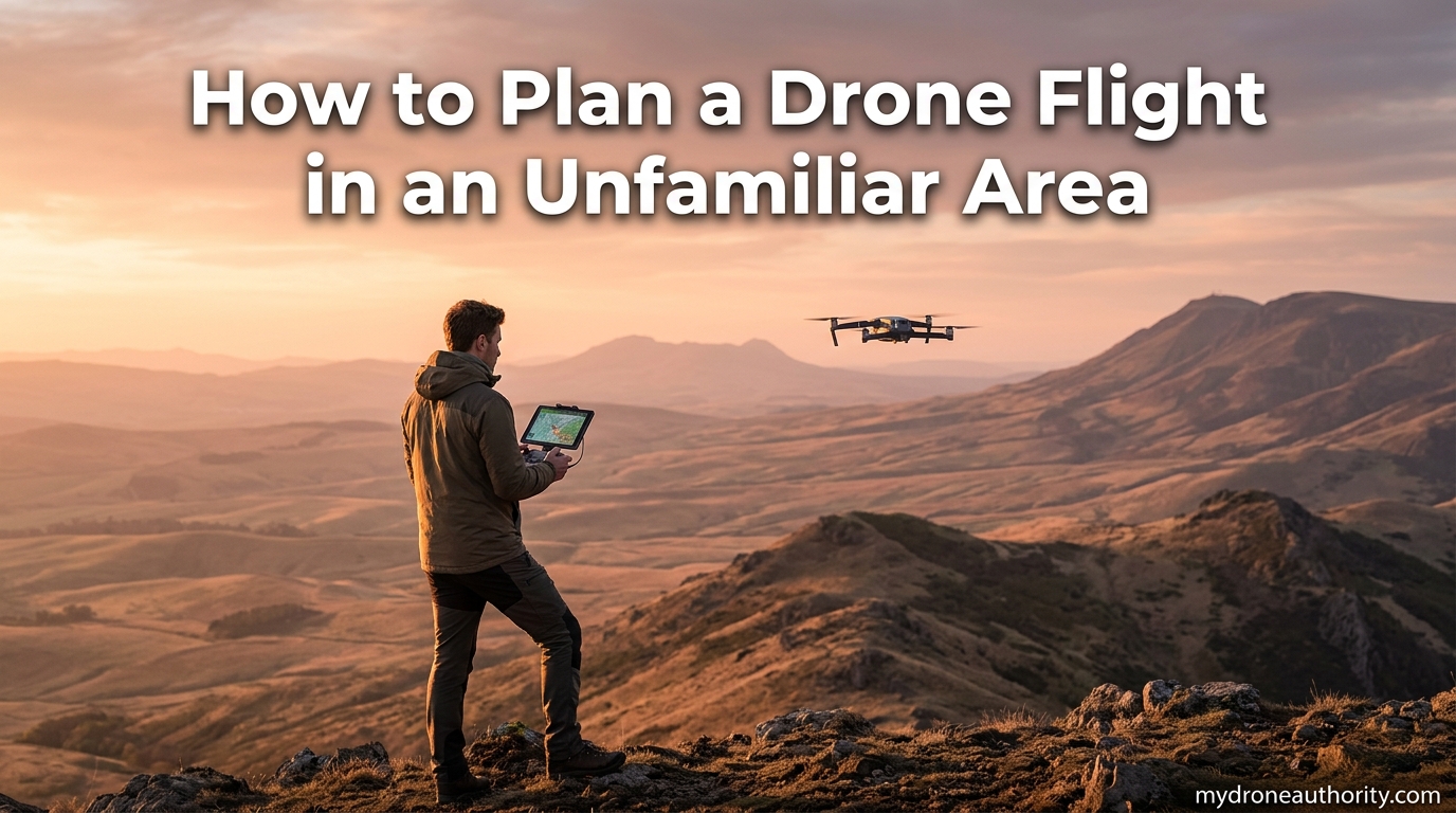
Flying a drone in a place you have never been is the moment most pilots get into trouble. New terrain means unexpected obstacles, unfamiliar airspace, and local rules you may not know about. That is exactly why I want to walk you through how to plan a drone flight in an unfamiliar area the right way.
When I first started flying, I lost a drone in a coastal cliff area because I skipped the airspace check and the wind shifted faster than I expected. That expensive lesson taught me that planning is not optional. A few minutes of preparation prevents most accidents, fines, and lost gear.
This guide breaks the planning process into seven clear steps. You will learn how to verify airspace restrictions, secure LAANC authorization, research local laws, check weather, survey the site, plot a safe flight path, and complete a pre-flight equipment check. By the end, you will have a repeatable system you can use before every flight in a new location.
Whether you fly recreationally or commercially under Part 107, the same preparation principles apply. The difference is mainly in which rules and authorization pathways you follow. I will point out where those paths diverge so you stay compliant either way.
Table of Contents
How to Plan a Drone Flight in an Unfamiliar Area: The 7-Step Process
The process below is the same one I use every time I travel to a new location for aerial photography. Follow the steps in order, because each one builds on the previous. Skipping ahead is how pilots end up with fines or crashed drones.
Step 1: Check Airspace Restrictions Before Anything Else
Airspace is the single most important thing to research before flying in a new area. The FAA divides U.S. airspace into controlled and uncontrolled zones. Controlled airspace sits around airports and requires authorization, while uncontrolled airspace (Class G) generally does not.
I always start by opening the FAA B4UFLY app or Aloft Air Control on my phone. Both pull live airspace data and show color-coded zones around the location you are checking. Green means you can generally fly, yellow means authorization is required, and red means no flying at all.
Look for these specific restrictions on the map:
- Airport traffic patterns and controlled airspace rings (Class B, C, D)
- Temporary Flight Restrictions (TFRs) that can pop up for events or wildfires
- Stadium TFRs that extend three nautical miles around major venues during events
- National parks, military installations, and FAA No Drone Zones
- Special Use Airspace like restricted areas and warning areas
Never trust a single source blindly. I cross-check B4UFLY against Aloft because their data layers sometimes update at different times. If anything looks ambiguous, the FAA UAS Data Delivery system is the authoritative reference.
Even if the area shows as Class G uncontrolled airspace, you still must follow all FAA safety rules. Uncontrolled does not mean unregulated. You are still required to fly below 400 feet, maintain visual line of sight, and comply with Remote ID.
Step 2: Get Authorization in Controlled Airspace Using LAANC
If your flight area falls inside controlled airspace, you need authorization before takeoff. The good news is the Low Altitude Authorization and Notification Capability, better known as LAANC, makes this fast. In many cases, approval arrives in seconds.
LAANC is a partnership between the FAA and private companies called UAS Service Suppliers. It automates near-real-time authorization for flights in controlled airspace at or below 400 feet. The system covers a large percentage of controlled airspace across the country.
To get LAANC authorization, follow these steps:
- Open an approved LAANC provider app such as Aloft, AirHub, or DroneUp.
- Drop a pin on your planned flight location or draw your flight area polygon.
- Select your planned altitude and start time.
- Choose your authorization type: recreational (Part 49) or commercial (Part 107).
- Submit and wait for the automated approval, which usually arrives instantly.
- Save or screenshot the authorization for your records.
Recreational flyers can use LAANC under the community-based set of safety guidelines. Commercial pilots operating under Part 107 use the same system but select the Part 107 pathway. The process is nearly identical from the user side.
For areas not covered by LAANC, you must request authorization through the FAA DroneZone portal. That manual process can take weeks, so plan ahead if your destination is not LAANC-enabled. I learned this the hard way when I tried to fly near a regional airport with no LAANC coverage on short notice.
Step 3: Research Local and State Drone Laws
The FAA controls the airspace, but states, counties, and cities can regulate takeoff, landing, and operation of drones on property they control. This is where many pilots get caught off guard in unfamiliar areas. Local rules can shut you down even when the FAA says you are clear to fly.
Before flying anywhere new, I research three layers of local regulation:
- State drone laws, which vary widely and often restrict flights over critical infrastructure or certain facilities
- County and city ordinances, especially bans in parks, beaches, and downtown areas
- Property-specific rules for state parks, national wildlife refuges, and recreation areas
National parks are a common trap. The National Park Service bans drone takeoff and landing on all NPS property. State parks often follow similar rules but may allow flying with a permit. Always check the specific park website before you travel.
For local ordinances, I search the city or county government website for the keyword “drone” or “UAS.” If nothing shows up, I call the local parks department or city attorney’s office. A two-minute phone call has saved me from fines more than once.
Private property is another gray area. The FAA does not regulate flights over private property, but low flights can trigger trespass or nuisance claims under state law. A good rule of thumb is to avoid hovering low over homes, and never fly directly over people who have not given permission.
Step 4: Check Weather Conditions and Wind
Weather is the most overlooked planning step for new pilots. Wind, precipitation, and temperature all affect how your drone flies. Many consumer drones are rated only for moderate wind, and cold temperatures drain batteries dramatically faster.
I check three things before every flight in a new area:
- Surface wind speed and gusts, with a personal cap of around 15 mph for my aircraft
- Wind direction at altitude, which can be much stronger than surface wind
- Precipitation chance, visibility, and cloud ceiling height
For detailed aviation weather, I use the National Weather Service aviation forecast and UAVForecast. UAVForecast is excellent for drone pilots because it shows wind at different altitudes and gives a simple go or no-go readout for your exact GPS coordinates.
If you fly anywhere near a coast or mountains, expect the wind to change quickly. Coastal thermals and mountain downdrafts have caught many pilots off guard. Build a wind buffer into your planning and always keep enough battery to fly back into the wind.
Cold weather deserves a special mention. Below about 50 degrees Fahrenheit, lithium polymer batteries lose capacity fast. I keep batteries warm in an inside pocket before flight, and I never fly below 30 percent battery in cold conditions. Land earlier than you normally would.
Also check the KP index if you rely heavily on GPS. A high KP index indicates geomagnetic instability, which can degrade GPS accuracy. This matters most for automated flight modes and mapping missions where precise positioning is critical.
Step 5: Survey the Physical Location in Person
Maps and apps only tell you part of the story. When you arrive at an unfamiliar site, walk the area on foot before you ever power on the drone. This is the step that catches obstacles no app will show you.
During my on-site survey, I look for the following hazards:
- Overhead power lines, especially the thin hard-to-see ones between poles
- Tall trees, buildings, and antennas that could block your return path
- Bodies of water where a downed drone cannot be recovered
- People, pets, livestock, and wildlife in the area
- Construction sites, roads, and active railways nearby
Pick a takeoff and landing zone that is flat, dry, and free of dust or sand. Avoid gravel if you can, because loose debris gets sucked into motors and can damage props. I carry a small landing pad for exactly this reason.
Once on site, power up the drone and let it sit on the ground for a moment. Watch how many GPS satellites lock on. You want at least 10 to 12 satellites for a strong fix. If the count is low or the home point shows incorrectly, do not take off. Move to a more open area.
Pay attention to compass interference too. Reinforced concrete, metal fences, and parked vehicles can distort your compass. If the app warns of a compass error, walk at least 20 feet away from any large metal object and recalibrate.
Step 6: Plan Your Flight Path and Waypoints
With airspace, weather, and site conditions verified, you are ready to plan the actual flight. Even for a casual flight, I always sketch a rough path mentally before takeoff. For mapping or commercial work, I plot precise waypoints in advance.
Here is the flight path planning process I follow:
- Set your home point on the controller and confirm it matches your actual takeoff location.
- Set return-to-home altitude higher than the tallest obstacle in your area.
- Define your flight area boundary and stay inside it.
- Plan an outbound path, a shooting or mapping pattern, and a return approach.
- Account for wind direction so your return leg is into the wind if possible.
- Always reserve at least 25 percent battery for the trip home and landing.
Visual line of sight is a hard FAA requirement for almost all drone operations. Plan your path so the drone stays visible to you or a visual observer at all times. If you cannot see it, you cannot legally fly it under most rules.
Return-to-home, or RTH, is one of the most important safety features on modern drones. Set the RTH altitude above the highest obstacle between your flight area and home point. Test RTH once at low altitude in a new location so you understand how the drone behaves there.
For mapping missions, software like DroneDeploy or Litchi lets you pre-plan waypoints, overlap, and camera triggers. I always set overlap conservatively for unfamiliar terrain, because you cannot easily re-fly a mapping mission if the data is bad.
Tell someone where you are flying and when you expect to be back. If something goes wrong in an unfamiliar area, that simple step can be the difference between a quick recovery and a long search.
Step 7: Complete Your Pre-Flight Equipment Checks
The final step before takeoff is a structured pre-flight check. I use the same checklist every time, regardless of how familiar I am with the location. The goal is to catch any equipment problem before the drone is in the air.
My pre-flight checklist looks like this:
- Drone battery fully charged and properly seated
- Controller battery charged and paired with the drone
- Phone or tablet fully charged with the flight app updated
- Props inspected for cracks and properly tightened
- Firmware on drone, controller, and battery all current
- Remote ID broadcast functioning (required by FAA)
- MicroSD card installed with enough free space
- Compass and IMU calibration current for this location
- Home point set correctly on the controller map
- RTH altitude set above tallest nearby obstacle
- Obstacle avoidance sensors enabled and clear of debris
Remote ID is not optional anymore. The FAA requires nearly all drones over 0.55 pounds to broadcast identification and location data in real time. Verify your drone either has built-in Remote ID or that you have an external broadcast module attached and powered.
Start your first flight in a new area conservatively. I do a low hover at about 10 feet for 30 seconds to listen to the motors and watch for any unusual behavior. If anything feels off, land and investigate before climbing higher.
FAA Regulations You Must Know Before Flying
A few FAA rules come up over and over when pilots ask about flying in new places. Understanding them in plain language helps you make smart decisions on the ground.
The 400 Foot Rule
The 400 foot rule says you must keep your drone under 400 feet above ground level in uncontrolled airspace. The rule exists to keep drones below where manned aircraft are legally allowed to fly. There is one important exception: if you are flying within 400 feet of a structure, you can fly up to 400 feet above the top of that structure. This exception is useful for tower inspections but does not apply to everyday recreational flights.
The 1:1 Rule for Drone Operations
The 1:1 rule, sometimes called the operations over people rule, refers to how close you can fly to people who are not directly involved in your flight. In simple terms, a Category 1 drone weighing less than 0.55 pounds can fly over people, but heavier drones face increasing restrictions. For most pilots, the practical takeaway is to never fly directly over people who have not consented, especially in crowded or unfamiliar areas.
Remote ID Requirements
Remote ID is essentially a digital license plate for your drone. The FAA requires drones to broadcast identification, location, and altitude data. Most newer consumer drones have built-in Remote ID. If yours does not, you need an external broadcast module or you must fly inside an FAA-Recognized Identification Area, known as a FRIA.
Recreational vs Commercial Rules
Recreational flyers operate under a community-based organization’s safety guidelines and must pass the free TRUST test. Commercial pilots operate under Part 107, which requires passing a knowledge test at an FAA-approved testing center. Both pathways allow LAANC authorization, but the specific rules for altitude, distance from people, and night flying differ.
Carry proof of your registration and remote pilot certificate if applicable. In unfamiliar areas, law enforcement or park rangers may ask to see documentation. Having it ready shows you are a responsible pilot and often defuses the situation immediately.
Best Apps for Planning a Drone Flight in a New Area
The right app makes flight planning much easier. I use a combination of two or three apps depending on the complexity of the location. Here are the most trusted options for 2026.
FAA B4UFLY is the official FAA app and the most authoritative free option. It shows airspace restrictions, TFRs, airports, and stadium zones. The interface is clean and the data comes directly from FAA sources.
Aloft Air Control is my personal favorite. It combines airspace data, LAANC authorization, weather, and flight logging in one app. The map is fast and the LAANC workflow is smooth. It is free for basic use with paid tiers for commercial operations.
AirHub Portal by Airspace Link is popular with commercial operators. It offers advanced flight planning tools, local jurisdiction data, and detailed airspace analysis. If you fly commercially in unfamiliar areas often, AirHub is worth the learning curve.
UAV Forecast is the app I use for weather planning. It gives a go or no-go readout for your exact location, plus wind and KP index data tuned for drone pilots. Pair it with one of the airspace apps above and you have most of your planning covered.
FAQs
What is the 1:1 rule for drones?
The 1:1 rule refers to FAA operations over people categories. A Category 1 drone weighing under 0.55 pounds can fly over people, while heavier drones face increasing restrictions. In practice, the safest approach is to never fly directly over anyone who has not consented, especially in unfamiliar areas where you cannot predict crowd movement.
How do I get permission to fly a drone in a no-fly zone?
True FAA No Drone Zones cannot be authorized for drone flight. However, if the area is controlled airspace rather than a strict No Drone Zone, you can get permission through LAANC. Open an approved LAANC provider app, select your flight area, request authorization at or below 400 feet, and receive near-instant approval. For non-LAANC areas, submit a manual request through the FAA DroneZone portal, which can take several weeks.
How do I create a drone flight plan?
Start by checking airspace restrictions in B4UFLY or Aloft, then secure LAANC authorization if needed. Research local laws, verify weather, and survey the site on foot. Set your home point and return-to-home altitude, define your flight area, plan an outbound and return path, and reserve at least 25 percent battery for landing. For automated flights, plot waypoints in apps like Litchi or DroneDeploy before takeoff.
What is the 400 foot rule for drones?
The 400 foot rule requires drone pilots to stay below 400 feet above ground level in uncontrolled airspace. The limit keeps drones below where manned aircraft are allowed to operate. The one exception is within 400 feet of a structure, where you may fly up to 400 feet above the structure’s highest point. Flying above 400 feet without authorization can result in significant FAA penalties.
What app shows where I can fly my drone?
The FAA B4UFLY app is the official free tool for checking where you can legally fly. Aloft Air Control and AirHub Portal are also popular and provide additional features like LAANC authorization, weather, and flight logging. Cross-checking two apps is recommended because their data layers can update at different times.
Conclusion: Build Your Own Pre-Flight Routine
Learning how to plan a drone flight in an unfamiliar area comes down to repeating the same seven steps every time. Check airspace, secure LAANC authorization, research local laws, verify weather, survey the site, plan your path, and complete a pre-flight equipment check. Do them in that order, every single flight.
The pilots who never lose drones or get fined are not the lucky ones. They are the ones who treat planning as part of the hobby, not an interruption to it. Once the checklist becomes habit, the whole process takes about ten minutes before takeoff.
Save this guide, build your own version of the checklist, and use it on your next trip to a new flying location. The few minutes you invest before launch will save you money, frustration, and possibly your drone.