
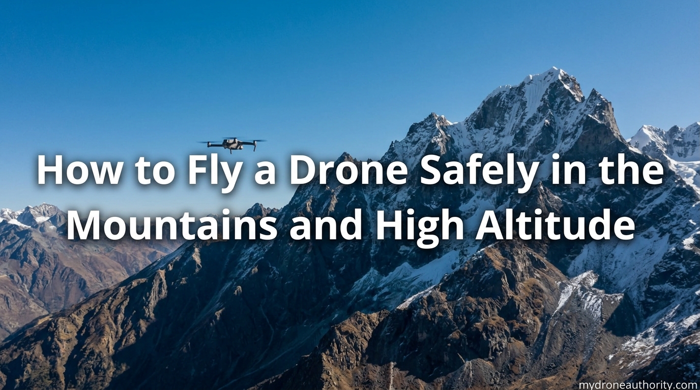
Last summer I packed my drone for a backcountry trip in the Colorado Rockies. Within ten minutes of launching at 11,200 feet, I learned more about mountain drone flying than any YouTube tutorial had ever taught me. The battery indicator dropped faster, the wind came from nowhere, and my GPS struggled to lock onto enough satellites in the tight valley.
If you want to fly a drone safely in the mountains, you need more than basic flying skills. Mountains introduce a unique combination of thin air, unpredictable wind, signal-blocking terrain, and regulatory nuance that flat-ground pilots rarely think about. This guide covers what I wish I had known before that first launch, plus the lessons our team has gathered from hundreds of high altitude flights since.
You will learn the 400 ft AGL rule as it applies to mountainous terrain, why your battery dies faster up high, how to set your Return to Home for variable terrain, and what to do when things go wrong. Let us get into it.
Table of Contents
Why Mountain Flying Is Different From Flat Terrain
Mountain flying challenges every assumption you have built as a flat-ground pilot. The air is thinner, the weather shifts in minutes, the wind wraps around ridges, and your radio signals bounce off canyon walls. None of these are theoretical problems. They show up on your first mountain flight.
At sea level, the air density is about 1.225 kg/m³. At 10,000 feet, that drops to roughly 0.905 kg/m³. Your propellers have less air to bite, your motors work harder to maintain lift, and the same battery that gives you 30 minutes at the coast might give you 18 minutes on a high alpine launch pad.
Then there is the terrain itself. A drone can lose GPS lock when a granite wall sits between it and most of the sky. Mountain valleys create katabatic winds that roll downhill unpredictably. A ridge lift that is perfect for hang gliders can sweep your drone into the next county in seconds.
The bottom line: the rules and intuition that work in a park will fail you in the mountains. You need a different mental model and a different pre-flight routine.
Understanding the 400 ft AGL Rule in Mountainous Terrain
The 400 foot AGL rule still applies in the mountains, but AGL means above ground level, not above your takeoff elevation. This distinction is the single most common source of confusion and the most common reason mountain pilots fly illegally without realizing it.
AGL stands for Above Ground Level. Your drone must stay within 400 feet of the ground directly beneath it, not 400 feet above where you launched. If you are standing on a 9,000 foot peak and fly straight up, you are not limited to 9,400 feet MSL. You are limited to whatever is 400 feet above the terrain below your drone at every point in the flight.
MSL stands for Mean Sea Level. This is the traditional altitude measurement. Most drone telemetry shows you MSL altitude. A pilot launching from a 9,000 foot peak might see their drone climb from 9,000 to 9,400 MSL on the screen, but if the terrain drops off behind them, they may already be flying higher than 400 ft AGL over that lower ground.
The FAA added a structure exception in 2016. You may fly within 400 feet of a structure, including a natural or man-made feature, as long as you stay within a certain horizontal distance. In mountainous areas, this means tall peaks and ridges effectively raise the legal ceiling, but only if you are flying close to the feature.
Here is the practical takeaway. Before each flight, study the terrain map in apps like Google Earth, B4UFLY, or AirMap. Identify the highest point of terrain within your planned flight area. Then plan your flight ceiling accordingly. The drone’s built-in altitude limit is usually set to 1,640 feet above takeoff point, but that is a software ceiling, not a legal one.
What 400 ft AGL Really Means With an Example
Imagine you are flying off a 10,000 foot summit. The terrain drops to 8,500 feet about a half mile to your west. If you fly your drone west at 10,200 feet MSL, the drone is only 200 feet above the summit, which is legal. But the same drone is now 1,700 feet above the terrain 500 meters west, which violates the 400 ft AGL rule. You are over the limit from a regulatory standpoint, even though your screen says you are just 200 feet above your launch point.
Battery Performance at High Altitude
Batteries are the silent killer in mountain drone operations. Lithium-polymer cells work less efficiently in cold temperatures, and high altitude locations are almost always cold, even in summer. Combine cold with thin air, and your battery can deliver 30% to 50% less flight time than the manufacturer claims.
The science is straightforward. Lift depends on air density. At 10,000 feet, the air is about 26% less dense than at sea level. To stay airborne, your motors need to spin faster and draw more current. Higher current draw means more heat, more internal resistance losses, and faster battery depletion.
On Reddit and MavicPilots, pilots flying in the Rockies and the Alps consistently report 20% to 40% flight time reductions above 8,000 feet. One pilot on r/drones shared that his DJI Mavic 3 dropped from 35 minutes of rated flight time to 19 minutes during a winter shoot at 9,400 feet in the San Juan Mountains. That is the rule, not the exception.
How to Maximize Battery Life in Cold and Thin Air
Keep your batteries warm before launch. I keep spare batteries in an inner jacket pocket close to my body until the minute I need them. A cold battery in a cold environment starts at a deficit that no flying technique can recover from.
Pre-heat the drone and battery. Most modern drones have a self-warming function for cold weather. Turn it on 10 to 15 minutes before flight if your model supports it. If not, store the drone in a warm car and move it out only when ready to fly.
Fly conservatively. Plan for 60% of your rated flight time as usable air time. Land at 30% battery, not 20%. The voltage curve of a cold battery can dip suddenly at the end of the discharge, and you do not want to be over a canyon when that happens.
Avoid aggressive flying. Sport mode at altitude drains batteries faster than cinematic mode. Save the fast maneuvers for low-elevation flights.
Wind and Weather Conditions in the Mountains
Wind in the mountains is not just stronger, it is unpredictable. A flat-field pilot deals with a steady wind from a single direction. A mountain pilot deals with wind that changes direction with elevation, sudden gusts rolling down from snowfields, and rotor effects behind ridges that can flip a drone in seconds.
Up-slope winds happen when sun-warmed air rises along a mountain face. They are usually gentle and predictable. Down-slope or katabatic winds happen when cold air drains downhill, often at dawn or after sunset. These can be violent and change direction without warning.
Mountain wave conditions create standing waves of air that extend miles downwind of major peaks. They produce updrafts and downdrafts that can slam a drone hundreds of feet in a few seconds. If a local weather forecast mentions wave activity or moderate to strong winds aloft, do not fly.
Check the wind rating of your drone before you go. Consumer drones like the DJI Mini series handle about 23 to 24 mph winds. Prosumer models like the Mavic 3 handle about 26 mph. Heavy-lift commercial drones can handle 30 mph or more. If the forecast calls for winds above 70% of your drone’s rated limit, stay on the ground.
How to Read Mountain Weather Before You Fly
Use mountain-specific forecasts. NOAA’s point forecasts, the National Weather Service’s mountain weather page, and commercial tools like Windy.com all offer high-resolution wind and turbulence forecasts for mountain regions.
Watch for cumulus buildups. Mountain cumulus clouds form in rising air and can grow into thunderstorms in under an hour. If you see vertical development, land immediately.
Check temperature gradients. A large temperature difference between the valley floor and the ridge top usually means strong wind potential. Cold air sinks and creates drainage flows.
GPS Signal Loss in Valleys and Canyons
GPS is the silent backbone of safe drone flight. It enables position hold, return to home, and most autonomous safety features. Lose GPS, and your drone reverts to ATTI mode, which means it drifts with the wind and only responds to stick inputs. In a mountain canyon, that is a recipe for a fly-away.
GPS signals come from satellites in orbit. They are weak radio signals, and they do not penetrate solid rock. A 1,000 foot cliff face between your drone and half of the sky means you have lost half of the available satellites. Modern drones need a minimum of 8 to 12 satellites for a reliable GPS lock.
When the GPS count drops, your drone may switch to ATTI mode automatically. In ATTI mode, there is no position hold. The drone will drift. If you do not have the muscle memory to fly manually in wind, you can lose the drone in seconds.
Pilots on mavicpilots.com report that canyon flights are the most common scenario for fly-aways. The drone enters a narrow slot, GPS drops, the pilot panics, and the drone drifts down-canyon in the rotor wind. By the time the pilot recovers, the drone is over a cliff or a kilometer away.
How to Prevent GPS Signal Loss in the Mountains
Plan your flight path to keep the drone high enough to see most of the sky. A drone at 50 feet above the valley floor with 2,000 foot walls on both sides will lose GPS. The same drone at 400 feet above the valley floor will keep a stronger lock.
Do not fly down narrow slots. If the slot is wider than 200 feet and shorter than 500 feet, you can usually maintain GPS. Anything tighter is a gamble.
Monitor your satellite count. Most apps show the count on the main flight screen. If it drops below 10, fly the drone back to a position with better sky visibility immediately.
Practice manual flying in ATTI mode. In an open field, turn off GPS and learn how the drone handles. Mountain flying is not the time to learn this skill.
Part 107 vs Recreational Rules for High Altitude Flying
The FAA treats recreational and commercial pilots differently when it comes to high altitude operations. If you fly under Part 107 (the commercial rules), you have a formal pathway to fly above 400 ft AGL using a waiver. Recreational flyers have a much narrower path.
Under Part 107, you can apply for an altitude waiver through the FAA’s DroneZone portal. The waiver process takes 60 to 90 days, but it allows you to fly up to a specified higher altitude for legitimate purposes like search and rescue, mapping, or inspection work. Mountain operations like pipeline inspection or avalanche monitoring are common waiver use cases.
Recreational pilots have the 400 ft AGL limit and the structure exception. The structure exception lets you fly within 400 feet of a tower, building, or natural feature, but you must stay within a horizontal distance equal to the height of the structure. This is a hard cap that does not bend.
LAANC, the Low Altitude Authorization and Notification Capability, lets pilots in controlled airspace request airspace authorization in near real time. It does not waive the 400 ft AGL rule. It only addresses whether you can operate in controlled airspace at all. Most mountain flying happens in uncontrolled airspace, which is generally open to drone operations below 400 ft AGL.
National park and wilderness area rules often ban drone launches entirely. Before you fly in any federal wilderness or national park, check the specific rules for that area. Yellowstone, Yosemite, and Rocky Mountain National Park all prohibit drone launches and landings without a special permit.
Setting Return to Home for Mountainous Terrain
Return to Home is the most important safety feature on your drone, and it is also the most dangerous in the mountains if you do not configure it correctly. The default RTH setting assumes you launched from the highest point in the area. In mountain terrain, that assumption can send your drone into a cliff.
When RTH triggers, the drone climbs to a preset altitude, then flies in a straight line back to its home point. In a flat field, this is fine. In a mountain valley, the drone may climb right into the canyon wall on the way home.
Newer drones from DJI, Autel, and Skydio have terrain-aware RTH. These drones use downward sensors and onboard maps to follow the ground profile on the way back. If you are flying in the mountains, you want a drone with this feature, and you want it turned on.
For older drones, the safest setting is to set your RTH altitude to a level higher than any obstacle between your drone and the home point. Walk the route on a topographic map. Identify the highest ridge between your farthest flight position and your launch point. Set RTH altitude 50 feet above that ridge.
Common RTH Mistakes in the Mountains
Setting RTH altitude too low. Pilots often leave RTH at the default 100 feet above takeoff. In a valley with 500 foot walls, the drone will fly straight into a wall on the way home.
Forgetting to update the home point. If you walk to a new launch position after the drone has acquired GPS, the home point is still your old position. Many pilots lose their drone because the drone flew back to where they used to be, not where they are now.
Relying on RTH to save you. RTH is a backup, not a flight plan. If the wind is strong, RTH can fail because the drone cannot make headway. Always plan to fly the drone home manually when conditions are challenging.
Pre-Flight Mountain Flying Checklist
A pre-flight checklist is the single highest-leverage habit for mountain drone safety. Our team uses a 12-step routine before every mountain flight. It takes 15 minutes, and it has saved our drones more times than I can count.
- Check the local aviation weather forecast. Look at wind speed, gust factor, cloud base, and the probability of thunderstorm development. If any value is outside your drone’s rated limits, do not fly.
- Review the terrain map. Use CalTopo, Gaia GPS, or Google Earth to identify the highest terrain within your planned flight area. Mark your maximum safe altitude for each zone.
- Check airspace status. Use B4UFLY or AirMap to confirm you are not in controlled airspace or a restricted zone. Confirm no TFRs are in effect for the area.
- Verify national park or wilderness rules. If you are in a federal wilderness or national park, confirm that drone operations are permitted at your specific location.
- Inspect the drone. Check propellers for nicks, the gimbal for free movement, and the body for damage from your last flight.
- Check battery health. Look at the cycle count and voltage of every battery you plan to use. Replace any battery with more than 200 cycles or any cell that is more than 0.05V off from the others.
- Warm the batteries. Keep them in an inner pocket until ready to install. A cold battery starts with reduced capacity.
- Format your SD card. Start every flight with an empty card so you do not run out of space mid-flight.
- Calibrate the compass. In the mountains, magnetic interference from iron-bearing rock can throw off your compass. Recalibrate at every new launch site.
- Set RTH altitude. Walk the route on a map and set RTH 50 feet above the highest obstacle between your farthest position and home.
- Check satellite count at launch. Wait until the drone has locked onto at least 12 satellites before takeoff. Confirm the home point is recorded at your current position, not your last flight’s location.
- Test hover. After takeoff, hover at 10 feet for 30 seconds. Confirm position hold is stable and there is no drift or odd behavior before flying away.
Emergency Procedures for Mountain Drone Failures
No competitor I have read covers this in depth, and that is a problem. Mountain drone failures happen fast and the recovery options are limited. Knowing what to do in the first 10 seconds can mean the difference between bringing the drone home and losing it in a canyon.
If GPS drops mid-flight, the drone will switch to ATTI mode and start drifting. Cut the throttle slightly to descend, then fly the drone toward a safe landing area using only stick inputs. Do not try to climb, do not try to fight the wind head-on. Get the drone to a place you can recover it before you worry about the GPS issue.
If the battery drops below 30% unexpectedly, land immediately. Cold batteries and high current draw can trigger a sudden voltage drop. The drone may give you a low battery warning and start auto-landing with no further input. Pick a flat spot and execute the landing manually if you can.
If you see a fly-away, switch to sport mode and fly the drone manually toward home. Sport mode gives you more authority in wind. Do not panic and do not let go of the sticks. Many pilots have recovered fly-aways by staying calm and manually piloting back into GPS coverage.
If the drone ends up on a cliff face or in a tree, mark the GPS coordinates on your screen before the drone goes down. Most drones record the last known position. Use the Find My Drone feature in your app to locate it later. A retrieval mission is much easier with a precise location.
The best emergency procedure is the one you never have to use. Fly conservatively, plan for failure, and never assume your drone will save itself. Mountains are unforgiving, and a drone that flies perfectly in a park can fail quickly in alpine conditions.
FAQ’s
Can I fly a drone in the mountains?
Yes, you can fly a drone in the mountains as long as you follow the FAA 400 ft AGL rule, avoid restricted airspace, and respect national park and wilderness area rules. Mountain terrain, thinner air, and unpredictable wind make mountain flying more complex than flat-ground operations.
How high can you fly a drone if you are on a hill?
You can fly your drone up to 400 feet above the ground directly beneath the drone, not 400 feet above where you launched. If you launch from a tall hill and fly over lower terrain, your drone may already be over the AGL limit even at low altitudes above the takeoff point.
What is the 1 to 1 rule for drones?
The 1 to 1 rule for drones means you should keep the drone within 1 mile of the controller and at an altitude that allows you to see the drone clearly. This rule supports safe operation and visual line of sight, which is required by FAA regulations for both recreational and Part 107 pilots.
What happens to drone altitude when flying from a large mountain?
When you launch from a high mountain, your drone’s barometric altitude reads higher than at sea level, but the 400 ft AGL limit is still measured from the terrain below. This means a drone launched from a 9,000 foot peak has less legal headroom than the screen altitude suggests, especially over lower ground.
Can a drone fly as high as Everest?
No, consumer and most commercial drones cannot fly as high as Mount Everest at 29,032 feet. Thin air at extreme altitudes prevents lift, and most drones have a software ceiling of about 16,400 feet MSL. Specialized high altitude drones used for research can reach higher, but they are not consumer products.
Why does a drone battery die faster in the mountains?
Drone batteries die faster in the mountains because thinner air reduces propeller efficiency, forcing motors to work harder and draw more current. Cold temperatures compound the issue by reducing the battery’s chemical efficiency, which can cut flight time by 20% to 40% above 8,000 feet.
How do I prevent GPS signal loss in mountain canyons?
Prevent GPS signal loss in mountain canyons by keeping the drone high enough to see most of the sky, avoiding narrow slots, monitoring the satellite count on your screen, and practicing manual ATTI mode flying. A drone with 12 or more satellites and clear sky visibility will hold position reliably in mountain terrain.
Final Thoughts on Mountain Drone Safety
Learning how to fly a drone safely in the mountains is less about raw skill and more about respecting the conditions. Thin air, strong wind, GPS dropouts, and regulatory nuance all stack the deck against you. A solid pre-flight routine, conservative battery planning, terrain-aware RTH settings, and knowledge of the 400 ft AGL rule as it applies to variable terrain will keep you out of trouble in nearly every situation.
Start small. Fly a familiar peak at low altitude first, get a feel for how your specific drone handles the conditions, and build from there. The mountains will be there for your next adventure, but only if you bring your drone home. Stay safe, fly conservatively, and keep learning.