
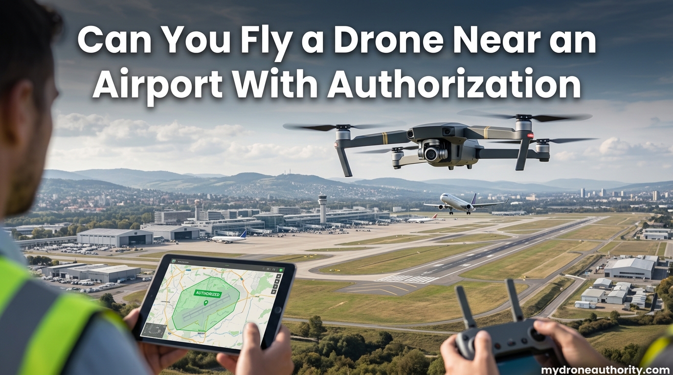
Yes, you can fly a drone near an airport with authorization, but only if you receive airspace approval through the FAA’s Low Altitude Authorization and Notification Capability (LAANC) system or by submitting a manual request through the FAA DroneZone. The old 5-mile notification rule was abolished in 2019, and the current system relies on airspace class rather than distance from the airport itself.
If the airport sits inside controlled airspace (Class B, C, D, or surface-level Class E), you need a near-instant LAANC authorization or a DroneZone approval before takeoff. If the airport is surrounded by Class G uncontrolled airspace, no FAA authorization is required at all, though you still need to yield to manned aircraft and follow standard safety rules.
In this guide, our team breaks down exactly how the authorization process works, which airports require approval, and how to get cleared in under five minutes using a LAANC app. We also cover altitude limits, the difference between recreational and commercial rules, traffic pattern safety, and the penalties for flying without authorization in 2026.
Whether you are a hobbyist capturing photos near a regional airport or a Part 107 pilot handling an inspection job close to a towered field, this article gives you the practical, FAA-accurate steps to fly legally. We have pulled insights from official FAA documentation, pilot forums like r/drones, and our own field experience to make this the most complete resource available.
Table of Contents
Understanding Controlled vs Uncontrolled Airspace
Before you can answer whether you need authorization, you have to know which type of airspace surrounds the airport. The FAA divides U.S. airspace into classes, and only some of them require drone pilots to ask for permission.
Controlled airspace around airports typically includes Class B (major metropolitan hubs like LAX or JFK), Class C (mid-size commercial airports with control towers and radar service), Class D (smaller towered airports), and surface-based Class E2 (towered airports that do not fit B, C, or D). Any drone flight inside these areas requires FAA airspace authorization before launch, regardless of how brief or how low you intend to fly.
Class A airspace starts at 18,000 feet MSL and is off-limits to all drone flights under standard rules, so it rarely affects hobbyist or commercial operations. Class G airspace is uncontrolled, meaning the FAA does not actively manage air traffic there. Many small rural airports, private grass strips, agricultural airstrips, and heliports sit entirely inside Class G airspace.
Our team has confirmed through the FAA’s official guidance that no LAANC authorization is needed for Class G, even when flying directly above a non-towered airport. This surprises many new pilots who assume every airport in the country requires a clearance call.
To find out which class applies to your flight area, use the free B4UFLY app or check the FAA’s UAS Facility Maps. These tools show you the exact boundaries, grid altitudes, and whether LAANC is available for the location you want to fly. The FAA also publishes a “Where Can I Fly?” resource that breaks down restrictions by location.
One quick way to sanity-check your location: if the airport has a control tower, it is almost always surrounded by controlled airspace that requires LAANC. If the airport is non-towered, you likely have more flexibility, but always confirm with an official source before takeoff.
Can You Fly a Drone Near an Airport With Authorization? The Two Approval Paths
There are two official ways to receive authorization to fly a drone near an airport in controlled airspace: the automated LAANC system and the manual FAA DroneZone portal. Which one you use depends on where you fly, how quickly you need approval, and whether your operation fits inside LAANC’s automated parameters.
LAANC is the fast path. It provides automated, near-real-time authorization for hundreds of controlled airports across the United States. You open a LAANC-enabled app, draw your flight area on the map, request an altitude at or below the published grid value, and most requests are approved in seconds. LAANC covers the vast majority of routine drone flights near airports and is the default choice for both recreational and Part 107 pilots.
The FAA DroneZone is the fallback for cases LAANC cannot handle automatically. This includes flights that need higher altitudes than the published grid allows, recurring or long-duration operations, requests at airports that are not yet part of the LAANC network, and complex scenarios like flying over people or moving vehicles near an airport environment. DroneZone requests typically take several days to process, so plan ahead.
Some pilots wonder whether they can simply call the control tower for permission. Under current FAA rules, calling a tower does not constitute authorization. Recreationally, the only legal path is LAANC. Commercially, LAANC and DroneZone are your two valid options.
How to Get LAANC Authorization Step by Step
The LAANC authorization process is straightforward once you know the steps. Our team has used LAANC dozens of times, and most approvals arrive in under a minute. Here is exactly how it works.
Step 1: Download a FAA-approved LAANC UAS Service Supplier (USS) app. Popular options include Aloft, AirMap, Avision, Robotica, and DroneUp. All of them connect to the same FAA system, so pick the interface and subscription model that suits you. Aloft (formerly Kittyhawk) tends to be the most widely recommended in pilot forums.
Step 2: Open the app and pan the map to the airport area where you want to fly. The app will shade controlled airspace in color and show grid numbers indicating the maximum auto-approval altitude for each block. These grid altitudes come directly from the FAA’s UAS Facility Maps and are updated periodically.
Step 3: Tap the grid covering your launch site and select the altitude you need. If your requested altitude matches or is below the grid value, LAANC will typically approve instantly. If you request higher than the grid allows, the app routes you to a manual DroneZone request instead.
Step 4: Enter your flight details, including start time, duration, drone serial number, and remote pilot certificate number if you fly under Part 107. Recreational flyers will need their TRUST completion certificate and drone registration number.
Step 5: Submit the request and wait for the on-screen authorization. Most approvals arrive within seconds. You will see an authorization window with a start time, end time, approved altitude, and a unique reference number.
Step 6: Save or screenshot the authorization. That document is your legal proof of FAA approval and should be kept accessible during your entire flight in case law enforcement or an FAA inspector asks to see it. Forum pilots on r/drones consistently report that the whole process takes about three taps once you get used to it.
One real-world example: a Part 107 pilot we spoke with recently requested LAANC clearance near a Class D regional airport, asked for 200 feet (well below the 400-foot grid ceiling), and had approval in roughly 15 seconds. The authorization was valid for a four-hour window, which is plenty for most photo and inspection jobs.
Another scenario worth noting: if LAANC shows “not available” for a specific grid, that does not mean flying is forbidden. It means automated approval is not offered for that location and you must file a manual DroneZone request. Many pilots misinterpret this screen and assume they cannot fly at all.
Flying Near Airports in Uncontrolled Class G Airspace
Many drone pilots are surprised to learn that airports in Class G airspace require no FAA authorization at all. These are typically small, non-towered airports, private grass strips, agricultural fields, and rural heliports that do not meet the FAA’s threshold for controlled airspace.
Even without LAANC, you still have legal responsibilities. Under both Section 44809 (recreational) and Part 107 (commercial), drone pilots must yield the right-of-way to any manned aircraft and never interfere with airport traffic patterns. The FAA’s rules are explicit: a drone cannot be flown in a careless or reckless manner that creates a collision hazard.
Before launching near any small airport, check airnav.com or the FAA Chart Supplement for traffic pattern altitude, runway direction, common traffic frequencies, and operating hours. Most small-airport patterns sit at 1,000 feet AGL, well above the 400-foot drone ceiling, but helicopter traffic, low approaches, and crop-duster activity still happen below that altitude.
Our team recommends contacting the airport operator or fixed-base operator (FBO) before flying near a non-towered field. This is not legally required in Class G, but it builds goodwill and can give you real-time information about traffic that day. Many small airports welcome drone pilots who communicate openly.
One Reddit user in r/drones summed it up well: small airports often have no airspace restrictions at all, but a courtesy call to the operator prevents misunderstandings and keeps the drone community in good standing with the broader aviation world.
Be aware of pattern geometry. Standard traffic patterns are flown with left turns unless the airport publishes right traffic for a specific runway. If you fly your drone near the approach end of a runway, you are in the highest-risk zone for traffic conflicts. Lateral distance from the runway and awareness of pattern direction are two of the most practical safety habits you can develop.
Weather also matters more near small airports because there is no control tower to alert traffic about conditions. Always scan for incoming aircraft visually and by radio, monitor 122.9 or the airport’s common frequency if you have a receiver, and land immediately if you hear or see any manned traffic approaching.
Altitude Limits and Why 400 Feet Matters
The 400-foot AGL (above ground level) ceiling is the single most important altitude rule for drone pilots in the United States. Whether you fly recreationally under Section 44809 or commercially under Part 107, the default maximum altitude is 400 feet above ground level.
Near airports in controlled airspace, LAANC grid altitudes often cap you well below 400 feet. Some grids near busy airports allow only 50 feet, 100 feet, or zero feet, meaning no drone flight at all in that block. The UAS Facility Maps publish the exact grid altitudes the FAA uses to evaluate requests, and LAANC enforces them automatically.
How high can a drone fly without FAA authorization? In uncontrolled Class G airspace, you can fly up to 400 feet AGL with no authorization at all. In controlled airspace, even 1 foot of altitude requires LAANC or DroneZone approval before takeoff. There is no “low enough to skip authorization” exception.
Flying above 400 feet anywhere, even in Class G, violates FAA rules unless you are within 400 feet of a structure and operating under specific Part 107 provisions for tower inspections, building surveys, or bridge work. The 400-foot rule exists because manned aircraft typically stay above that altitude except during takeoff and landing.
Part 107 pilots have one additional option: if you are inspecting a structure such as a cell tower, you can fly up to 400 feet above the structure’s highest point, provided you stay within a 400-foot radius of it. This exception does not apply to recreational pilots.
Recreational vs Commercial Drone Pilots Near Airports
Both recreational and commercial drone pilots need FAA authorization to fly in controlled airspace near airports. The mechanism is the same, but the underlying rules differ in important ways.
Recreational pilots fly under Section 44809, which requires them to pass The Recreational UAS Safety Test (TRUST), register their drone if it weighs more than 0.55 pounds, and follow community-based safety guidelines. Recreationally, you cannot “request permission” from an airport tower directly; LAANC is your only authorization path in controlled airspace.
Commercial pilots operate under Part 107, which requires a Remote Pilot Certificate obtained by passing the initial aeronautical knowledge test. Part 107 pilots enjoy more flexibility, including the ability to request DroneZone authorizations for complex operations, fly at fixed sites under written agreements with airport operators, and conduct operations that recreational pilots cannot.
The shared requirement is non-negotiable: both groups must secure LAANC or DroneZone authorization before flying a drone near an airport in controlled airspace, regardless of the size of the drone or the brevity of the flight. No drone is too small to need authorization in Class B, C, D, or surface Class E2 airspace.
Fixed site agreements are worth understanding. If you fly at the same location near an airport on a recurring basis (such as weekly real estate photography at the same neighborhood), you can apply for a long-term agreement through the DroneZone that eliminates the need to request LAANC every single time. These agreements typically take 60 to 90 days to process but save time over the long run.
Common Mistakes and Penalties for Flying Without Authorization
Flying a drone near an airport without authorization is a federal violation. The FAA can issue civil penalties up to $27,500 per violation, and criminal penalties can reach $250,000 and three years in prison for the most serious cases. Enforcement actions have increased as Remote ID technology makes it easier to identify illegal operators.
The most common mistake pilots make is assuming the old 5-mile notification rule still exists. It was fully replaced in 2019 by the airspace-class system. Telling a tower you are flying nearby is no longer sufficient and never has been under the current rules. Distance from the airport is irrelevant; airspace class is what triggers the authorization requirement.
Another frequent error is relying on DJI geofencing as a substitute for FAA authorization. DJI’s unlock system is separate from FAA requirements. Unlocking your drone does not grant legal authorization, and getting FAA approval does not automatically unlock your drone. You must handle both separately, and many new pilots assume one covers the other.
Forum pilots also report confusion about what to do when LAANC shows “not available” for a specific grid. The correct response is to submit a manual request through the FAA DroneZone, not to fly anyway. Patience here prevents enforcement letters later.
Flying without a Remote ID broadcast is another common violation. Remote ID, which became fully mandatory in 2026, adds a layer of traceability. Most modern drones broadcast identification and location data automatically, and law enforcement agencies near airports now have detection equipment that flags unauthorized or non-compliant flights in real time.
Other frequent errors include flying at night without anti-collision lighting (required under Part 107 since 2021), flying over moving vehicles near an airport approach path, and ignoring temporary flight restrictions (TFRs) that pop up for VIP visits, sporting events, or wildfire operations. Always check B4UFLY on the day of your flight, not just the day before.
If you do receive a letter from the FAA, respond promptly and professionally. Most cases are handled through education and warning letters rather than fines, especially for first-time, non-malicious violations. Pilots who ignore FAA correspondence face the harshest outcomes.
FAQ’s
Can you get permission to fly a drone near an airport?
Yes. You can get authorization to fly a drone near an airport in controlled airspace using the FAA’s LAANC system for instant approval or by submitting a manual request through the FAA DroneZone. No permission is needed for airports in uncontrolled Class G airspace.
Can you fly a drone in an authorization zone?
Yes, you can fly in an FAA authorization zone after receiving LAANC or DroneZone approval. LAANC provides near-instant automated authorization up to the published grid altitude, while DroneZone handles requests that fall outside LAANC’s automated limits.
How high can a drone fly without FAA authorization?
A drone can fly up to 400 feet above ground level in uncontrolled Class G airspace without FAA authorization. In controlled airspace near airports, any altitude requires LAANC or DroneZone authorization before takeoff.
What happens if you fly a drone near an airport without permission?
Flying a drone near an airport in controlled airspace without authorization is a federal violation. The FAA can issue civil penalties up to $27,500 per violation, and criminal penalties may apply in serious cases. Remote ID technology now makes unauthorized flights easier to detect and enforce.
Conclusion
Flying a drone near an airport with authorization is not only possible but quick and routine once you understand the system. The key takeaway: use LAANC for instant approval in controlled airspace, file a DroneZone request when LAANC cannot help, and skip authorization entirely for Class G airports while still yielding to manned aircraft and following traffic-pattern awareness.
Always check B4UFLY before every flight, confirm the airspace class on the UAS Facility Map, and keep your authorization document on hand during the operation. If you found this guide helpful, our team has additional resources on drone regulations, registration, and pilot certification on the rest of the site.