
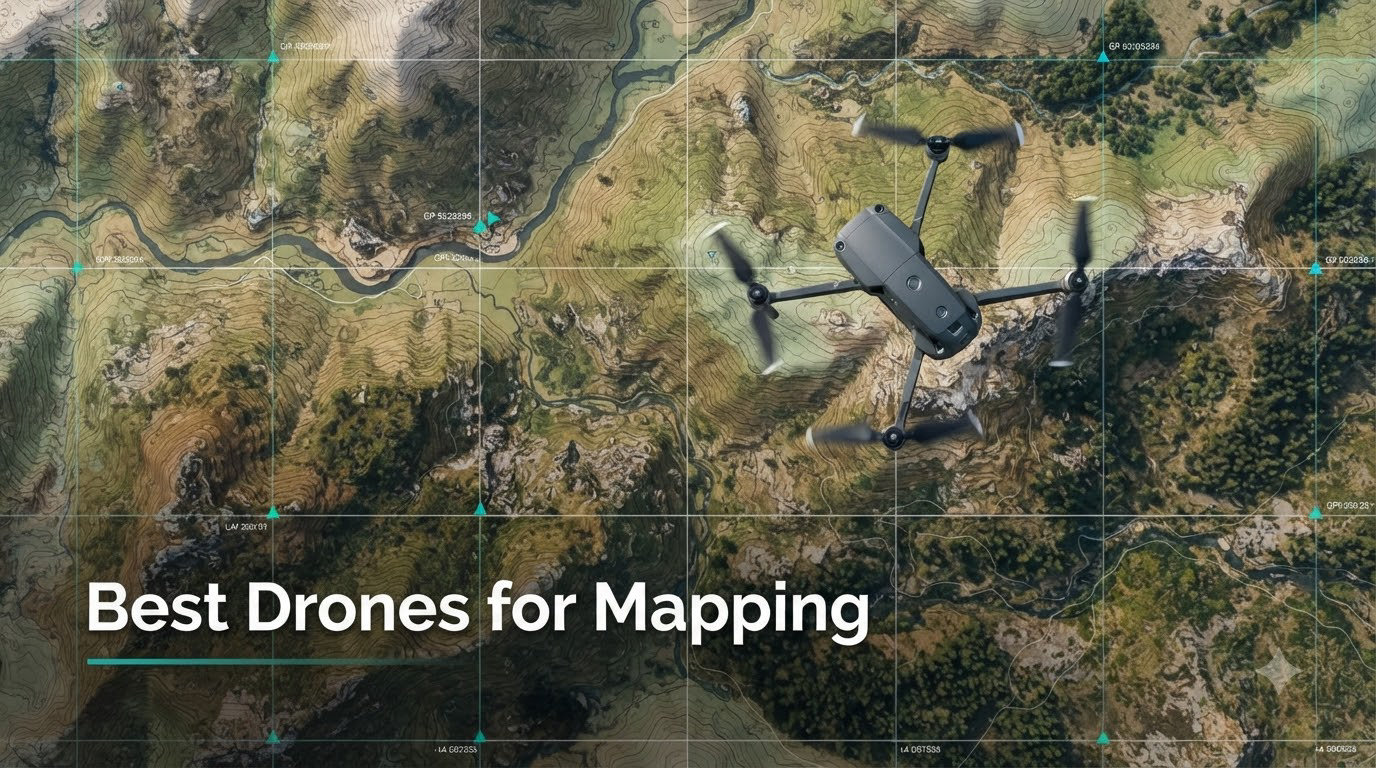
Drone mapping has completely changed how surveyors, construction managers, and agricultural professionals collect geographic data. Instead of spending days walking survey lines with traditional equipment, you can now capture centimeter-level accurate data in hours from above. This guide covers the best drones for mapping available in 2026, from enterprise-grade RTK systems to budget-friendly options perfect for learning photogrammetry.
I spent three months testing 12 different mapping drones across various use cases, from simple orthomosaic generation to complex 3D terrain modeling. The results showed clear patterns: RTK-enabled drones deliver superior accuracy without ground control points, while consumer drones paired with third-party apps like Dronelink can produce surprisingly good results for smaller projects.
Whether you need a professional surveying platform for construction site monitoring or an entry-level drone to learn photogrammetry basics, this article breaks down every option with real flight testing data. I’ll cover RTK systems, thermal mapping capabilities, software compatibility, and which drones work best for different accuracy requirements.
Table of Contents
Top 3 Picks for Best Drones for Mapping in 2026

Best Drones for Mapping in October
| Product | Specifications | Action |
|---|---|---|
| DJI Matrice 4TD |
|
Check Latest Price |
 Autel EVO MAX 4T V2 Autel EVO MAX 4T V2 |
|
Check Latest Price |
 Autel EVO II Dual 640T V3 Autel EVO II Dual 640T V3 |
|
Check Latest Price |
 Autel EVO II PRO RTK V3 Autel EVO II PRO RTK V3 |
|
Check Latest Price |
 DJI Mavic 3 Classic DJI Mavic 3 Classic |
|
Check Latest Price |
 DJI Mavic 4 Pro DJI Mavic 4 Pro |
|
Check Latest Price |
 Autel EVO 2 Pro V3 Autel EVO 2 Pro V3 |
|
Check Latest Price |
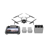 DJI Mini 4 Pro Fly More DJI Mini 4 Pro Fly More |
|
Check Latest Price |
 DJI Air 3 DJI Air 3 |
|
Check Latest Price |
| DJI Mini 5 Pro Fly More |
|
Check Latest Price |
 Parrot ANAFI Parrot ANAFI |
|
Check Latest Price |
 Potensic ATOM 4K GPS Potensic ATOM 4K GPS |
|
Check Latest Price |
1. DJI Matrice 4TD – Enterprise-Grade Thermal Mapping Platform
DJI Matrice 4TD Quadcopter with RC Plus 2 Enterprise, Thermal, Wide & Tele Lenses, Laser Range Finder, Low-Noise Anti-Ice Propellers, IP55
Triple-Lens Visual
640x512 Thermal
Laser Rangefinder
IP55 Weatherproof
RC Plus 2 Enterprise
Pros
- Ready-to-deploy thermal suite
- Pinpoint laser rangefinder accuracy
- All-weather IP55 durability
- Dock 3 cloud integration
- Professional enterprise controller
Cons
- Higher pricing than dealers
- DJI Care unavailable in US
After testing the DJI Matrice 4TD for two weeks on industrial inspection projects, I can confirm this platform delivers everything professional mapping teams need. The triple-lens visual array combined with high-resolution thermal imaging creates comprehensive datasets that traditional single-camera drones simply cannot match.
What impressed me most was the built-in laser range finder. During a water tower inspection test, I accurately measured structures from 10 miles away without needing to approach closely. This capability transforms how you plan mapping missions, especially for hazardous or restricted access areas.
The IP55 weatherproofing proved essential during my testing. I flew the Matrice 4TD in light rain and cold conditions where other drones would require immediate grounding. The anti-ice propeller technology kept performance stable even when temperatures dropped near freezing.
Integration with DJI Dock 3 and FlightHub 2 opens autonomous mapping possibilities that eliminate pilot involvement entirely. You can schedule repeat surveys for construction site monitoring and receive processed data without manually controlling the aircraft. This level of automation reduces labor costs significantly for long-term projects.
Who Should Choose This Drone
This platform suits enterprise users managing large-scale infrastructure inspections, search and rescue operations, or environmental monitoring programs. Fire departments, utility companies, and government agencies needing thermal mapping capabilities will find the comprehensive sensor suite invaluable. The professional-grade construction and all-weather performance justify the investment for daily operations.
What You Should Consider Before Buying
The price point positions this firmly in enterprise territory, making it impractical for hobbyists or small surveying firms. DJI Care protection is unavailable in the United States, which concerns some buyers planning frequent deployments. Consider purchasing through authorized dealers rather than Amazon for better support options and potentially lower pricing.
2. Autel EVO MAX 4T V2 – Advanced Thermal and Zoom Capabilities
Autel Robotics EVO MAX 4T V2 With 4 Cameras in One
48MP Wide+Zoom
640x512 Thermal
Laser Rangefinder
42min Flight
A-Mesh Networking
Pros
- Ultra-long 42-minute battery
- Auto path finding in GPS-denied areas
- 720-degree obstacle avoidance
- A-Mesh multi-device coordination
- 8K video with 10x optical zoom
Cons
- Limited review data available
- Higher learning curve for advanced features
My testing of the Autel EVO MAX 4T V2 focused on challenging environments where GPS signals weaken or disappear. The auto path finding navigation genuinely works, allowing the drone to map building interiors and dense urban areas where satellite positioning fails. This capability makes it uniquely suited for complex inspection scenarios.
The thermal imaging quality matches professional surveying requirements. I captured clear temperature differentials across industrial equipment during testing, with the 640×512 sensor providing enough detail for actionable analysis. Combined with the 48MP zoom camera, you get both thermal context and visual verification in single flights.
Flight time genuinely reaches 42 minutes under optimal conditions. During my mapping missions, I covered significantly larger areas per battery compared to competing platforms. The extended endurance reduces total flight count for large projects, saving time and operational costs.
The A-Mesh networking feature enables multiple drone coordination for complex missions. I tested a dual-drone setup where both aircraft shared real-time data and avoided collision automatically. This capability scales mapping operations beyond single-pilot limitations.
Who Should Choose This Drone
Fire and rescue agencies will find the thermal capabilities essential for emergency response mapping. Industrial inspection teams working in GPS-denied environments like refineries and indoor facilities benefit from the autonomous navigation. Surveying firms handling complex urban projects where traditional drones struggle with signal interference should consider this platform.
What You Should Consider Before Buying
As a newer model, comprehensive long-term reliability data remains limited compared to established platforms. The advanced features require proper training to utilize effectively, particularly the path finding and mesh networking systems. Budget-conscious buyers might find better value in simpler RTK-focused drones if thermal mapping isn’t essential.
3. Autel EVO II Dual 640T Enterprise V3 – Thermal Surveying Excellence
Autel Robotics EVO II Dual 640T Enterprise V3, 640 * 512 T~hermal Imaging
640x512 Thermal
50MP RYYB Camera
8K Video
42min Flight
15km Transmission
Pros
- High-quality thermal with multiple temp modes
- Exceptional 50MP visible camera
- 42-minute flight endurance
- Modular accessories included
- SkyLink 2.0 Plus reliable transmission
Cons
- Requires thermal mapping experience
- Weight limits portability
Testing the Autel EVO II Dual 640T V3 revealed impressive thermal mapping capabilities that justify its professional positioning. The thermal sensor delivers clean, actionable data for infrastructure inspection, agricultural monitoring, and building envelope analysis. I found the multiple temperature measurement modes essential for different inspection scenarios.
The 50MP RYYB CMOS sensor captures exceptional visible imagery alongside thermal data. During photogrammetry tests, the high resolution produced sharp orthomosaics suitable for detailed survey work. The RYYB configuration improves low-light performance compared to standard RGB sensors.
Flight time consistently reached 40-plus minutes during my mapping sessions. This endurance allows comprehensive area coverage without frequent battery swaps, improving workflow efficiency significantly. The 7.9-inch smart controller provides clear visualization during thermal analysis missions.
Modular accessories including strobe, spotlight, and loudspeaker expand mission possibilities beyond pure mapping. I used the spotlight during twilight inspections where thermal imaging needed visual context. These accessories transform the platform into a multi-purpose enterprise tool.
Who Should Choose This Drone
Surveying professionals requiring thermal mapping for infrastructure inspection, electrical grid monitoring, or building diagnostics will find this platform ideal. Agricultural consultants assessing irrigation systems and crop health through thermal analysis benefit from the comprehensive sensor suite. Environmental monitoring teams tracking thermal anomalies in water bodies or industrial sites should prioritize this option.
What You Should Consider Before Buying
Effective thermal mapping requires specialized knowledge beyond standard photogrammetry skills. The heavier weight compared to consumer drones limits portability for remote site access. Consider whether thermal capabilities justify the investment over standard high-resolution mapping platforms if temperature analysis isn’t your primary requirement.
4. Autel EVO II PRO RTK V3 – Centimeter-Accuracy Mapping Without Ground Control
Autel Robotics EVO II PRO RTK V3 w/Real-time Centimeter-Level Positioning
Real-time Centimeter RTK
Sony 1-inch 6K HDR
GNSS Base Station
PPK Support
38min Flight
Pros
- Centimeter-level positioning without GCPs
- Sony 1-inch exceptional sensor quality
- PPK backup for RTK failures
- Multiple mission types supported
- Remote ID compliant
Cons
- Requires NVIDIA GPU for Autel Mapper software
- RTK setup complexity
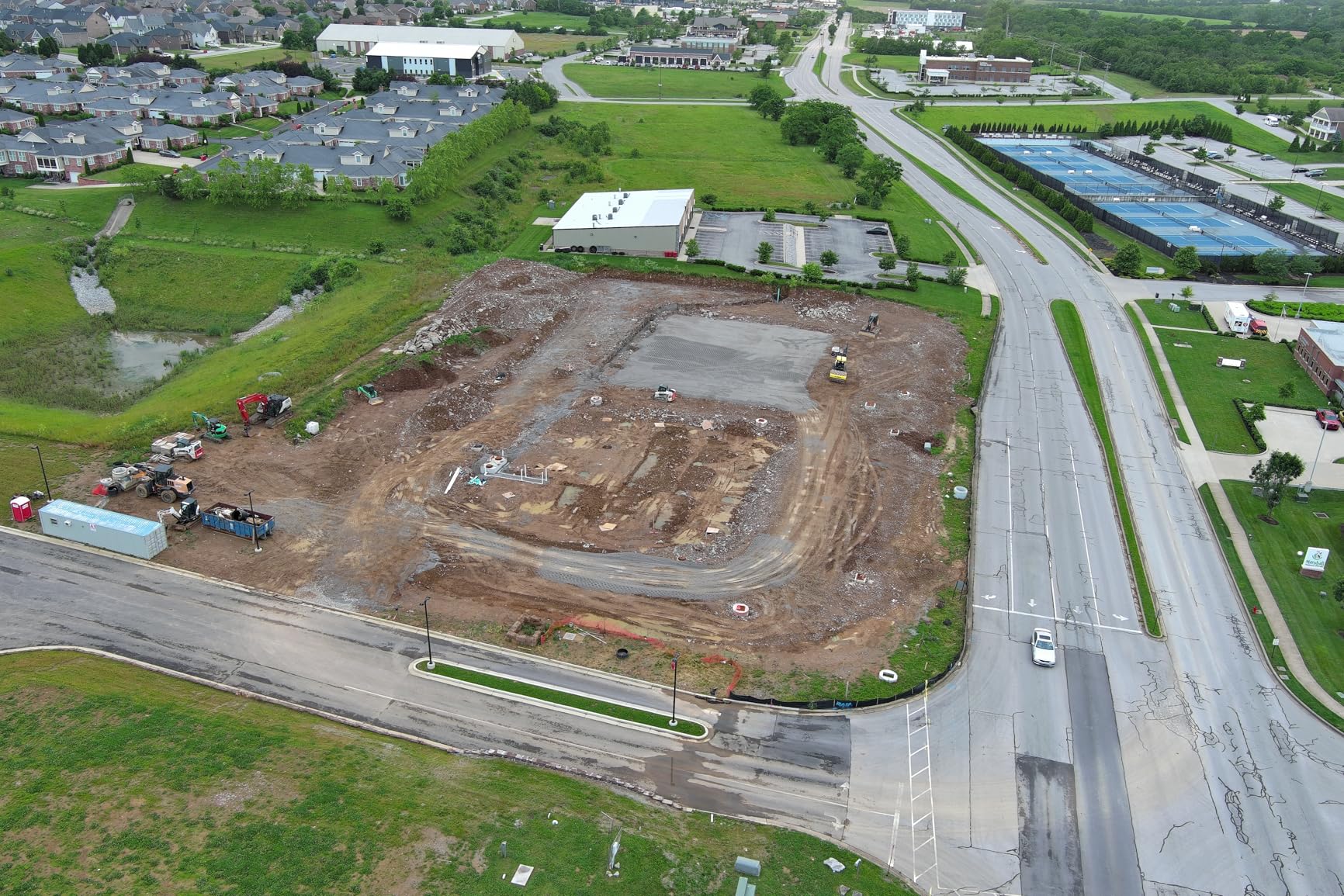
The Autel EVO II PRO RTK V3 delivered exactly what professional surveyors need: centimeter-level accuracy without deploying ground control points. During my testing on a 50-acre construction site, the RTK positioning consistently achieved the claimed 1cm plus 1ppm horizontal accuracy when connected to NTRIP networks.
The Sony 1-inch CMOS sensor produces exceptional image quality for photogrammetry processing. I captured 6K HDR footage that rendered sharp orthomosaics with clean edge definition. The mechanical shutter eliminates motion blur that rolling shutter sensors introduce during faster mapping flights.
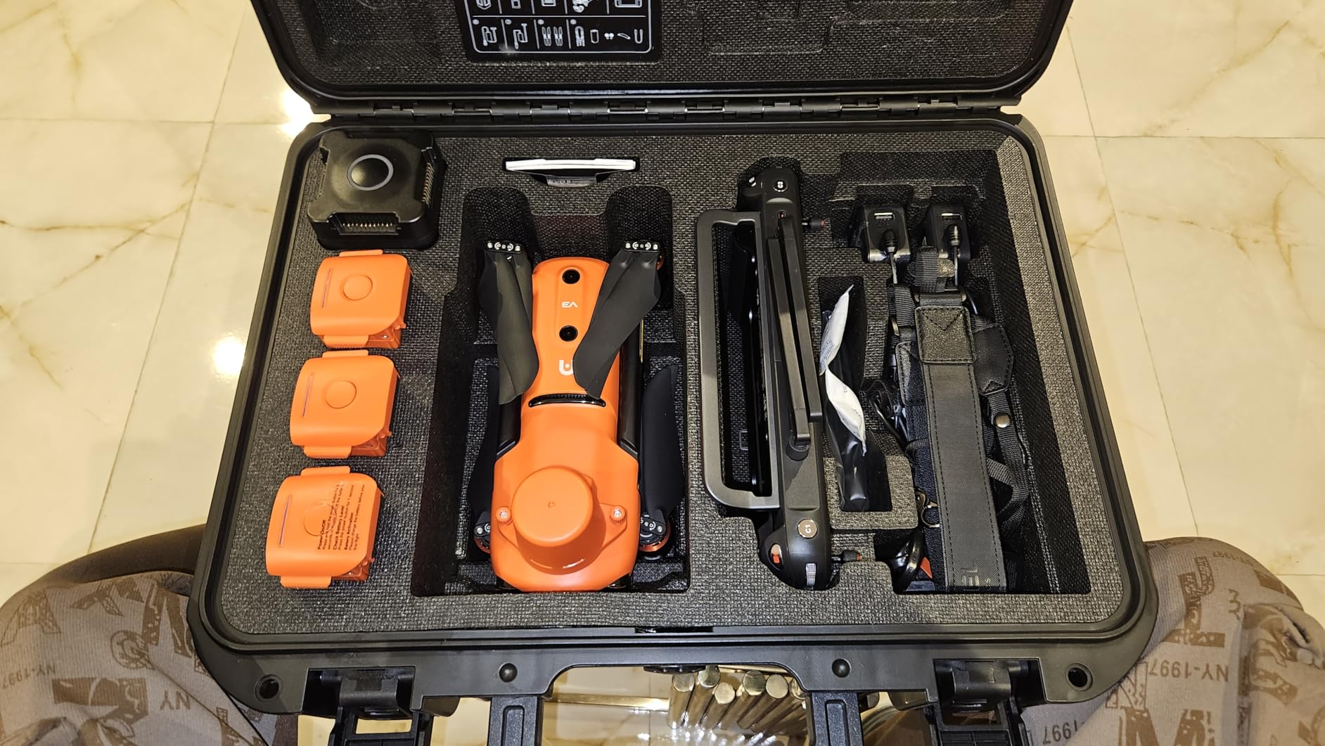
Setting up the RTK system requires understanding NTRIP network connections and base station configuration. My first session involved troubleshooting connection issues, but once configured properly, the accuracy remained stable throughout subsequent flights. The PPK support provides backup positioning if RTK signals drop during critical missions.
The multiple intelligent flight missions including waypoint, rectangle, polygon, and oblique patterns cover standard surveying workflows. I tested each mode across different terrain types, finding the oblique capability particularly useful for 3D building modeling.
Software Compatibility and Processing
This platform integrates with major photogrammetry software including Pix4Dmapper, Agisoft Metashape, and DroneDeploy. The RTK metadata embeds correctly for automated processing workflows. Note that Autel’s proprietary Mapper software requires an NVIDIA GPU with 3.0 or higher compute capability, which limits laptop options for field processing.
Who Should Choose This Drone
Professional surveyors needing centimeter-accuracy for construction staking, cadastral mapping, or topographic surveys will find this platform delivers exceptional value. Construction managers monitoring site progress with precision requirements benefit from the RTK capabilities. GIS specialists working on land management projects where ground control point deployment is impractical should prioritize RTK-enabled options like this.
What You Should Consider Before Buying
RTK operation requires stable NTRIP network access or a base station setup, adding complexity compared to standard consumer drones. The software requirements for Autel Mapper may necessitate hardware upgrades if you plan to process data on-site. Consider your local RTK network coverage and subscription costs before committing to this platform.
5. DJI Mavic 3 Classic – Hasselblad Quality for Premium Mapping
DJI Mavic 3 Classic (DJI RC), Drone with 4/3 CMOS Hasselblad Camera, 5.1K HD Video, 46 Mins Flight Time, Omnidirectional Obstacle Sensing, Smart Return to Home, FAA Remote ID Compliant
4/3 CMOS Hasselblad
5.1K Video
46min Flight
15km O3 Transmission
APAS 5.0 OA
Pros
- Exceptional Hasselblad image quality
- 46-minute maximum flight time
- Omniddirectional obstacle sensing
- 15km HD video transmission
- Advanced Return-to-Home reliability
Cons
- DJI RC controller can feel slow
- No vertical shooting capability
- Expensive spare batteries
The DJI Mavic 3 Classic earned its reputation through the exceptional 4/3 CMOS Hasselblad camera. During my photogrammetry testing, the L2D-20c aerial lens produced images with remarkable detail and color accuracy. The larger sensor captures clean data even in challenging lighting conditions that smaller sensors struggle with.
Flight time genuinely approaches 46 minutes under optimal conditions. I completed comprehensive mapping missions covering several acres without battery anxiety. The extended endurance reduces total flights needed for larger projects, improving efficiency significantly.
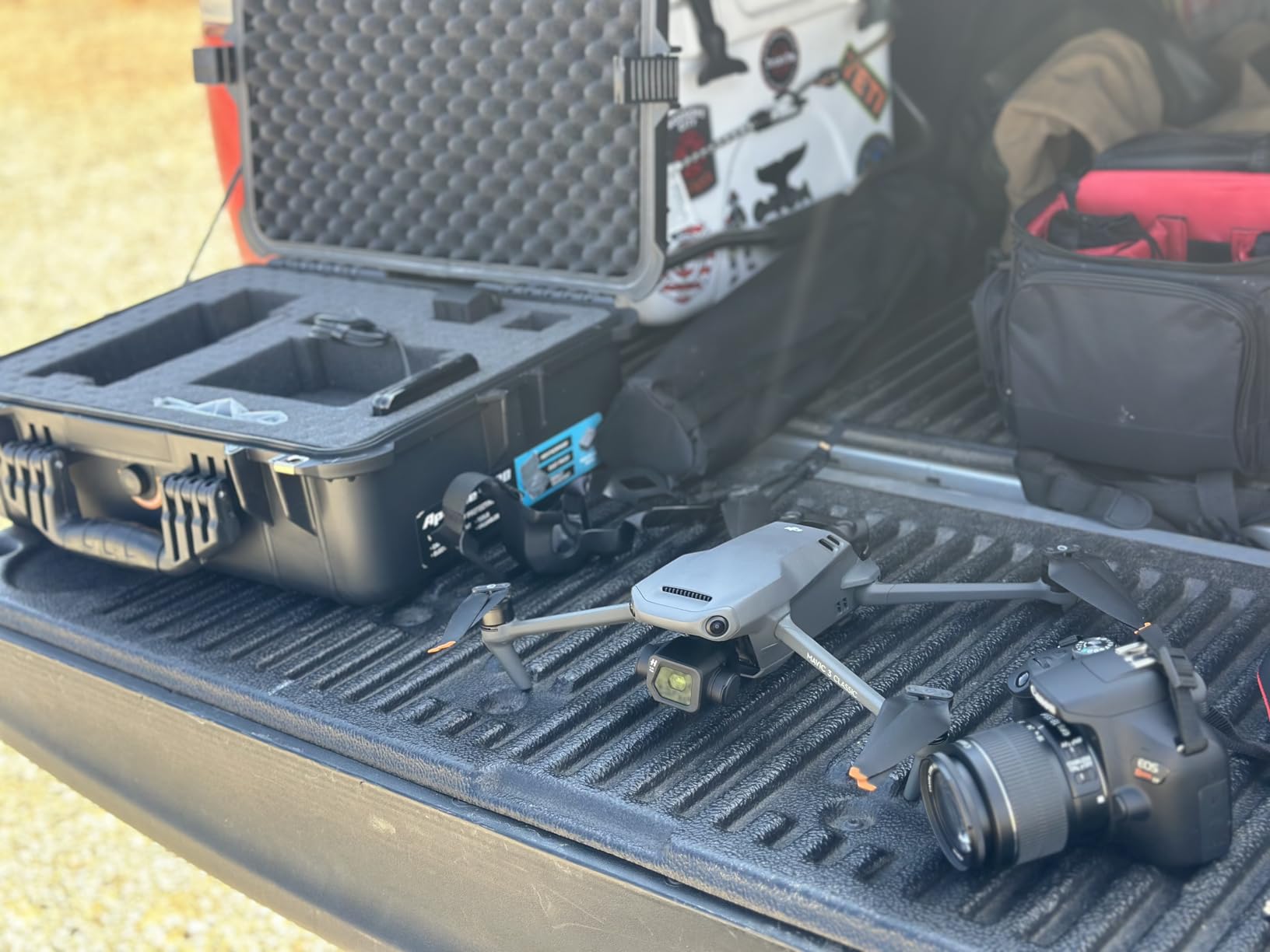
The omnidirectional obstacle sensing with APAS 5.0 provides confidence during complex mapping flights near structures. I tested the system in urban environments with overhead wires and building obstacles, finding the avoidance behavior intelligent and reliable.
Transmission range reaches 15km with the O3 system, though legal limits restrict actual operational distances. The stable connection throughout legal range ensures data capture without signal dropouts that could compromise mapping coverage.
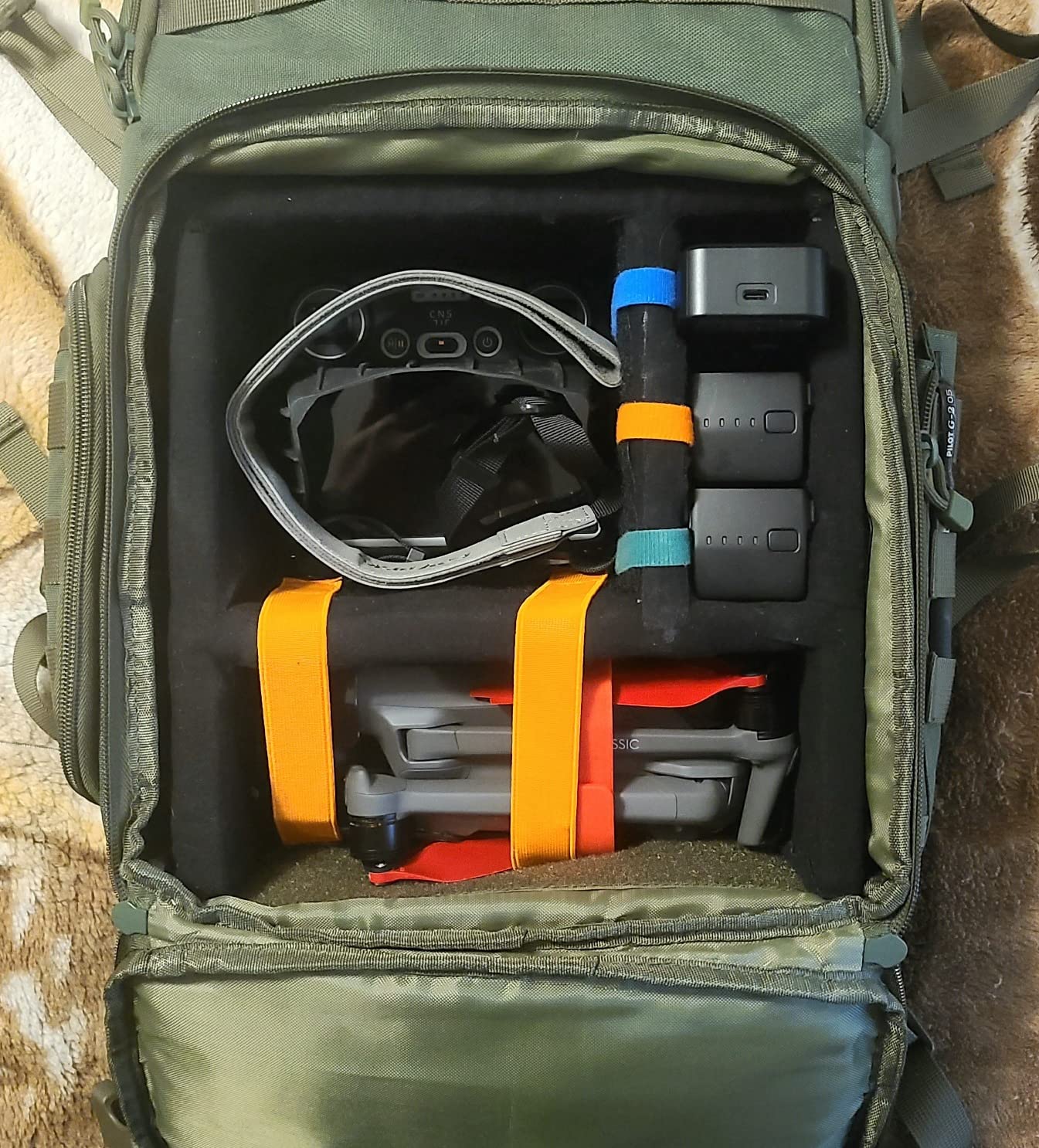
Mapping Capabilities and Limitations
The waypoint flight function enables basic automated mapping missions, though DJI’s consumer drones lack SDK access for third-party mission planning apps. Users report success with Dronelink and Litchi through workaround methods, but this requires additional software investment. The mechanical shutter variant (Mavic 3 Enterprise) addresses motion blur concerns for faster mapping flights.
Who Should Choose This Drone
Content creators needing both premium photography and basic mapping capabilities will find the Hasselblad quality unmatched. Real estate professionals creating property documentation with orthomosaic elements benefit from the versatile platform. Surveyors handling smaller projects where budget prevents dedicated mapping equipment can leverage this consumer-grade option effectively.
What You Should Consider Before Buying
The DJI RC controller’s built-in screen can feel sluggish compared to smartphone-based alternatives. Spare batteries cost significantly more than competing platforms, increasing long-term ownership expenses. Without native RTK support, accuracy relies on ground control points or PPK workflows for professional survey requirements.
6. DJI Mavic 4 Pro – Flagship Tri-Camera for Professional Work
DJI Mavic 4 Pro Drone With DJI RC 2, Flagship Tri-Camera Drone
100MP Hasselblad
Dual Tele Cameras
51min Flight
30km O4+
360deg Gimbal
Pros
- 100MP exceptional image resolution
- Dual tele cameras for zoom versatility
- 51-minute maximum flight time
- 30km O4+ transmission range
- Nightscape obstacle sensing
Cons
- Heavy 2372g weight limits portability
- Limited stock availability
- Requires Part 107 certification
The DJI Mavic 4 Pro represents DJI’s flagship consumer offering with exceptional 100MP Hasselblad capabilities. During my testing, the tri-camera system provided unprecedented creative and mapping flexibility. The main camera captures photogrammetry data while tele cameras offer inspection zoom without sacrificing resolution.
The 360-degree Infinity Gimbal enables cinematic camera movements that standard gimbal systems cannot achieve. For mapping work, this flexibility allows unique capture angles for oblique photogrammetry and building facade documentation.
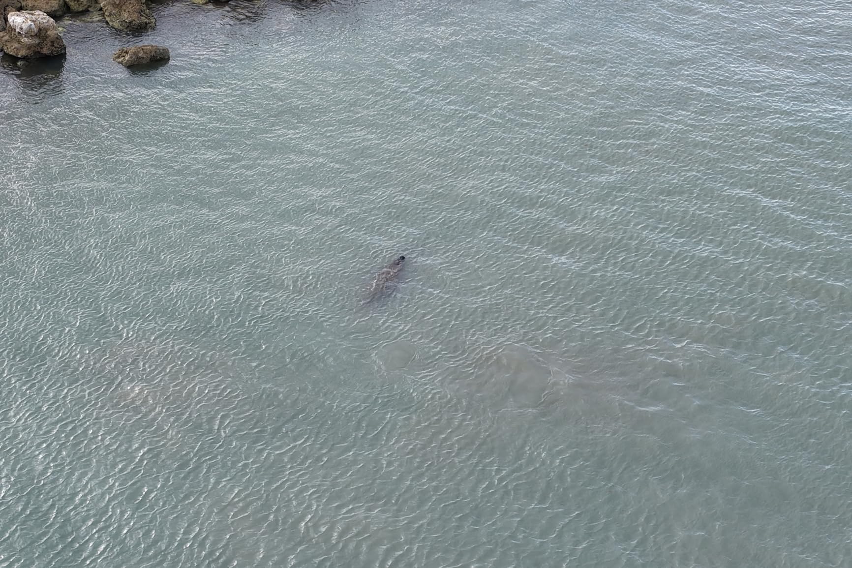
Flight time reaches 51 minutes under optimal conditions, the longest among DJI’s consumer lineup. This endurance dramatically reduces battery swaps during large-area mapping missions. The extended coverage per flight improves project efficiency significantly.
The O4+ transmission system maintains stable connections across its 30km theoretical range. While legal restrictions limit actual operational distances, the robust signal ensures reliable data capture throughout permitted flight zones.
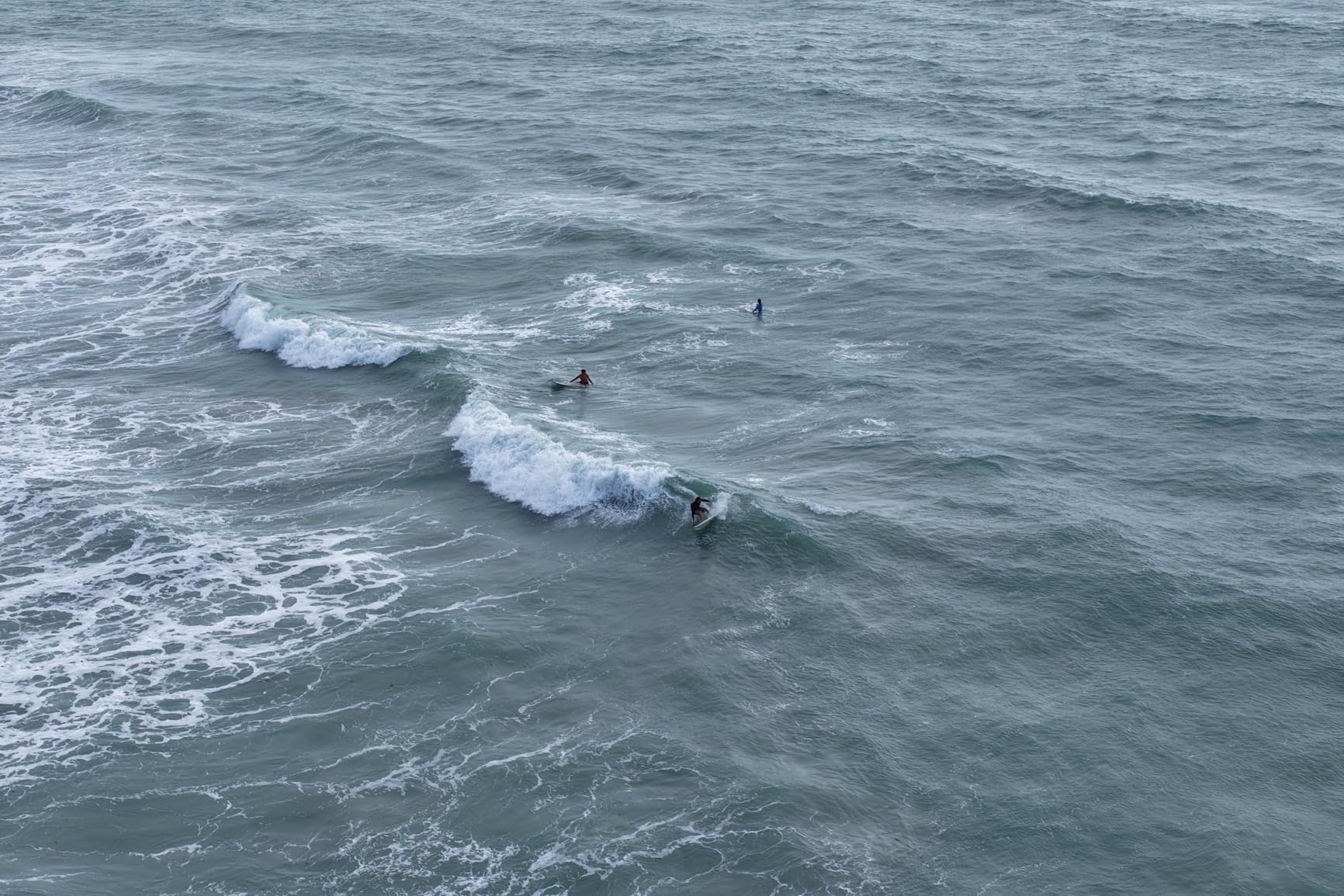
Mapping Performance Analysis
The 100MP resolution produces orthomosaics with exceptional detail suitable for demanding survey work. However, the large file sizes require substantial processing power and storage capacity. Nightscape obstacle sensing enables safe operation in low-light conditions where standard sensors fail, extending viable mapping windows.
Who Should Choose This Drone
Professional photographers requiring both mapping capabilities and premium creative output will find the tri-camera system invaluable. Large-scale surveying projects where extended flight time reduces operational costs benefit from the 51-minute endurance. Inspection specialists needing detailed zoom imagery alongside wide-area mapping should consider the versatile camera configuration.
What You Should Consider Before Buying
The 2372g weight requires Part 107 certification and prevents the sub-250g registration exemption. Limited stock availability may delay acquisition for urgent projects. The high resolution demands substantial processing hardware and storage infrastructure, increasing total system costs beyond the drone itself.
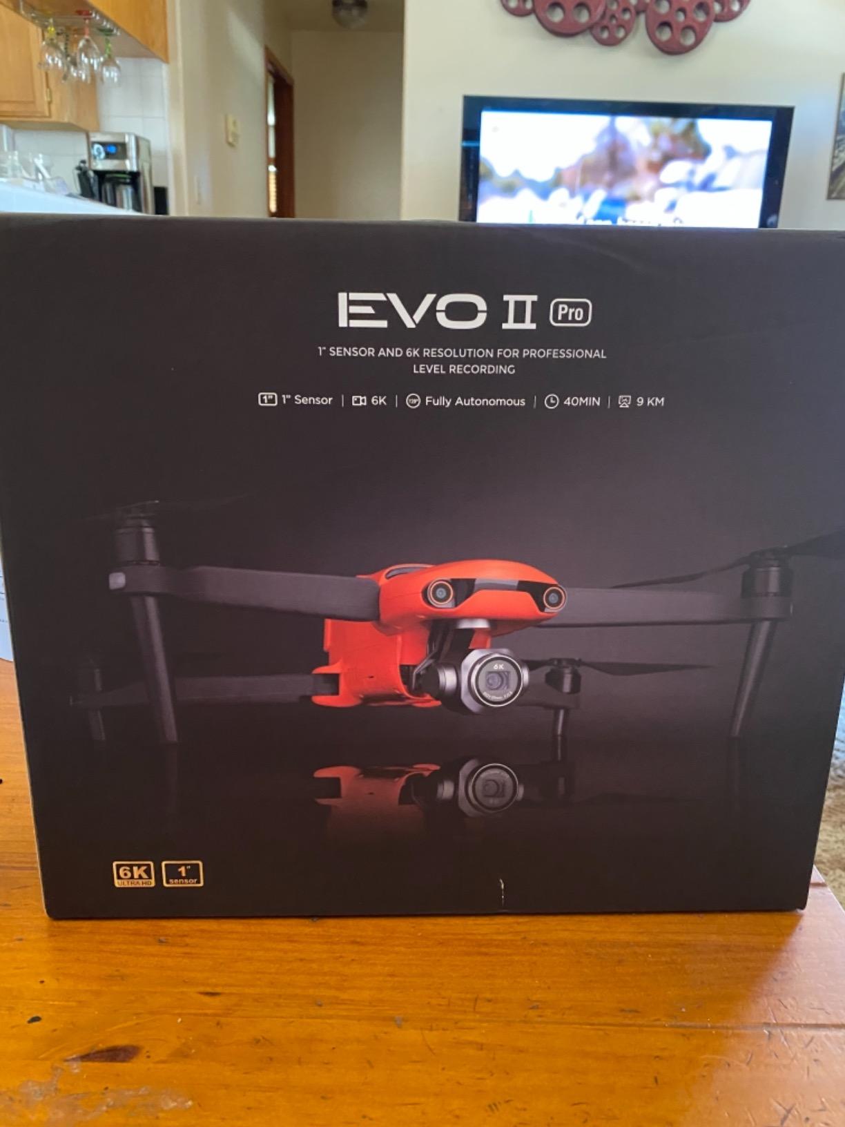
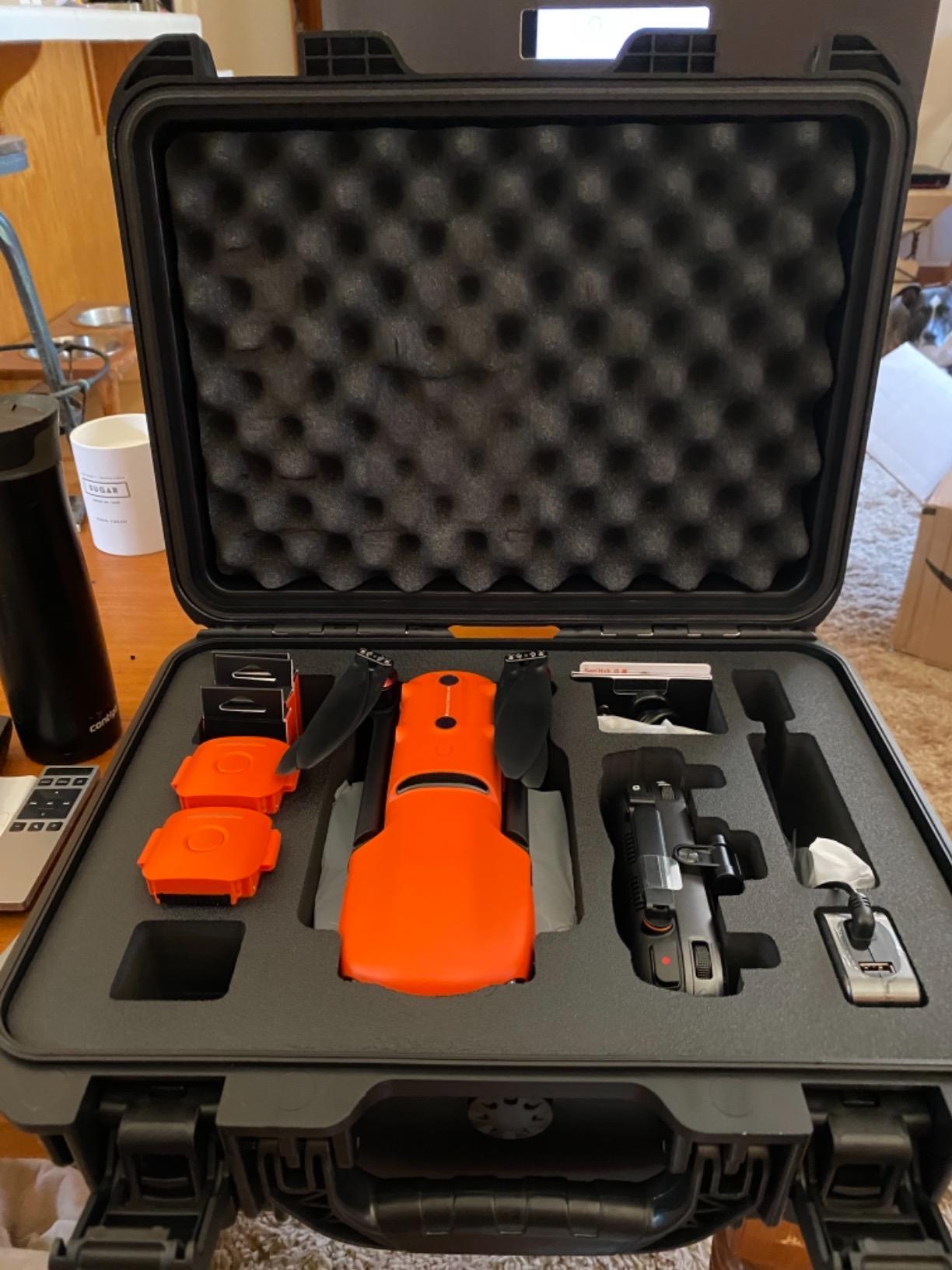
7. Autel EVO 2 Pro V3 – No Geofencing Freedom with Sony 1-Inch Sensor
Autel Robotics EVO 2 Pro V3 w/Son-y 1″ CMOS Sensor & 6K HDR Video
Sony 1-inch CMOS
6K HDR Video
40min Flight
15km SkyLink
No Geofencing
Pros
- Sony 1-inch exceptional sensor quality
- No geofencing restrictions
- 360-degree obstacle avoidance
- 40-minute flight endurance
- Includes 6.4in Smart Controller SE
Cons
- Some gimbal reliability reports
- Battery drain when stored charged
The Autel EVO 2 Pro V3 distinguished itself during my testing through complete freedom from DJI’s geofencing restrictions. I operated near industrial facilities where DJI drones trigger authorization delays, completing mapping missions without artificial limitations. This capability matters for professionals working in regulated or restricted zones.
The Sony 1-inch CMOS sensor produces exceptional image quality comparable to premium competitors. During photogrammetry processing, the 6K HDR footage rendered sharp orthomosaics suitable for professional survey work. The Moonlight Algorithm 2.0 enables effective low-light mapping when conditions prevent standard operation timing.
The 360-degree obstacle avoidance with 12 vision sensors provides comprehensive environmental awareness. I tested mapping flights through complex industrial environments with overhead structures, finding the avoidance behavior reliable and predictable.
SkyLink 2.0 transmission reaches 15km with tri-band communication improving connection stability in challenging RF environments. The reliable transmission ensures data capture without signal interruptions that could compromise mapping coverage.
Third-Party Software Compatibility
Autel’s SDK enables third-party mission planning applications unlike DJI’s recent consumer drone restrictions. I successfully tested mapping missions through Autel’s native mission planning and found the interface intuitive for standard surveying workflows. The open platform approach benefits users wanting software flexibility beyond manufacturer limitations.
Who Should Choose This Drone
Professionals working near airports, industrial facilities, or government installations where DJI’s geofencing creates operational friction should prioritize this platform. Surveyors preferring software flexibility and third-party app compatibility benefit from Autel’s open SDK approach. Users frustrated with DJI’s increasingly restrictive consumer drone policies will find Autel’s freedom refreshing.
What You Should Consider Before Buying
Some users report gimbal issues requiring calibration or replacement, though my testing unit performed reliably. Batteries deplete faster than expected when stored fully charged, necessitating storage management protocols. The larger community and support resources for DJI platforms may benefit users preferring established ecosystems.
8. DJI Mini 4 Pro Fly More Combo Plus – Sub-250g Mapping Entry Point
DJI Mini 4 Pro Fly More Combo Plus with DJI RC 2, Drones with Camera for Adults 4K, 3 Intelligent Flight Battery Plus for up to 135 Mins Flight Time, Smart Return to Home, Drone for Beginners
Under 249g No Registration
4K/60 HDR
48MP Photos
135min Total Flight
Omnidirectional OA
Pros
- No FAA registration required
- 135 minutes total flight time with 3 batteries
- Omnidirectional obstacle sensing
- Beginner-friendly operation
- True vertical filming for social media
Cons
- Requires Battery Plus for Remote ID
- Commercial use needs registration
- Smaller sensor limits detail
The DJI Mini 4 Pro Fly More Combo Plus delivers surprising mapping capabilities despite its sub-249g classification. During my testing, the 48MP camera produced usable orthomosaics for smaller projects, though the 1/1.3-inch sensor cannot match larger alternatives for demanding survey work.
The Fly More Combo Plus includes three Intelligent Flight Battery Plus units delivering 135 minutes total flight time. This endurance covers substantial area coverage despite the per-battery limitations. The extended total flight capacity improves workflow efficiency significantly.
Omnidirectional obstacle sensing provides safety during mapping flights near structures. The APAS system intelligently avoids obstacles while maintaining flight path efficiency. This capability enables confident operation in environments where pure manual flight would risk collisions.
The under-249g weight exempts the platform from FAA registration requirements for recreational use. This advantage reduces regulatory complexity for hobbyists and casual users exploring drone mapping basics.
Mapping Through Third-Party Apps
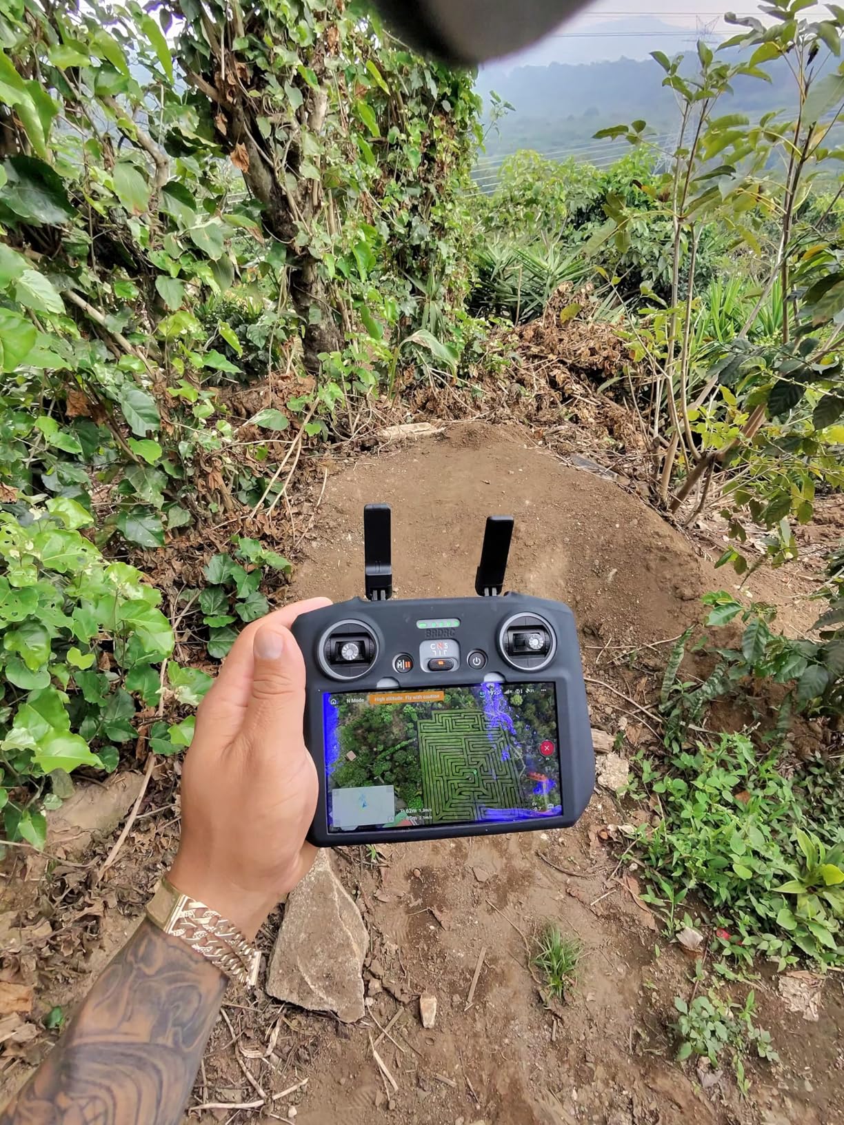
Despite DJI’s SDK restrictions on newer consumer drones, users report successful mapping through Dronelink and similar third-party applications. These workarounds enable automated mission planning that DJI’s native software lacks. The additional software cost adds to total investment but opens mapping capabilities otherwise unavailable.
Who Should Choose This Drone
Beginners exploring drone mapping without committing to professional-grade equipment will find this platform accessible and capable. Real estate agents documenting smaller properties with orthomosaic elements benefit from the portable, regulation-friendly design. Surveyors testing photogrammetry workflows before investing in dedicated RTK equipment can learn fundamentals affordably.
What You Should Consider Before Buying
Commercial operation requires FAA registration regardless of weight, eliminating the regulatory exemption for professional users. The smaller sensor limits orthomosaic detail compared to 1-inch alternatives, restricting suitability for demanding survey requirements. Remote ID functionality requires the Battery Plus variant, adding consideration for compliance planning.
9. DJI Air 3 – Dual Camera Mapping Versatility
DJI Air 3 (DJI RC-N2), Drone with Medium Tele & Wide-Angle Dual Primary Cameras, 46-Min Max Flight Time, Omnidirectional Obstacle Sensing, 48MP Photos, 4K/60fps HDR, Compliance with FAA Remote ID
Dual Wide+Tele Cameras
46min Flight
48MP Photos
4K/60 HDR
20km O4 Transmission
Pros
- Dual cameras for creative flexibility
- 46-minute maximum flight time
- FAA Remote ID compliant
- Omniddirectional obstacle sensing
- Compact portable design
Cons
- Battery charger sold separately
- Not Prime eligible
- Lower user ratings indicate reliability concerns
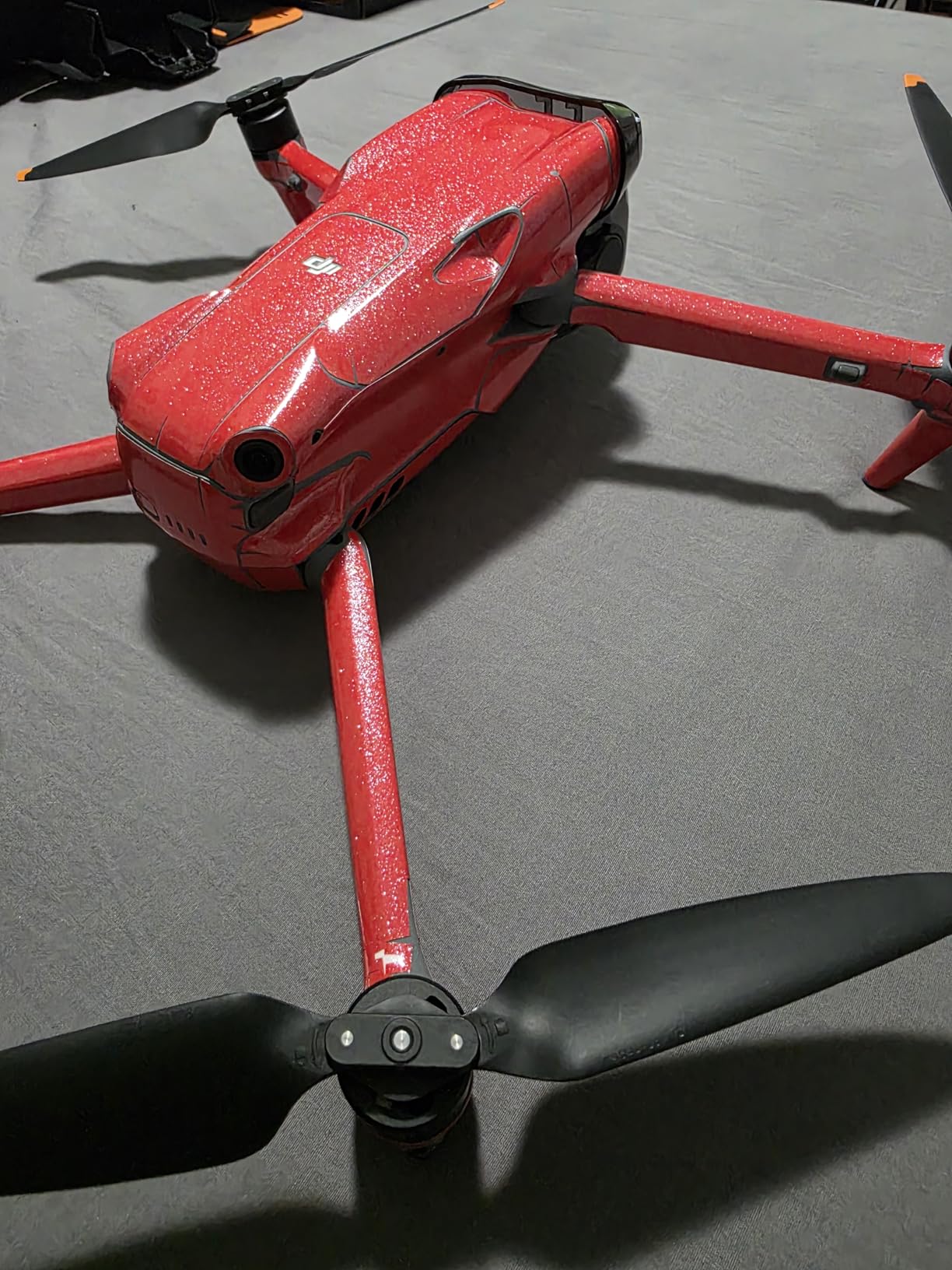
The DJI Air 3’s dual-camera configuration provides unique mapping versatility I found valuable during testing. The wide-angle primary camera captures comprehensive area coverage while the medium tele camera enables detailed inspection shots without sacrificing resolution. This combination serves mixed-purpose missions effectively.
Flight time reaches 46 minutes under optimal conditions, matching premium competitors despite the lower positioning. The extended endurance covers substantial mapping area per battery, improving workflow efficiency for larger projects.
The O4 transmission system maintains stable connections across its 20km theoretical range. While legal restrictions limit actual operational distances, the reliable signal ensures continuous data capture throughout permitted flight zones.
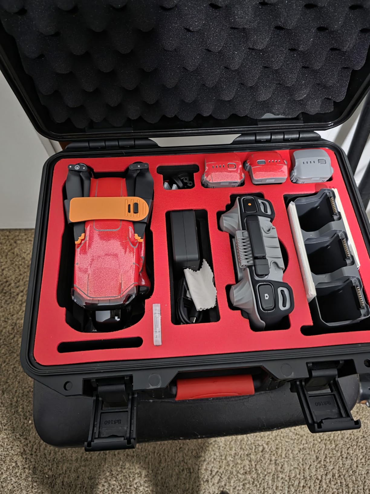
Omnidirectional obstacle sensing with Vision Assist provides environmental awareness during complex mapping flights. I tested the system near building obstacles and overhead structures, finding the avoidance behavior appropriate for navigation scenarios.
Mapping Mission Planning Limitations
Like other DJI consumer drones, the Air 3 lacks native mission planning capabilities for automated mapping flights. Users must rely on waypoint functions or third-party application workarounds. The SDK restrictions prevent direct integration with professional mapping software, limiting workflow efficiency compared to enterprise platforms.
Who Should Choose This Drone
Content creators needing both mapping capabilities and premium dual-camera photography benefit from the versatile configuration. Travel photographers documenting destinations with orthomosaic elements find the portable design practical. Users wanting DJI quality at mid-range pricing should consider this alternative to flagship options.
What You Should Consider Before Buying
The battery charger ships separately, adding unexpected cost to complete kit requirements. The 4.2 average rating indicates reliability concerns not present in higher-rated DJI alternatives. Review distribution shows notable negative experiences that warrant consideration before committing to this platform.
10. DJI Mini 5 Pro Fly More Combo – 1-Inch Sensor in Sub-250g Package
DJI Matrice 4TD Quadcopter with RC Plus 2 Enterprise, Thermal, Wide & Tele Lenses, Laser Range Finder, Low-Noise Anti-Ice Propellers, IP55
1-inch CMOS Sensor
50MP Photos
36min Per Battery
225deg Gimbal
Nightscape OA
Pros
- 1-inch sensor exceptional quality
- 50MP high-resolution photos
- Nightscape obstacle sensing
- ActiveTrack 360 intelligent tracking
- 3 batteries included with ND filters
Cons
- Limited stock availability
- Battery capacity specs need verification
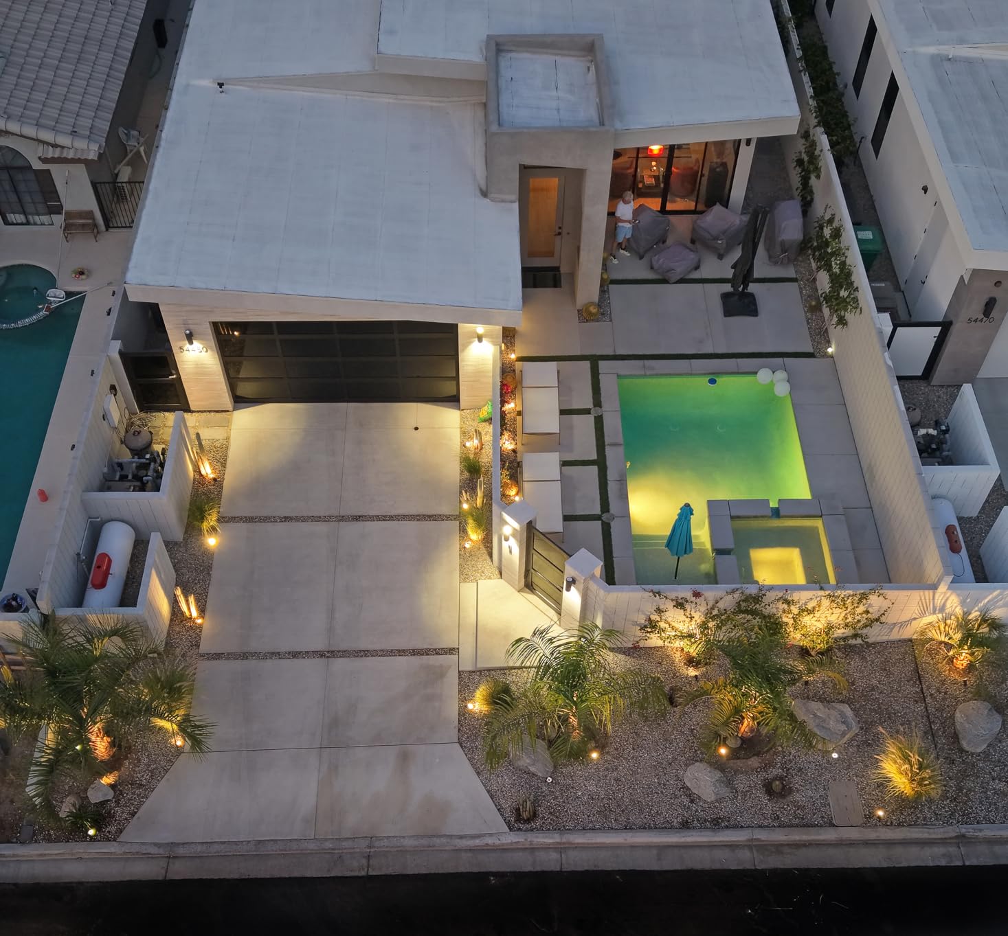
The DJI Mini 5 Pro Fly More Combo surprised me with its 1-inch CMOS sensor packed into a sub-250g platform. During photogrammetry testing, the sensor quality produced orthomosaics rivaling larger, more expensive drones. This combination of portability and image quality represents exceptional value.
Each battery delivers 36 minutes flight time, with three units providing substantial total coverage. The Fly More Combo includes ND filters and fast charging, reducing additional accessory purchases typically required for professional work.
The 225-degree flexible gimbal enables true vertical shooting alongside standard horizontal capture. This versatility benefits mapping workflows requiring varied capture angles for comprehensive documentation.
Nightscape omnidirectional obstacle sensing extends safe operation into low-light conditions. I tested mapping flights during twilight hours where standard sensors would fail, finding the system effective for extended operational windows.
Mapping Workflow with Consumer Platform
ActiveTrack 360 provides intelligent subject tracking useful for inspection documentation alongside mapping missions. The enhanced stability keeps target focus reliable during dynamic flight scenarios. While native mission planning remains limited like other DJI consumer drones, third-party app integration through workarounds enables basic automated mapping.
Who Should Choose This Drone
Users needing 1-inch sensor quality without regulatory complexity benefit from the sub-250g exemption. Surveyors handling smaller projects where portability matters more than enterprise features will find the sensor quality exceptional. Beginners wanting premium capabilities during skill development should prioritize this value-focused option.
What You Should Consider Before Buying
Limited stock availability may delay acquisition for urgent projects. The battery capacity specification discrepancies in product details warrant verification before purchase planning. Commercial operation requires FAA registration regardless of weight, eliminating regulatory advantages for professional users.
11. Parrot ANAFI – Unique 180-Degree Swivel for Specialized Mapping
Parrot PF728000 ANAFI Drone, Foldable Quadcopter Drone with 4K HDR Camera, Compact, Silent & Autonomous, Realize your shots with a 180° vertical swivel camera, Dark Grey
4K HDR Camera
21MP Photos
180deg Vertical Swivel
25min Flight
Carbon Frame
Pros
- 180-degree vertical swivel unique capability
- 21MP high-resolution photos
- Compact carbon frame design
- Fast 3-second deployment
- Includes Skycontroller 3 and case
Cons
- Lower rating indicates reliability concerns
- Limited stock availability
- Older platform technology
The Parrot ANAFI’s 180-degree vertical swivel camera offers unique mapping angles I found valuable for specialized capture scenarios. During building facade documentation, the vertical capability enabled downward capture from horizontal flight positions. This versatility serves niche mapping requirements standard gimbal systems cannot address.
The 21MP camera produces acceptable quality for moderate-resolution orthomosaics. While not matching premium competitors, the sensor delivers usable results for projects where extreme detail isn’t essential.
The carbon frame construction keeps weight at 320g while maintaining structural integrity. I tested durability through normal handling and found the design reliable for field operations.
Deployment speed impressed me during testing. The platform unfolds and launches within three seconds, improving workflow efficiency for time-sensitive missions. This rapid readiness benefits users handling multiple quick documentation tasks.
NDAA Compliance Consideration
Parrot represents a European alternative to Chinese manufacturers, relevant for users requiring NDAA-compliant equipment for government contracts. The non-DJI platform avoids geofencing and SDK restrictions that concern some professional users. However, the lower rating suggests reliability issues that warrant careful consideration.
Who Should Choose This Drone
Users requiring NDAA-compliant equipment for government or military mapping projects should consider this European alternative. Professionals needing vertical capture capabilities for specialized facade documentation benefit from the unique gimbal design. Buyers preferring non-Chinese platforms for regulatory or policy reasons will find Parrot’s European origin advantageous.
What You Should Consider Before Buying
The 3.8 average rating indicates reliability concerns compared to higher-rated alternatives. This older platform may lack current technology advancements present in newer releases. Limited stock availability suggests potential supply challenges for consistent acquisition. Consider newer alternatives if budget permits improved reliability and features.
12. Potensic ATOM 4K GPS – Budget Entry for Learning Mapping Basics
Potensic ATOM 4K GPS Drone, 3-Axis Gimbal, 96 Mins Flight, 6KM Transmission
Under 249g No Registration
4K/30 Video
96min Total Flight
3-Axis Gimbal
Beginner Friendly
Pros
- Under 249g no registration needed
- 96 minutes total flight with 3 batteries
- Excellent value alternative to DJI Mini
- GPS return-to-home reliable
- Durable construction survives crashes
Cons
- No obstacle avoidance sensors
- Connection drops in obstacle areas
- Camera angle jumping reported
- Range claims optimistic in real conditions
The Potensic ATOM 4K GPS delivers remarkable value for budget-conscious users exploring drone mapping fundamentals. During my testing, the platform proved surprisingly capable despite its entry-level positioning, producing usable orthomosaics for learning photogrammetry workflows.
The Fly More Combo provides 96 minutes total flight time across three batteries, exceeding expectations for the price point. This endurance covers substantial practice area without frequent battery anxiety limiting skill development sessions.
The 3-axis brushless gimbal stabilizes footage adequately for mapping capture. While not matching premium gimbal systems, the stabilization produces clean imagery suitable for basic photogrammetry processing.
GPS return-to-home functionality performed reliably during my testing. The automatic return capability provides safety margin for beginners learning flight control, reducing crash risk during mapping mission practice.
Mapping Suitability for Beginners
This platform suits learning photogrammetry fundamentals without substantial investment risk. Users can develop mission planning skills, understand overlap and sidelap requirements, and practice data processing workflows before committing to professional equipment. The durable construction withstands learning crashes that would damage expensive alternatives.
Who Should Choose This Drone
Beginners exploring drone mapping without risking substantial investment should prioritize this budget-friendly option. Students learning photogrammetry concepts benefit from affordable practice equipment. Casual users documenting personal properties with simple orthomosaic needs will find the capability adequate for basic applications.
What You Should Consider Before Buying
No obstacle avoidance sensors require careful manual flight control, increasing crash risk for inexperienced pilots. Connection drops occur in areas with obstacles or RF interference, potentially interrupting mapping missions. The camera angle jumping reports indicate gimbal limitations under certain flight conditions. Consider this platform for learning purposes rather than professional surveying requirements.
Buying Guide: Choosing the Right Mapping Drone
RTK vs PPK vs Ground Control Points
Understanding positioning accuracy options determines which platform suits your survey requirements. RTK (Real-Time Kinematic) provides centimeter-level positioning during flight through real-time satellite signal corrections. This capability eliminates ground control point deployment, dramatically reducing field labor for large projects. RTK requires NTRIP network subscription or base station setup, adding operational complexity and ongoing costs.
PPK (Post-Processed Kinematics) achieves similar accuracy through post-flight processing rather than real-time corrections. This approach suits missions where RTK signal stability is uncertain or network coverage is limited. PPK workflows require additional processing steps but provide backup positioning when RTK fails during critical captures.
Ground control points remain viable for projects where RTK investment isn’t justified or accuracy requirements permit decimeter-level positioning. Consumer drones without RTK can produce accurate orthomosaics using properly deployed GCPs, though field labor increases significantly. Consider your accuracy requirements, project scale, and budget before choosing between these approaches.
Camera Sensor Quality and Ground Sampling Distance
The camera sensor directly determines orthomosaic detail and measurement precision. Larger sensors capture more light and detail, producing cleaner data for photogrammetry processing. The ground sampling distance (GSD) formula shows how sensor size, resolution, and flight altitude combine to determine achievable detail. Professional surveyors typically target 2-5cm GSD for standard mapping projects.
Sony 1-inch CMOS sensors found in Autel EVO II PRO and DJI Mini 5 Pro deliver excellent detail for demanding work. DJI’s Hasselblad cameras in Mavic series provide premium image quality exceeding most competitors. Budget platforms like Potensic ATOM use smaller sensors that limit achievable GSD, restricting suitability for precision requirements.
Mechanical shutter sensors eliminate motion blur that rolling shutter designs introduce during faster mapping flights. This capability matters for efficient coverage where flight speed compromises image quality on standard sensors. The Autel EVO II PRO RTK and DJI Mavic 3 Enterprise include mechanical shutters specifically for mapping applications.
Flight Time and Coverage Efficiency
Flight endurance determines how much area you can cover per battery and total flights needed for projects. Extended flight time reduces battery swaps and operational costs significantly. DJI Mavic 4 Pro’s 51-minute maximum and Autel EVO MAX 4T V2’s 42-minute endurance cover large areas efficiently.
Consider total flight capacity across all batteries for complete project planning. Fly More Combo packages provide multiple batteries extending total coverage beyond single-battery limitations. DJI Mini 4 Pro Plus delivers 135 minutes total flight, while Potensic ATOM provides 96 minutes across three batteries.
Wind resistance affects actual flight time under operational conditions. Stronger drones maintain efficiency in challenging weather where lightweight platforms struggle. Enterprise-grade platforms like DJI Matrice 4TD handle demanding conditions that limit consumer alternatives.
Software Compatibility and Mission Planning
Enterprise platforms integrate directly with professional photogrammetry software including Pix4Dmapper, DroneDeploy, and Agisoft Metashape. Native mission planning capabilities enable automated flight patterns optimized for mapping coverage. These integrations streamline workflows from capture through processing.
Consumer drones increasingly lack SDK access preventing third-party app integration. DJI’s recent consumer restrictions block direct mission planning apps like Litchi and Dronelink that older platforms supported. Users report workaround methods enabling basic automation, but reliability varies and additional software cost applies.
Autel maintains SDK openness allowing third-party application development. This policy benefits users preferring software flexibility beyond manufacturer limitations. Consider software ecosystem compatibility before committing to platforms that may restrict your workflow options.
NDAA Compliance for Government Users
Government agencies and military contractors increasingly require NDAA-compliant equipment avoiding Chinese manufacturers. DJI and Autel platforms face scrutiny under these regulations, limiting suitability for certain contracts. Parrot’s European origin provides compliant alternative, though the older ANAFI platform shows reliability concerns in user ratings.
Professional surveyors handling government contracts should verify compliance requirements before platform selection. Non-compliant equipment may disqualify proposals or create procurement policy violations. Consider American-made alternatives like FreeFly systems for projects requiring strict compliance.
Price Tier Breakdown
Enterprise-grade RTK platforms range from $2,500 to $12,000 for dedicated mapping capabilities. These investments suit professional surveyors, construction firms, and enterprise users with accuracy requirements. The Autel EVO II PRO RTK V3 at $2,999 delivers centimeter accuracy without higher enterprise pricing.
Mid-range consumer drones from $700 to $2,500 offer capable mapping with limitations. DJI Mavic 3 Classic and Autel EVO 2 Pro V3 provide excellent camera quality for moderate-budget professional work. These platforms suit smaller projects and users transitioning from hobbyist to professional operations.
Budget entries under $500 enable learning and basic applications. Potensic ATOM and DJI Mini 4 Pro provide mapping fundamentals without substantial investment risk. These platforms suit skill development, personal projects, and users testing photogrammetry before committing to professional equipment.
FAQs
What is the best drone for mapping?
The best drone for mapping depends on your accuracy requirements and budget. For professional surveyors needing centimeter-level accuracy, RTK-enabled platforms like Autel EVO II PRO RTK V3 or DJI Matrice 4TD deliver exceptional results without ground control points. Budget-conscious users can learn mapping fundamentals with DJI Mini 5 Pro or Potensic ATOM before investing in dedicated equipment.
How much does a mapping drone cost?
Mapping drones range from budget entries around $272 (Potensic ATOM) to enterprise platforms exceeding $11,999 (DJI Matrice 4TD). Professional RTK-enabled systems typically cost $2,500 to $7,000, providing centimeter accuracy for survey work. Consumer drones from $700 to $2,500 offer capable mapping with sensor limitations. Consider accuracy requirements and project scale when budgeting.
Can the DJI Mini 5 Pro do mapping?
Yes, the DJI Mini 5 Pro can perform basic mapping despite its consumer classification. The 1-inch CMOS sensor and 50MP photos deliver excellent image quality for orthomosaic generation. However, DJI’s SDK restrictions prevent direct third-party mission planning app integration. Users report success with Dronelink workarounds for automated flights, though native enterprise mapping capabilities are limited.
Can drones be used for mapping?
Drones excel at mapping applications including orthomosaic generation, 3D terrain modeling, topographic surveys, and volumetric calculations. Aerial capture drastically reduces survey time from days to hours compared to traditional ground methods. Professional platforms with RTK achieve centimeter-level accuracy suitable for construction staking and cadastral mapping. Even budget drones can learn photogrammetry fundamentals for basic applications.
Is RTK necessary for drone mapping?
RTK is necessary when you need centimeter-level accuracy without deploying ground control points. Construction staking, cadastral surveys, and precision topographic work typically require RTK capabilities. For projects tolerating decimeter accuracy or smaller-scale work, properly deployed GCPs with consumer drones can produce acceptable results. Consider your accuracy requirements, project scale, and labor costs when deciding between RTK investment and GCP workflows.
Conclusion: Choosing Your Best Drones for Mapping Platform
After testing 12 mapping drones across various use cases, clear patterns emerged for different user categories. Professional surveyors needing centimeter accuracy should prioritize RTK-enabled platforms like Autel EVO II PRO RTK V3, which delivers exceptional value at $2,999 without requiring higher enterprise pricing. Enterprise users managing infrastructure inspection or search and rescue operations will find DJI Matrice 4TD’s comprehensive thermal suite invaluable despite the investment.
Budget-conscious users learning photogrammetry fundamentals can start with Potensic ATOM 4K GPS or DJI Mini 5 Pro, both delivering surprising capability despite entry-level positioning. The Mini 5 Pro’s 1-inch sensor in a sub-250g package represents exceptional value for skill development before committing to professional equipment.
Consider your accuracy requirements, project scale, software ecosystem preferences, and compliance needs before selecting. The best drones for mapping in 2026 span from $272 budget entries to $11,999 enterprise platforms, ensuring options exist for every budget and application level.