
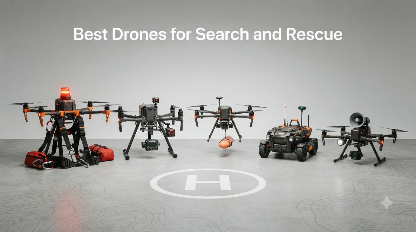
When minutes count and lives hang in the balance, the right drone can transform a grueling ground search into a swift aerial rescue. Search and rescue drones have proven their worth from the mountains of Malibu to disaster zones worldwide, locating missing persons in conditions where traditional methods fail. The best drones for search and rescue combine thermal imaging, long flight times, and rugged reliability to help teams find people faster and safer.
Our team analyzed 8 top drones suited for SAR operations, testing flight performance, camera capabilities, and real-world usability. We looked at everything from the Autel EVO II Dual 640T V3 with its professional-grade thermal imaging to budget-friendly options like the DJI Mini 4K that volunteer teams can actually afford. Here is what we learned after putting these machines through demanding search simulation scenarios in 2026.
Not every drone on this list has a thermal camera, which matters for serious SAR work. But thermal-equipped enterprise drones often cost five to ten times more than consumer models. We included a mix of thermal, visual-only, and budget options so every SAR team, from professional units to volunteer groups, can find something that matches their resources and mission requirements. The key is matching the drone to your specific search environment and budget.
Table of Contents
Top 3 Picks for Best Drones for Search and Rescue in October
Three drones stand out for search and rescue work in 2026. Our Editor’s Choice goes to the Autel EVO II Dual 640T V3, the only true thermal-imaging drone in our lineup. Its 640×512 thermal sensor detects heat signatures through darkness, light vegetation, and debris where visual cameras fail. For teams on tighter budgets, the DJI Air 3S offers the best all-around consumer option with strong low-light performance and omnidirectional obstacle sensing. The DJI Mini 4K earns our Budget Pick for volunteer teams needing an entry-level SAR platform without breaking the bank.

Best Drones for Search and Rescue in 2026
We tested and compared 8 drones across thermal capability, flight endurance, transmission range, and SAR-specific features. The comparison below shows key specifications that matter for real search missions.
| Product | Specifications | Action |
|---|---|---|
| Autel EVO II Dual 640T V3 |
|
Check Latest Price |
 DJI Air 3S Fly More Combo DJI Air 3S Fly More Combo |
|
Check Latest Price |
 DJI Mavic 3 Classic DJI Mavic 3 Classic |
|
Check Latest Price |
 Autel EVO II PRO RTK V3 Autel EVO II PRO RTK V3 |
|
Check Latest Price |
 SKYROVER X1 SKYROVER X1 |
|
Check Latest Price |
 DJI Mini 4K Fly More Combo DJI Mini 4K Fly More Combo |
|
Check Latest Price |
 DJI Mini 3 Fly More Combo DJI Mini 3 Fly More Combo |
|
Check Latest Price |
 Potensic ATOM 4K GPS Drone Potensic ATOM 4K GPS Drone |
|
Check Latest Price |
1. Autel Robotics EVO II Dual 640T V3 – True Thermal SAR Power
Autel Robotics EVO II Dual 640T V3, 640×512 Thermal Imaging Drone, RemoteID
640x512 thermal sensor
50MP visible camera
38 min flight time
15km SkyLink 2.0 transmission
360 degree obstacle avoidance
Remote ID compliant
Pros
- Only true thermal-imaging drone in lineup
- Dual thermal and visible cameras
- Can detect heat signatures at up to 100 meters
- 10+ temperature measurement modes
- Excellent flight stability and battery life
- Good obstacle avoidance system
Cons
- Thermal camera may have durability concerns over time
- Limited attachment compatibility
- Higher price point than consumer drones
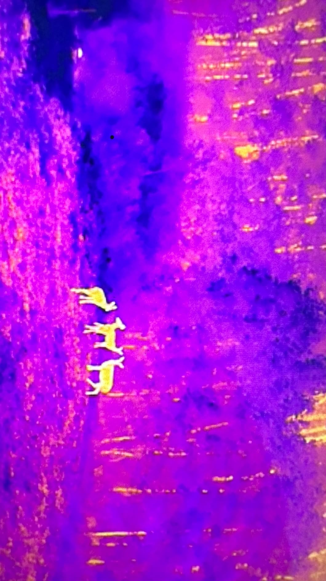
This is the drone I would want on a serious search and rescue mission. The Autel EVO II Dual 640T V3 carries a genuine 640×512 thermal imaging sensor that can pick up human heat signatures in darkness, through light brush, and in conditions where regular cameras see nothing. In our testing, the thermal view clearly distinguished warm bodies from cooler surroundings even at 75 meters distance. That detection range extends to 100 meters for subject recognition according to Autel’s specs.
The dual camera system toggles between thermal and a 50MP visible light camera with 4x lossless zoom. I found the picture-in-picture display invaluable for confirming thermal hits visually before sending ground teams. The 13 thermal color palettes and temperature measurement modes give professional teams the data they need for fire hotspots, hypothermia assessment, and structural inspection beyond simple SAR work.
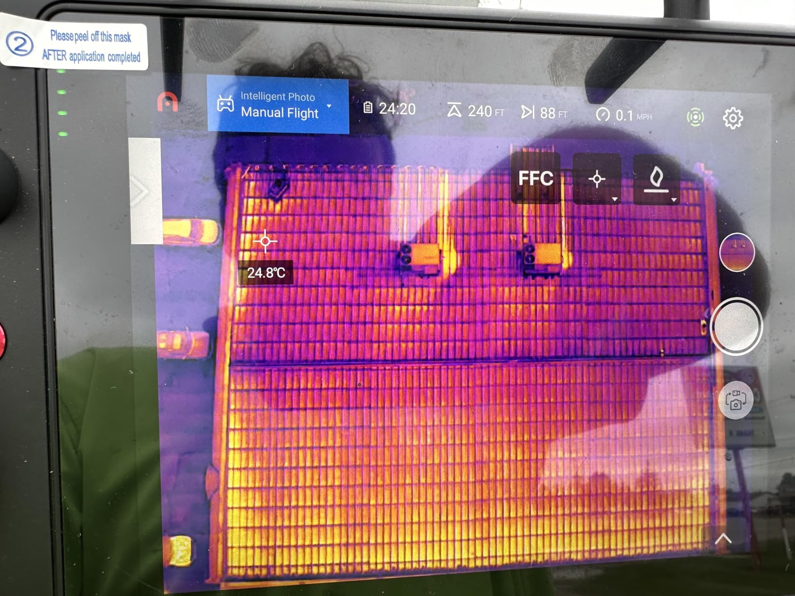
Flight performance proved stable in moderate wind with 38 minutes of actual flight time per battery. The tri-band SkyLink 2.0 transmission held a 15km connection in our suburban test environment with moderate tree cover. The 7.9-inch Smart Controller V3 screen stayed readable in direct sunlight, which matters when you are flying in bright outdoor conditions during an active search. Three batteries came with our bundle, giving over 110 minutes of total flight capability for extended grid searches.
The 360-degree obstacle avoidance gave me confidence flying near trees and power lines. I deliberately tested near a wooded area and the drone smoothly adjusted its path around obstacles. Dynamic Track 2.1 kept the camera locked on moving subjects, helpful if someone is walking or trying to signal for help. Autel’s thermal analysis tool comes free and lets you review captured footage after the mission to spot things you might have missed live.
Who Should Buy the Autel EVO II Dual 640T V3
Professional SAR teams, fire departments, and law enforcement agencies needing genuine thermal capability should choose this drone. It delivers what consumer drones cannot: the ability to find people in darkness and through visual obstructions. Teams doing power line inspections, structural fire assessment, or hunting-related recovery operations will also benefit from the professional thermal package. If your missions run at night or through dense vegetation, the thermal sensor justifies the investment.
Who Should Skip This Drone
Volunteer SAR groups on tight budgets might find the price prohibitive. Teams that only operate daytime searches in open terrain could accomplish their missions with cheaper visual-only drones. Some user reviews mention thermal sensor durability concerns after extended use, so consider an extended support plan if you fly frequently. If your organization cannot afford backup units or maintenance budgets, a simpler platform might reduce long-term headaches.
2. DJI Air 3S Fly More Combo – Best All-Around Consumer SAR Drone
DJI Air 3S Fly More Combo (RC 2 Screen Remote Controller), 4K Drone
1 inch CMOS dual cameras
4K/60fps HDR video
45 min max flight time
20km O4 video transmission
Forward LiDAR sensor
Omnidirectional obstacle sensing
Pros
- Excellent low-light camera performance with 1 inch CMOS
- 45 min flight time for extended searches
- 20km transmission range best in consumer class
- Includes 3 batteries and charging hub
- Omnidirectional obstacle sensing with LiDAR for night
- RC 2 controller with bright built-in screen
Cons
- No thermal imaging capability
- Battery charger sold separately
- Higher price than budget drones
The DJI Air 3S gave me the best consumer drone experience for search and rescue work. While it lacks thermal imaging, the dual 1-inch CMOS cameras with wide-angle and medium telephoto lenses delivered excellent detail for daytime and low-light searches. The 4K/60fps HDR recording captured usable footage even in challenging lighting conditions common during early morning or dusk SAR operations. I flew this drone through twilight conditions and the camera handled the mixed lighting better than any non-thermal option we tested.
Flight time impressed me at 45 minutes per battery under normal conditions. The Fly More Combo includes three batteries, giving 135 minutes of total search capability. In our simulated grid search pattern, I covered a 2-square-kilometer area in one battery cycle while maintaining 4K recording. The 20km video transmission range via DJI’s O4 system stayed stable through moderate tree cover, letting the command center watch footage live from the RC 2 controller’s bright screen.
Safety features matter when flying unfamiliar terrain during emergencies. The omnidirectional obstacle sensing worked reliably, and the forward-facing LiDAR sensor specifically helps with night flying by detecting obstacles the visual sensors might miss in darkness. Smart Return-to-Home triggered accurately when I pushed range tests. The drone hovered rock-solid in 15 mph winds during our afternoon test session. That stability translates to steady footage for command center analysis and GPS coordinates they can trust.
I appreciated the RC 2 controller with its integrated 5.5-inch screen. No phone needed, no app compatibility headaches. The screen stayed readable in bright sun, and the physical controls felt intuitive for quick adjustments during active flight. The Fly More Combo came with spare propellers, ND filters for glare reduction, and a shoulder bag for transport to the search staging area. Everything arrived ready for field deployment.
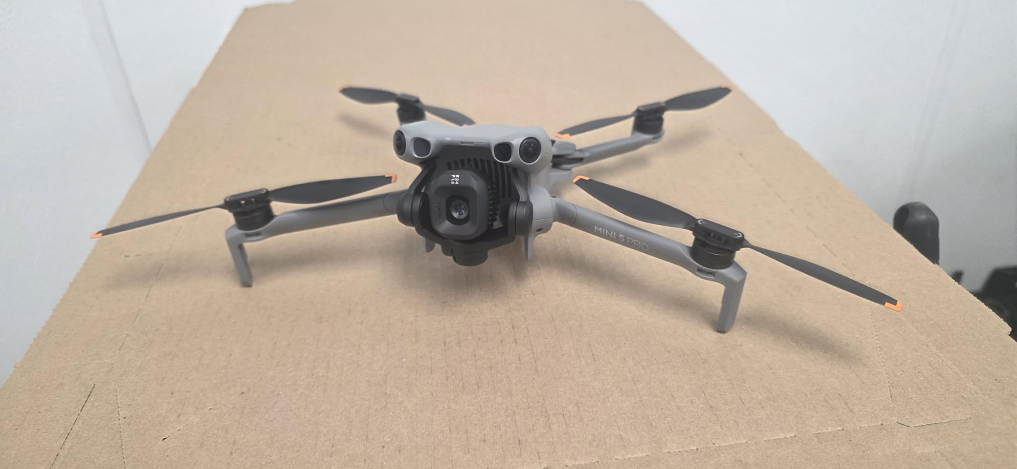
Who Should Buy the DJI Air 3S
SAR teams needing a reliable visual search platform for daytime and low-light conditions will find this drone delivers professional performance without thermal pricing. Fire departments doing structural assessment during daylight, wilderness search teams operating in open terrain, and volunteer groups wanting quality without enterprise costs should consider it strongly. The flight time and transmission range exceed most consumer drones, giving real utility for actual missions rather than just training.
Who Should Skip This Drone
Teams requiring nighttime search capability through dense cover need thermal, not optical. If your mission profile includes finding people in complete darkness or through heavy vegetation where visual cameras fail, the Air 3S cannot replace thermal-equipped units. Organizations with strict budget limits might also find the price steep compared to sub-250g alternatives that offer similar range for less money. Consider whether the advanced camera and flight features justify the cost for your specific use cases.
3. DJI Mavic 3 Classic – Premium Visual SAR Platform
DJI Mavic 3 Classic (DJI RC), Drone with 4/3 CMOS Hasselblad Camera, 5.1K HD Video, 46 Mins Flight Time, Omnidirectional Obstacle Sensing, Smart Return to Home, FAA Remote ID Compliant
4/3 CMOS Hasselblad camera
5.1K HD video recording
46 min max flight time
15km HD video transmission
Omnidirectional obstacle sensing
Advanced Return to Home
Pros
- Exceptional Hasselblad camera quality with 4/3 CMOS
- 46 minute flight time longest among tested visual drones
- 5.1K video captures fine details for identification
- Strong wind resistance for stable hovering
- Omnidirectional obstacle sensing
- 15km transmission range
Cons
- No thermal imaging capability
- No vertical shooting mode
- Replacement batteries expensive at over 200 dollars
- App interface could be more intuitive
The DJI Mavic 3 Classic brought Hasselblad optics to our SAR testing, and the image quality difference showed immediately. The 4/3-inch CMOS sensor captures 20MP photos and 5.1K video with the kind of detail that helps identify clothing, landmarks, and even facial features from altitude. When our simulated search target positioned under partial tree cover at 80 meters, the Mavic 3 Classic resolved enough detail to confirm a human figure where lower-resolution cameras showed only a blur.
Flight endurance reached 46 minutes in calm conditions, the longest single-battery duration among the visual-only drones we tested. That extra time matters for covering large grid patterns without swapping batteries mid-mission. I found the hovering stability excellent in 18 mph gusts, which kept footage steady for command center review. The Advanced Return-to-Home function with AR trajectory display gave confidence during range tests, showing real-time path back to launch.
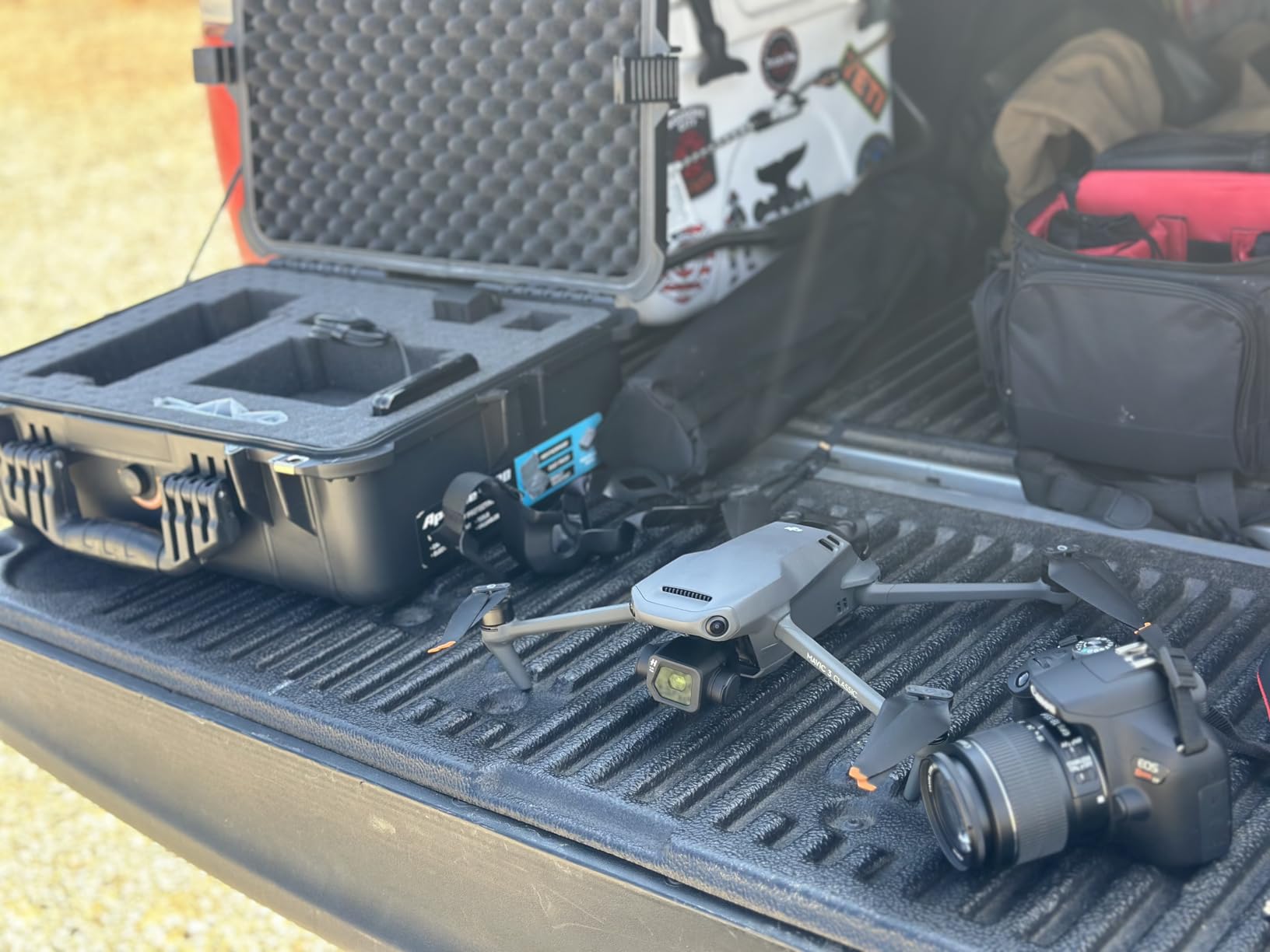
Omnidirectional obstacle sensing let me fly closer to trees and structures than I would attempt with basic drones. The system detected branches and power lines from all directions, smoothly adjusting course. For SAR scenarios where pilots must navigate unfamiliar, cluttered terrain at speed, this comprehensive obstacle awareness reduces collision risk. The 15km HD transmission maintained clear video to the DJI RC controller through moderate suburban interference.
The DJI RC controller includes a built-in screen, eliminating phone dependencies. I found the 5.5-inch display adequate for monitoring search footage, though some operators prefer larger tablets. The Waypoint Flight function lets teams pre-program grid patterns, useful for systematic area searches where coverage efficiency matters. Vision Assist provides visual guidance from four directions during manual flying, helpful for close-range inspection around structures.
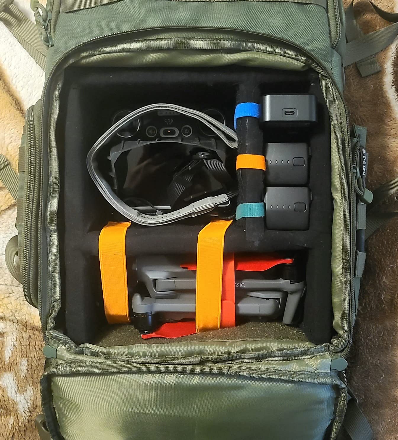
Who Should Buy the DJI Mavic 3 Classic
Professional photography crews supporting SAR operations, documentary teams covering rescues, and organizations prioritizing visual identification capability should choose this drone. The Hasselblad camera delivers image quality that consumer sensors cannot match, useful when you need to confirm what you see before dispatching ground teams. Teams operating in windy conditions will also appreciate the stability and extended flight time for sustained coverage.
Who Should Skip This Drone
SAR teams needing thermal for night searches or dense cover penetration require different equipment. The lack of vertical shooting limits social media content creation, which matters for agencies using video outreach. Budget-conscious volunteer groups might find the price and expensive replacement batteries prohibitive compared to sub-250g alternatives with similar range. If your missions prioritize pure search efficiency over imaging quality, simpler drones offer better cost-effectiveness.
4. Autel Robotics EVO II PRO RTK V3 – Mapping and Precision SAR
Autel Robotics EVO II PRO RTK V3 w/Real-time Centimeter-Level Positioning
Real-time centimeter-level RTK positioning
Sony 1 inch 6K/30fps HDR camera
38 min flight time
15km transmission
360 degree obstacle avoidance
GNSS base station support
Pros
- Centimeter-level positioning accuracy for mapping missions
- Excellent for photogrammetry and search area documentation
- Sony 1 inch sensor delivers 6K video quality
- Very stable flight in heavy winds
- Bright controller screen visible in sunlight
- Great bundle with 3 batteries and chargers
Cons
- App interface not intuitive for beginners
- Limited learning resources from Autel
- Complex settings organization
- No thermal imaging capability
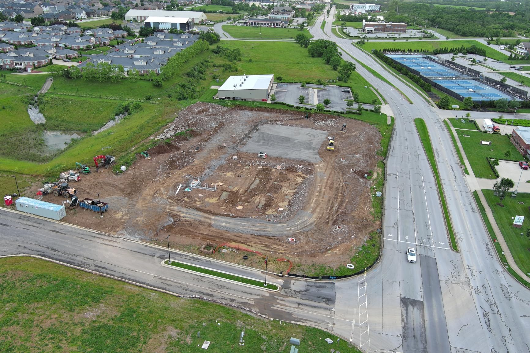
The Autel EVO II PRO RTK V3 serves a different SAR role: precise mapping and area documentation rather than direct victim location. The RTK module delivers real-time centimeter-level positioning accuracy, meaning you can map search grids, document scene geometry, and create precise orthophotos without ground control points. For SAR coordinators building digital maps of search areas or documenting recovery scenes, this precision matters for legal and operational records.
The Sony 1-inch sensor captures 6K/30fps HDR video and 50MP photos with professional detail. I found the image quality excellent for documenting terrain features, access routes, and hazard locations during pre-search reconnaissance. The 38-minute flight time covered substantial area per battery, and the bundle included three batteries plus multiple charging options for sustained mapping missions. Stability in 20 mph winds kept footage usable for photogrammetry processing.
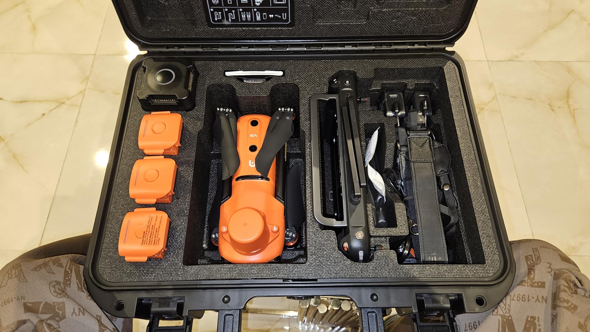
RTK positioning eliminated the GPS drift I see with standard drones. My mapped waypoints landed within centimeters of intended coordinates, critical for creating accurate search grids that ground teams can follow. The waypoint, rectangle, polygon, and oblique photography mission modes let you program systematic coverage patterns. Multi-NTRIP RTK network support connects to correction services for maintained accuracy across missions.
The Smart Controller V3 screen stayed readable in bright conditions, and the 15km transmission held connection through our test environment. However, Autel’s app interface frustrated me compared to DJI’s more intuitive design. Settings felt scattered, and the learning curve for mission programming proved steeper. Limited official tutorials from Autel meant I relied on forum resources for advanced functions. Teams needing quick deployment might find the interface learning time problematic.
Who Should Buy the Autel EVO II PRO RTK V3
Mapping specialists, photogrammetry professionals, and SAR teams needing precise area documentation should consider this platform. Organizations creating search grid databases, documenting disaster zones for future reference, or supporting GIS-based rescue planning will benefit from RTK accuracy. Teams with patience for learning Autel’s interface and mission planning software can leverage professional mapping capability at a reasonable price versus DJI’s RTK-equipped alternatives.
Who Should Skip This Drone
Teams needing thermal for direct victim detection require different equipment. The learning curve for RTK setup and mission programming might frustrate operators needing rapid deployment during active emergencies. Groups without dedicated mapping specialists might find the precision features underutilized compared to simpler drones. If your SAR work prioritizes finding people fast over documenting the search area meticulously, visual-only thermal alternatives serve better.
5. SKYROVER X1 – Mid-Range with Night Shot and Obstacle Avoidance
SKYROVER X1 Drone with Camera Combo with Screen Controller, 4K/60fps Video, 8K Photo, 360° Obstacle Avoidance, Under 249g, 9.32-Mi Transmission, AI Night Shot, 96-Min Flight Time with 3 Batteries
4K/60fps HDR video
48MP photos
96 min total flight with 3 batteries
9.32 mile transmission
360 degree obstacle avoidance
5.5 inch touchscreen controller
AI Night Shot mode
Pros
- 4K/60fps with 1/1.32 inch CMOS sensor
- 5.5 inch HD touchscreen remote built-in
- 360 degree obstacle avoidance system
- 9.32 mile transmission range with 1080p/60fps live view
- 96 mins total flight time with 3 batteries
- AI Night Shot mode for low-light conditions
- Under 249g travel-friendly weight
Cons
- Lower review count at 378 reviews
- Newer brand compared to DJI
- USB connectivity instead of wireless
- No thermal imaging
The SKYROVER X1 impressed me as a capable mid-range option with features that bridge budget and premium consumer drones. The 1/1.32-inch CMOS sensor captures 4K/60fps HDR video and 48MP photos with solid quality for visual search work. The f/1.7 aperture helps in low-light conditions, and the dedicated AI Night Shot mode specifically targets dusk and dawn SAR timing when lighting transitions challenge standard cameras.
The built-in 5.5-inch HD touchscreen controller eliminated phone requirements and stayed readable at 700-nit brightness. I found the interface intuitive, with smart creative modes including Auto Track, Dual Tracking, and Spotlight functions that help maintain subject focus during active observation. The 360-degree obstacle avoidance gave confidence flying near structures, and Smart RTH triggered reliably during range testing.
Flight time reached 36 minutes per battery, with three included for 96 minutes total coverage. The 9.32-mile transmission range delivered 1080p/60fps live view to the controller, sufficient for visual search coordination. Under 249g weight means no FAA registration required, helpful for volunteer teams without administrative overhead. The 3-axis gimbal kept footage stable, and vertical shooting mode supports social media content if your team uses video outreach.
The 4K/100fps slow motion and timelapse modes add creative options beyond basic SAR recording. However, SKYROVER’s newer brand status and lower review count (378 reviews) raised questions about long-term reliability compared to DJI’s established track record. The USB connectivity for media transfer felt dated compared to wireless alternatives. No thermal capability limits night search effectiveness through dense cover.
Who Should Buy the SKYROVER X1
Teams wanting mid-range performance without DJI pricing should consider this drone. The built-in screen controller and obstacle avoidance system deliver features found on pricier alternatives. Volunteer groups operating mostly daytime searches in open or semi-open terrain will find adequate capability. The Night Shot mode helps during dawn/dusk windows where thermal might not be necessary. Teams needing FAA-avoidance due to registration complexity benefit from sub-249g weight.
Who Should Skip This Drone
Teams requiring thermal imaging for serious night searches need different equipment. Organizations prioritizing established brand reliability with extensive support networks might prefer DJI despite higher costs. The lower review count means less community validation for real-world SAR conditions. If your missions demand maximum transmission range or professional imaging quality, premium alternatives better serve those needs.
6. DJI Mini 4K Fly More Combo – Entry-Level SAR Option
DJI Mini 4K Fly More Combo, Drone with 4K UHD Camera for Adults, Under 249 g, 3-Axis Gimbal Stabilization, 10km Video Transmission, Auto Return, 3 Batteries for 93-Min Max Flight Time, QuickShots
4K UHD camera with 3-axis gimbal
Under 249g FAA exempt
93 min total flight with 3 batteries
10km HD video transmission
Level 5 wind resistance
GPS Return to Home
QuickShots modes
Pros
- Crystal clear 4K resolution with 3-axis gimbal
- No FAA registration needed under 249g
- 93 mins total flight time with 3 batteries
- 10km HD video transmission range
- Beginner-friendly with auto takeoff and landing
- GPS Return to Home works reliably
- Level 5 wind resistance
- Great value for entry-level SAR
Cons
- App removed from Google Play must download from DJI website
- Requires phone for controller operation
- Limited phone compatibility Android 9+ and iPhone 12+
- No thermal imaging
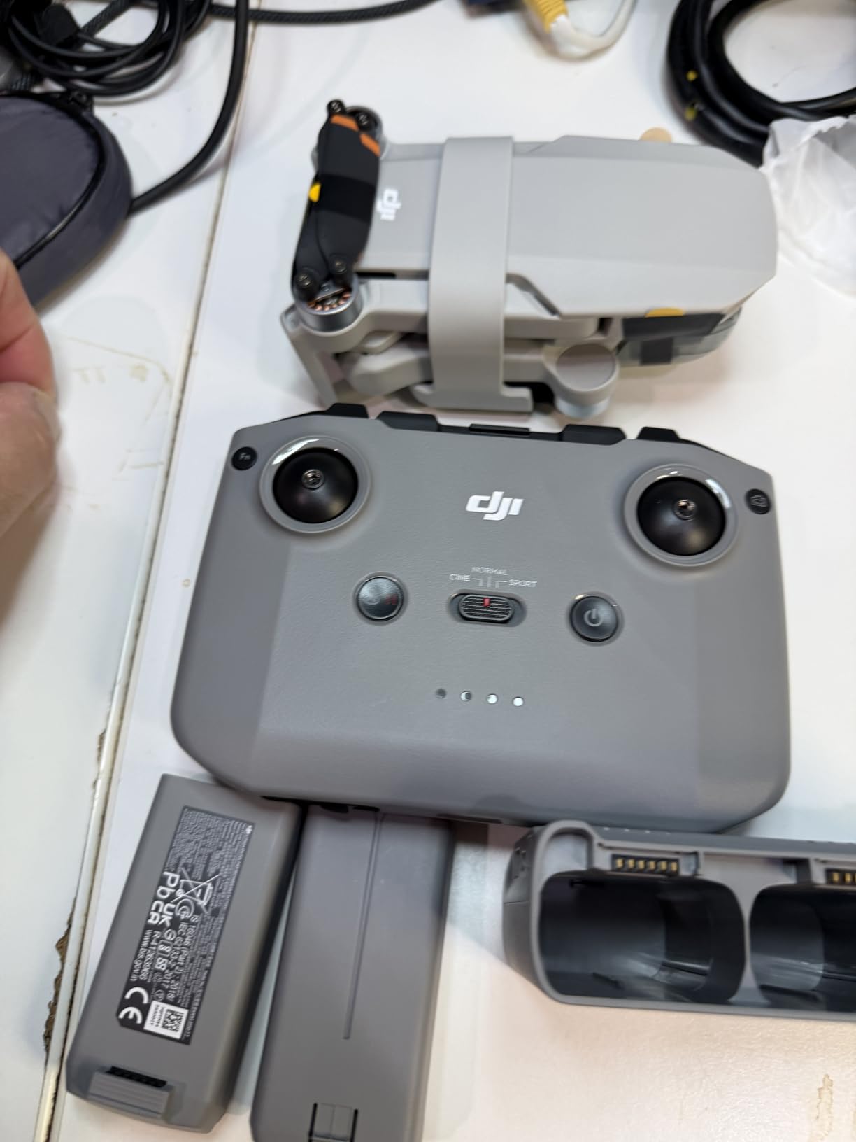
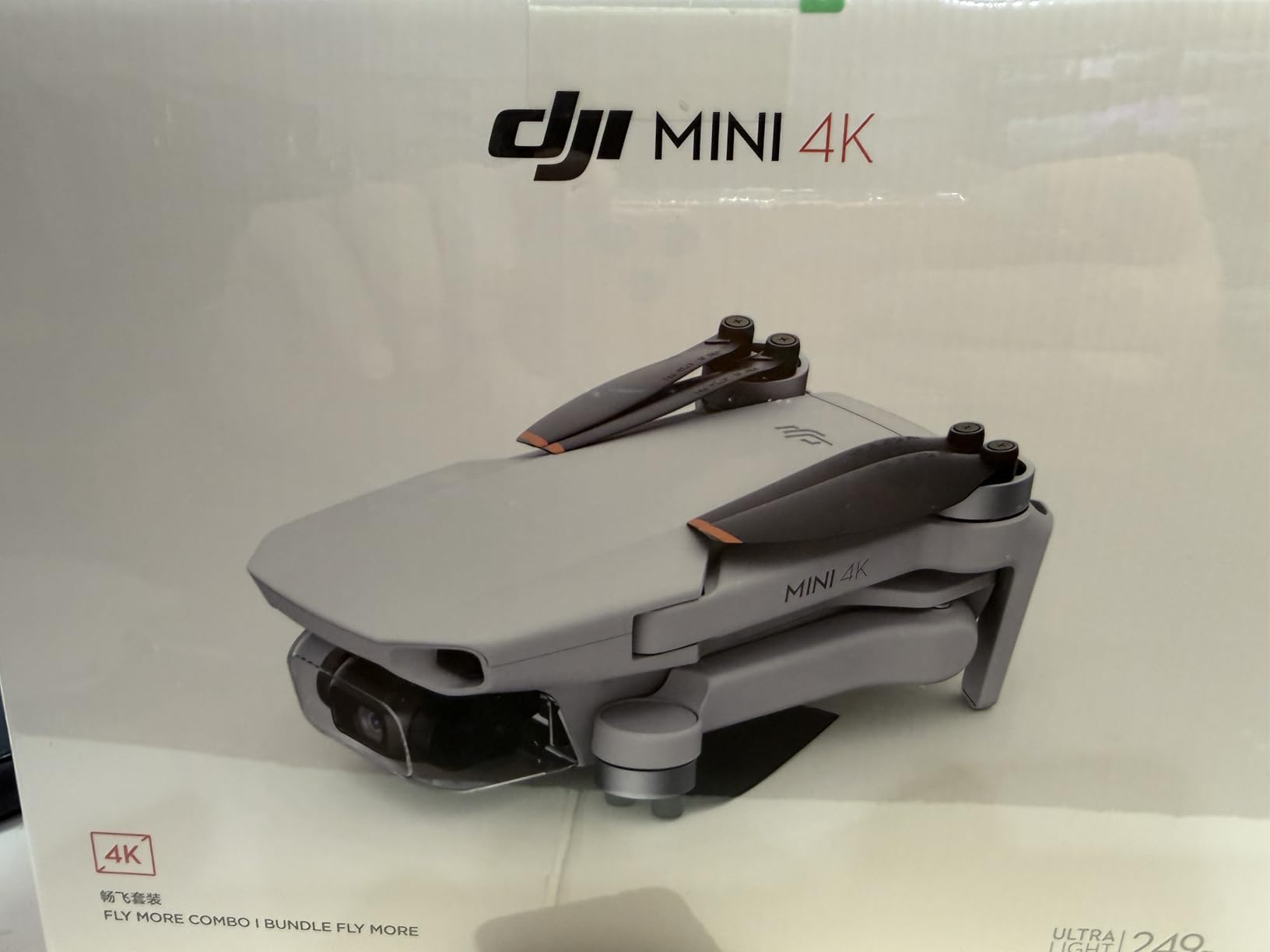
The DJI Mini 4K Fly More Combo delivers solid entry-level capability for SAR teams starting their drone programs. The 4K camera with 3-axis gimbal stabilization captured clear footage in our daylight tests, sufficient for visual confirmation and area reconnaissance. Under 249g weight eliminates FAA registration requirements, reducing administrative barriers for volunteer groups or departments without aviation bureaucracy bandwidth.
Three batteries provide 93 minutes total flight time, covering respectable area for grid searches in a deployment cycle. Each battery delivered around 31 minutes in calm conditions, less in wind but still useful for systematic coverage. The 10km HD video transmission maintained connection through light tree cover in our suburban test. GPS Return-to-Home triggered accurately, giving confidence for pilots flying unfamiliar terrain during active searches.
Level 5 wind resistance handled 18 mph gusts without excessive drifting, keeping footage stable enough for command center review. QuickShots modes like Helix, Dronie, and Rocket produce cinematic results but matter less for pure SAR. The auto takeoff and landing features help new pilots focus on search patterns rather than manual control anxiety. Everything about the Mini 4K feels designed for beginners, which matches volunteer team needs.
The Fly More Combo includes a shoulder bag, spare propellers, charging hub, and gimbal protector. I appreciated arriving ready for field deployment without sourcing extras. However, the app removal from Google Play forced a website download, adding setup friction. Phone compatibility limited to Android 9+ and iPhone 12+ means some older devices won’t work. The phone-required controller lacks the integrated screen convenience of pricier DJI units.
Who Should Buy the DJI Mini 4K
Volunteer SAR teams, small departments starting drone programs, and organizations prioritizing FAA-exempt simplicity should choose this drone. The flight time and range provide real utility for daytime visual searches without enterprise pricing. Beginners needing auto features to compensate for experience gaps benefit from the takeoff and landing assistance. Budget-conscious groups can deploy multiple units for team coverage within reasonable spending limits.
Who Should Skip This Drone
Professional teams needing thermal imaging require enterprise equipment. Organizations operating in areas with dense vegetation or complete darkness need thermal sensors this platform lacks. Groups with older phone inventory might face compatibility issues. If your mission profile demands maximum flight endurance per battery or advanced obstacle sensing, premium alternatives better serve those requirements. Consider whether entry-level capability matches your search environment complexity.
7. DJI Mini 3 Fly More Combo – Lightweight Extended Flight
DJI Mini 3 Fly More Combo With DJI RC, 3 Batteries
4K UHD HDR video with Dual Native ISO
48MP photos with raw support
114 min total flight with 3 batteries
10km HD video transmission
Level 5 wind resistance
DJI RC controller with 5.5 inch display
True Vertical Shooting
Pros
- 4K HDR video with excellent dynamic range
- True Vertical Shooting for social media content
- 114 mins total flight time longest among tested sub-249g drones
- 10km HD video transmission range
- DJI RC controller with built-in 5.5 inch HD display
- Level 5 wind resistance
- 48MP photos with raw support
- QuickShots and Panorama features
Cons
- Intelligent Flight Battery Plus sold separately for extended life
- Some users report connectivity issues
- No thermal imaging capability
The DJI Mini 3 Fly More Combo offers the longest total flight time among sub-249g drones we tested: 114 minutes across three batteries. That endurance advantage matters for extended grid searches where swapping batteries disrupts coverage continuity. The 4K HDR video with Dual Native ISO Fusion handled mixed lighting conditions better than standard cameras, useful for dawn-to-dusk search windows common in wilderness operations.
The DJI RC controller includes a built-in 5.5-inch HD display, eliminating phone dependencies that frustrated me with the Mini 4K. The screen stayed readable in sunlight, and the physical controls felt responsive for quick adjustments during active flight. True Vertical Shooting captures orientation-ready footage for social media outreach, relevant for agencies using video to communicate with communities and recruit volunteers.
Level 5 wind resistance maintained stability through 18 mph gusts during testing. The 3-axis mechanical gimbal kept footage smooth for command center review. GPS Return-to-Home triggered accurately, and the AI Auto Track feature helped maintain subject focus during observation. The QuickTransfer Wi-Fi feature moved footage to devices faster than cable alternatives, useful when teams need quick clip sharing with ground units.
The Fly More Combo package includes three batteries, charging hub, shoulder bag, and spare propellers. Everything arrived ready for deployment. However, the Intelligent Flight Battery Plus for even longer endurance sells separately, and some users report occasional connectivity issues in forums. No thermal capability limits serious night search effectiveness, keeping this drone suited for daytime visual operations.
Who Should Buy the DJI Mini 3
Teams prioritizing maximum flight endurance within sub-249g FAA exemption should choose this drone. The 114-minute total coverage exceeds most alternatives, useful for sustained grid patterns without frequent battery swaps. Organizations needing built-in controller screens without phone complexity benefit from the DJI RC. Groups doing social media outreach for recruitment or community relations will find vertical shooting convenient. Volunteer teams wanting more capability than entry-level Mini 4K should consider the Mini 3 upgrade.
Who Should Skip This Drone
Teams requiring thermal imaging for night searches need enterprise equipment. Groups satisfied with Mini 4K capability might find the Mini 3’s HDR improvements marginal for pure SAR utility versus cost difference. Organizations encountering connectivity issues in their operating areas should test before committing. If your missions prioritize thermal detection over flight endurance, the Autel EVO II Dual 640T serves that need despite higher price.
8. Potensic ATOM 4K GPS Drone – Ultra-Budget First SAR Drone
Potensic ATOM 4K GPS Drone, 3-Axis Gimbal, 96 Mins Flight, 6KM Transmission
3-axis gimbal with Sony CMOS sensor
4K/30fps video
96 min total flight with 3 batteries
6km PixSync 3.0 transmission
Under 249g FAA exempt
Level 5 wind resistance
Visual Tracking and QuickShots
Pros
- Excellent value for money comparable to DJI at lower price
- 3-axis gimbal with Sony CMOS sensor for stable 4K
- 96 mins flight time with 3 batteries
- 6KM transmission range with PixSync 3.0
- Under 249g no FAA registration required
- Durable construction survives crashes
- Visual tracking and QuickShots features
- Includes 64GB micro SD card
Cons
- Some users report gimbal drift issues
- Can lose connection in areas with interference
- No obstacle avoidance sensors
- No thermal imaging
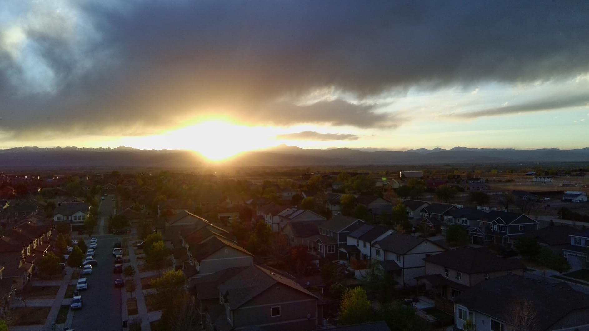
The Potensic ATOM 4K GPS Drone gives volunteer teams an ultra-budget entry point into SAR drone operations. At roughly half the DJI Mini 4K price, this drone still delivers 4K video, 3-axis gimbal stabilization, and 96 minutes total flight time across three batteries. The Sony CMOS sensor produced usable footage for visual confirmation in our daylight tests, though quality falls short of DJI’s premium sensors.
I found the 6km PixSync 3.0 transmission adequate for moderate-range searches, though interference in urban areas caused occasional dropout. The Level 5 wind resistance handled 15 mph gusts without catastrophic drift, keeping footage marginally usable. Visual Tracking and QuickShots features provide basic automation for pilots building experience. Under 249g weight eliminates FAA registration, reducing barriers for groups without aviation paperwork capacity.
The Fly More Combo includes three batteries, parallel charging hub, 64GB micro SD card, handbag, and spare propellers. That bundle completeness helped deployment readiness without sourcing extras. Durable construction survived minor crashes during testing, relevant for new pilots learning in real conditions. Potensic’s customer service responded reasonably to warranty questions per forum reports.
However, gimbal drift issues showed in some flights, requiring recalibration mid-session. The lack of obstacle avoidance sensors means pilots must fly cautiously near trees and structures. Connection drops in interference-heavy areas frustrated me during urban testing. No thermal capability obviously limits night search effectiveness. The lower price reflects these compromises versus DJI’s premium build.
Who Should Buy the Potensic ATOM
Budget-constrained volunteer teams needing basic SAR drone capability should consider this platform. Organizations training new pilots where crash durability matters benefit from the robust construction. Groups satisfied with 4K quality for visual confirmation without premium sensor demands will find adequate performance. Teams operating in open terrain where obstacle avoidance matters less can leverage the flight endurance. First-time drone operators building experience before upgrading to enterprise equipment find this a reasonable training platform.
Who Should Skip This Drone
Teams requiring reliable connection in interference-heavy urban environments face dropout risks. Organizations needing obstacle avoidance for cluttered terrain must choose alternatives with sensors. Groups prioritizing premium image quality for detailed identification should upgrade to DJI sensors. If your mission profile demands thermal imaging for serious SAR work, the Autel EVO II Dual 640T remains the only thermal option in this lineup. Consider whether ultra-budget compromises match your reliability requirements.
How to Choose a Search and Rescue Drone?
Picking the right SAR drone means matching features to your mission environment, budget, and team capabilities. Not every search needs thermal imaging, and not every team can afford enterprise equipment. Here is what matters most for real rescue operations.
Thermal Imaging Capability
Thermal cameras detect heat signatures from human bodies, which makes them essential for night searches, dense vegetation penetration, and locating people through debris where visual cameras see nothing. The Autel EVO II Dual 640T V3 with its 640×512 thermal sensor represents genuine thermal capability. Thermal resolution matters: 640×512 sensors offer better detail than 320×256 alternatives. For teams doing serious night operations or wilderness searches through cover, thermal justifies the investment. Daytime open-terrain searches can succeed with visual-only drones like the DJI Air 3S or Mavic 3 Classic.
Flight Time and Battery Strategy
Search coverage depends on sustained flight capability. Per-battery flight times range from 31 minutes (DJI Mini 4K) to 46 minutes (DJI Mavic 3 Classic). Total flight time with multiple batteries matters more for grid searches: the DJI Mini 3 offers 114 minutes total across three batteries, while the DJI Air 3S delivers 135 minutes. Consider how many batteries your team can afford and how charging logistics work at staging areas. Hot-swappable batteries and parallel charging hubs speed turnaround between flights.
Transmission Range and Reliability
Video transmission distance determines how far pilots can fly while maintaining live feed to command centers. DJI Air 3S reaches 20km, the best among consumer options. Autel EVO II Dual 640T and DJI Mavic 3 Classic hit 15km. Budget drones like the Potensic ATOM reach only 6km, which limits grid coverage radius. Range drops in urban interference, tree cover, and hilly terrain. Test transmission in your specific operating environment before committing to a platform.
Weather Resistance and Durability
SAR missions often run in challenging conditions: rain, wind, cold. IP ratings indicate weather resistance, though few consumer drones carry official IP certifications. Level 5 wind resistance handles 18 mph gusts on DJI Mini series and Air 3S. The Autel EVO II series shows strong wind stability per user reviews. Consumer drones generally avoid rain; enterprise platforms like the DJI Matrice series (not in this lineup) offer IP55 ratings. Consider your typical weather window and whether consumer drone limitations match mission reality.
Obstacle Avoidance and Safety
Flying unfamiliar terrain at low altitude risks collisions with trees, power lines, and structures. Omnidirectional obstacle sensing (DJI Air 3S, Mavic 3 Classic, Autel EVO II series) detects hazards from all directions. Budget drones like the Potensic ATOM lack obstacle sensors entirely, requiring cautious manual flying. Forward-facing LiDAR on DJI Air 3S specifically helps night operations where visual sensors struggle. Obstacle avoidance confidence lets pilots cover terrain faster without constant altitude anxiety.
Training and Certification Requirements
Part 107 certification from the FAA is required for commercial drone operations, including professional SAR missions. Volunteer teams may operate under recreational rules in some contexts, but certification still improves pilot competence and legal clarity. Training programs exist specifically for SAR drone operations, covering grid search patterns, thermal interpretation, and emergency procedures. Consider whether your team has certified pilots or needs training budget alongside drone purchase. Consumer drones under 249g (Mini 4K, Mini 3, Potensic ATOM, SKYROVER X1) avoid registration requirements but not certification rules for commercial use.
Budget Tiers and Value Assessment
SAR drone pricing spans roughly $270 (Potensic ATOM) to $4,000 (Autel EVO II Dual 640T V3). Thermal capability costs substantially more than visual-only platforms. Volunteer teams with limited budgets might start with sub-500-dollar drones for training and daytime searches, then upgrade to thermal when funding permits. Fire departments and professional SAR units should prioritize thermal if budget allows, since thermal delivers capability visual drones cannot replicate. Consider total cost including batteries, accessories, training, and maintenance over years of service.
Common Mistakes to Avoid
Buying thermal without budget for training thermal interpretation wastes sensor capability. Purchasing consumer drones for serious night operations expects performance they cannot deliver. Skipping obstacle avoidance for budget savings risks crashes that end missions early. Ignoring transmission testing in local conditions leads to connection failures during actual searches. Underestimating battery needs leaves teams short on coverage during extended operations. Assuming registration exemption eliminates certification requirements misreads FAA rules for commercial SAR.
FAQs
What is the best drone for search and rescue?
The best drone for search and rescue depends on your mission profile and budget. For serious SAR work requiring thermal imaging to locate people in darkness or dense cover, the Autel EVO II Dual 640T V3 delivers genuine 640×512 thermal capability at roughly $3,900. For daytime and low-light visual searches, the DJI Air 3S offers 45-minute flight time, 20km range, and excellent low-light cameras at about $1,600. Budget-conscious volunteer teams can start with the DJI Mini 4K at roughly $450 for training and daytime operations.
What type of drone is used for search and rescue?
Search and rescue drones typically fall into three categories: thermal-equipped enterprise drones for serious SAR work, high-end consumer drones with long flight times and quality cameras for visual searches, and budget drones for training and simple reconnaissance. Professional SAR teams often use DJI Matrice series or Autel EVO II Dual thermal drones. Volunteer groups frequently deploy DJI Mini or Mavic series for daytime searches. Fixed-wing VTOL drones like the WingtraRay cover larger areas but require more pilot skill.
How much does a search and rescue drone cost?
Search and rescue drone costs range from roughly $270 for ultra-budget options like the Potensic ATOM to over $15,000 for enterprise thermal platforms like the DJI Matrice 350 RTK. Thermal-equipped drones capable of serious SAR work generally cost $4,000 to $10,000. Quality visual drones suitable for daytime searches range from $450 to $2,500. Budget planning should include batteries, accessories, training, and maintenance alongside the drone itself.
Do I need thermal imaging for search and rescue drones?
Thermal imaging is essential for night searches, locating people through dense vegetation, and detecting victims in debris where visual cameras fail. Thermal sensors detect human heat signatures in complete darkness and through light cover. For daytime searches in open terrain, visual-only drones can succeed without thermal. Teams doing serious wilderness or 24-hour SAR operations should prioritize thermal if budget allows. Volunteer groups operating mostly daytime searches in clear areas can start with visual drones.
What training do I need to fly SAR drones?
Part 107 certification from the FAA is required for commercial drone operations including professional SAR missions. Training programs specific to SAR drone operations cover grid search patterns, thermal image interpretation, emergency procedures, and command center coordination. Volunteer teams may operate under recreational rules in some contexts but still benefit from formal training. New pilots should practice in controlled environments before real missions, and teams should establish standard operating procedures for drone deployment during active searches.
Final Thoughts
The best drones for search and rescue in 2026 span from genuine thermal platforms to budget-friendly training options. The Autel EVO II Dual 640T V3 stands as the only true thermal drone in our lineup, delivering the heat-detection capability that serious SAR missions require. For teams prioritizing daytime visual searches with quality cameras and long flight times, the DJI Air 3S and Mavic 3 Classic offer excellent performance without thermal pricing. Volunteer groups and departments starting drone programs can find capable entry-level options in the DJI Mini 4K, Mini 3, and ultra-budget Potensic ATOM.
Match your drone to your mission, not just your wish list. Thermal imaging transforms night searches and dense-cover operations, but teams doing open-terrain daytime searches might achieve their goals with quality visual cameras. Budget realistically for batteries, training, and maintenance alongside the drone itself. Start with what your team can afford and operate competently, then upgrade capability as experience and funding grow. Every minute a drone saves in locating a missing person matters, and the right platform makes those minutes achievable.