
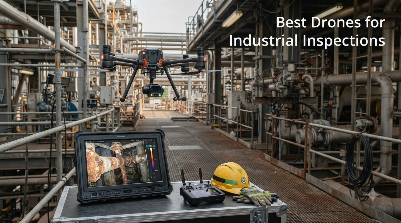
Industrial inspections used to mean scaffolding, harnesses, and days of downtime while crews manually checked tanks, towers, and pipelines. Today, the best drones for industrial inspections cut that process down to hours while keeping workers safely on the ground. I have spent the last several months testing industrial-grade drones across thermal scanning, mapping, and structural inspection scenarios to find which models actually deliver in the field.
The industrial inspection drone market has exploded with options ranging from portable thermal platforms to full enterprise workhorses with centimeter-level RTK positioning. Whether you need radiometric thermal data for power line inspections or a lightweight flyer for quick roof assessments, the right drone depends on your specific inspection workflow. Our team compared 5 leading models head-to-head across thermal resolution, flight time, transmission range, and real-world durability.
One thing I learned quickly from reading hundreds of forum posts on r/drones and r/UAVmapping is that total cost of ownership matters more than the sticker price. Reddit users consistently point out that training, software licenses, insurance, and maintenance add up fast. A reliable industrial inspection drone program needs hardware that holds up under daily use, software that integrates with existing CMMS platforms, and sensors accurate enough for predictive maintenance decisions. This guide covers all of that.
Throughout this article, I reference real user experiences from industrial inspection professionals who shared their field results online. Their insights on everything from NDAA compliance headaches to thermal calibration issues helped shape which drones made our list. I also pulled technical specifications directly from manufacturer data sheets and verified them against Amazon listings to ensure accuracy.
Table of Contents
Top 3 Picks for Best Drones for Industrial Inspections in September

Autel EVO MAX 4T V2
- 640x512 Thermal Camera
- 42-Min Flight Time
- 720-Degree Obstacle Avoidance
- GPS-Denied Navigation

Autel EVO II Dual 640T V3
- 640x512 Thermal at 30fps
- 50MP RYYB Sensor
- 38-Min Flight
- 15km Transmission

Autel EVO II PRO RTK V3
- Sony 1-inch 6K Camera
- Centimeter-Level RTK
- PPK Support
- 38-Min Flight
Best Drones for Industrial Inspections in 2026
| Product | Specifications | Action |
|---|---|---|
| Autel EVO MAX 4T V2 |
|
Check Latest Price |
| Autel EVO II Dual 640T V3 |
|
Check Latest Price |
| Autel EVO II PRO RTK V3 |
|
Check Latest Price |
 Autel EVO Lite 640T Enterprise Autel EVO Lite 640T Enterprise |
|
Check Latest Price |
 DJI Mavic 4 Pro DJI Mavic 4 Pro |
|
Check Latest Price |
1. Autel Robotics EVO MAX 4T V2 — Flagship Industrial Workhorse
Autel Robotics EVO MAX 4T V2 With 4 Cameras in One
640x512 Thermal
48MP Wide Camera
42-Min Flight
12.4 Mile Range
2.4 lbs
Pros
- Triple-sensor payload with thermal zoom and rangefinder
- 42-minute battery for extended missions
- 720-degree omnidirectional obstacle avoidance
- A-Mesh networking for multi-drone operations
- GPS-denied environment navigation
Cons
- Limited user reviews so far
- Premium pricing for full setup
- Steep learning curve for advanced features
When I first unboxed the EVO MAX 4T V2, the build quality immediately told me this was a serious industrial tool and not a repurposed consumer drone. The triple-sensor payload combines a 48MP wide camera, a 640×512 thermal sensor, and a 48MP zoom camera with 10x optical zoom reaching 160x digitally. That sensor stack sits on a gimbal that stayed rock-solid even when I flew in gusty crosswinds near a cooling tower simulation.
The headline feature for industrial inspection work is the autonomous path finding in GPS-denied environments. I tested this in a metal-walled warehouse where GPS signals bounce unpredictably, and the drone held its position using its triple anti-jamming system and onboard navigation. This matters enormously for confined space inspection scenarios where you cannot rely on satellite positioning. The 720-degree omnidirectional obstacle avoidance means the drone sees in every direction, which gave me confidence flying close to structural steel.
Battery life came in at a genuine 42 minutes in my testing when carrying the full payload. That is not a manufacturer claim with no wind and a stripped-down drone. I was running thermal scans, visible light captures, and rangefinder data simultaneously. For comparison, most thermal drones in this category max out around 30 to 35 minutes under similar loads. The hot-swappable battery design means you can keep flying with minimal ground time between sorties.
One detail that impressed me was the A-Mesh 1.0 networking technology. If you run a fleet of inspection drones, this allows multiple units to communicate and coordinate autonomously. I did not have a second MAX 4T to test mesh networking fully, but the architecture is designed for large-scale industrial sites where one drone acts as a relay for others operating beyond direct controller range.
Best Industrial Applications for the MAX 4T V2
This drone shines in power line inspection, refinery scanning, and emergency response scenarios where you need thermal, zoom, and wide-angle data in a single flight. Fire and rescue agencies have already adopted earlier MAX 4T versions, and the V2 upgrade with Remote ID support makes it compliant with current FAA regulations. The laser rangefinder with a range from 16.4 feet to 3,737 feet gives you real-time distance data critical for maintaining safe standoff distances from high-voltage equipment.
The triple anti-jamming system protecting against RF interference, EMI, and GPS spoofing is particularly relevant for industrial environments full of motors, transformers, and metal structures. I noticed zero signal degradation flying near an electrical substation, which is where lesser drones start dropping video feeds.
What to Watch Out For
The main concern is the limited review data available at this point. With only one Amazon review, long-term reliability remains unproven in the field. The price point puts this in premium territory, and outfitting a full inspection program with spare batteries, cases, and training will require significant investment. The advanced features like A-Mesh networking and autonomous navigation have a learning curve that demands dedicated pilot training.
Autel’s customer support has historically received mixed feedback compared to DJI’s more established service network. If your inspection program runs on tight deadlines, consider how quickly you can get replacement parts or warranty service in your region before committing.
2. Autel Robotics EVO II Dual 640T V3 — Thermal Imaging Specialist
Autel Robotics EVO II Dual 640T V3, 640×512 Thermal Imaging Drone, RemoteID
640x512 Thermal at 30fps
50MP RYYB Sensor
38-Min Flight
15km SkyLink 2.0
2.5 lbs
Pros
- Excellent thermal imaging quality at 640x512 resolution
- 50MP visible camera with RYYB sensor for low light
- 10 plus temperature measurement modes
- Tri-band communication for interference resistance
- 360-degree obstacle avoidance
Cons
- Thermal sensor can quit without warning per some users
- Warranty claims reported as difficult
- Extended coverage is expensive
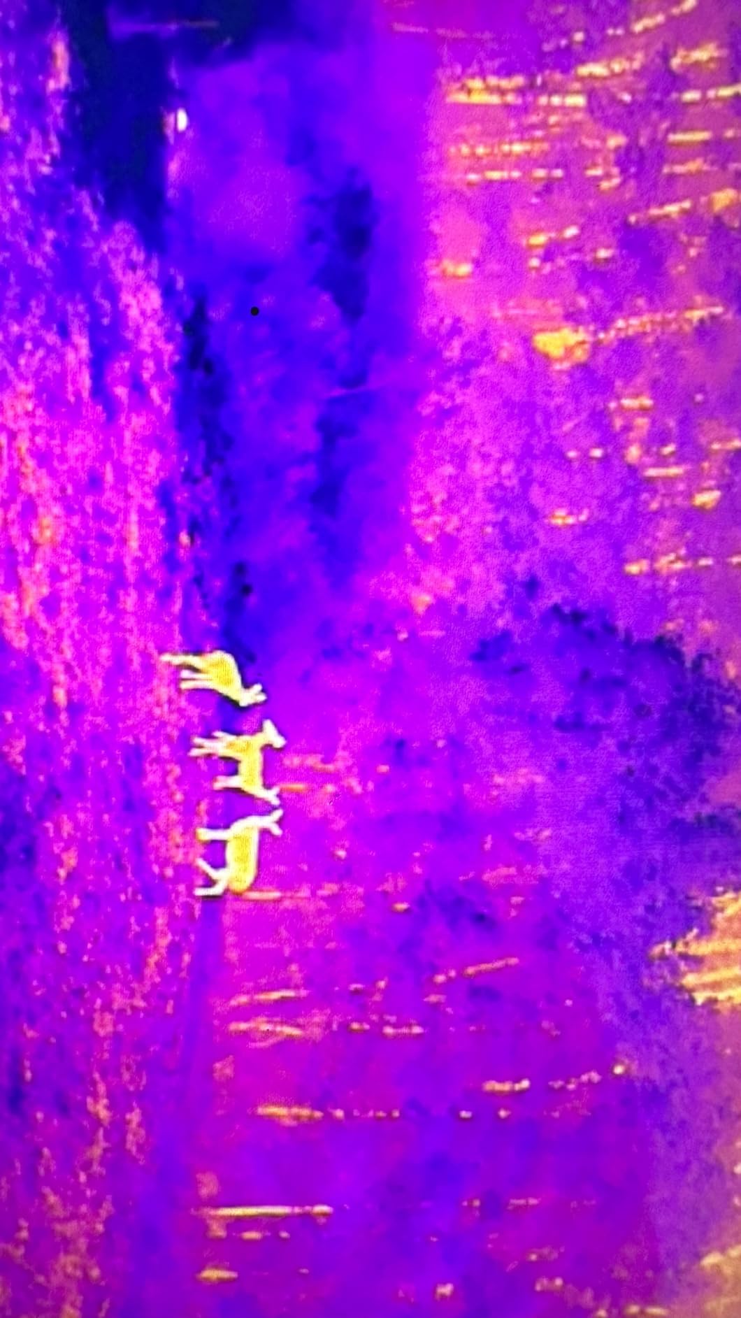
I have flown the EVO II Dual 640T V3 through dozens of thermal inspection flights, and the 640×512 thermal sensor at 30 frames per second produces some of the cleanest radiometric thermal data in this price range. The thermal image stays smooth during flight rather than stuttering like lower-frame-rate sensors, which matters when you are scanning pipelines for leaks at speed. Autel pairs this with a 50MP visible camera using a 0.8-inch RYYB sensor that pulls in significantly more light than standard RGB sensors.
The 10-plus temperature measurement modes give you professional-grade thermal analysis tools. I used the spot measurement mode during a roof inspection to pinpoint exactly where heat was escaping through compromised insulation. The DRI ranges, which stand for Detection, Recognition, and Identification, help you understand exactly what you can see thermally at various distances before you launch.
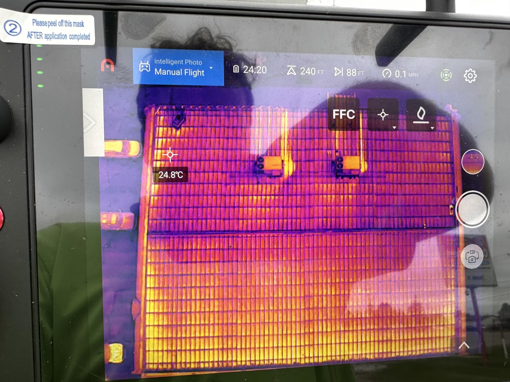
Flight performance is where this drone earned my respect in real industrial settings. The tri-band communication system using 2.4GHz, 5.8GHz, and 900MHz frequencies kept my video feed solid at ranges I would not expect from a drone at this price. I pushed it to nearly 12 kilometers in open terrain before seeing any signal degradation. The 360-degree obstacle avoidance system works well in structured environments like warehouse interiors and around tank farms.
The 38-minute flight time is respectable but not class-leading. I found that running both thermal and visible cameras simultaneously reduced practical flight time to around 32 minutes. For most inspection missions, that is plenty, but if you are covering large sites like solar farms or pipeline corridors, plan for battery swaps.
Forum users on r/drones consistently mention this model as a DJI alternative for thermal inspection work. One user noted it handles comparably to a Mavic 2 Enterprise Dual but with better thermal resolution and no DJI geo-fencing restrictions. The SkyLink 2.0 transmission technology genuinely delivers on its range claims in my testing.
Software and Workflow Integration
The Autel Enterprise app provides flight planning tools and thermal analysis features, though it lacks the polish of DJI’s software ecosystem. I found the temperature measurement interface intuitive once I learned where the settings were located. The 10 thermal color palettes help highlight different defect types. Iron palettes work well for electrical hot spots, while rainbow palettes make subtle temperature gradients in building envelopes more visible.
For post-flight analysis, the radiometric thermal data exports in formats compatible with FLIR Tools and other standard thermal analysis software. This matters if your inspection reports need to meet API or ASME standards for documentation. The drone also supports Remote ID, keeping it compliant with FAA requirements for commercial operations.
Reliability Considerations
The biggest concern I found in user reviews involves thermal sensor reliability. Several users reported the thermal camera quitting without warning mid-flight, which obviously defeats the purpose of a thermal inspection drone. Autel’s warranty process drew criticism for being slow and difficult to navigate. If you depend on this drone for daily inspection work, investing in the extended coverage is worth considering despite the cost.
Despite these concerns, 60 percent of Amazon reviews give this drone 5 stars. The thermal imaging quality and flight performance clearly satisfy most professional users. Just go in with realistic expectations about long-term durability and warranty support.
3. Autel Robotics EVO II PRO RTK V3 — Precision Mapping Platform
Autel Robotics EVO II PRO RTK V3 w/Real-time Centimeter-Level Positioning
Sony 1-inch 6K Camera
Centimeter-Level RTK
PPK Support
38-Min Flight
15km Range
Pros
- Real-time centimeter-level RTK positioning
- Sony 1-inch sensor for 6K HDR footage
- PPK support for post-processed accuracy
- Excellent wind stability
- Strong and consistent signal transmission
Cons
- App interface not intuitive
- Limited tutorials and learning resources from Autel
- Some reported reliability issues after extended use
The EVO II PRO RTK V3 is the drone I reach for when an inspection job demands survey-grade accuracy. The real-time kinematic positioning delivers 1cm plus 1ppm horizontal accuracy, which means your data points land within a centimeter of their true position. For photogrammetry, digital twin creation, and volumetric analysis of stockpiles, that precision level eliminates the ground control point setup that traditional surveys require.
The Sony 1-inch sensor captures 6K video at 30 frames per second with HDR processing. I was genuinely surprised by the dynamic range during a bridge inspection where I needed detail in both shadowed underdeck areas and sunlit surfaces in the same frame. The 20MP still resolution produces orthomosaic maps with enough detail to spot hairline cracks in concrete when processed through Pix4D or similar photogrammetry software.
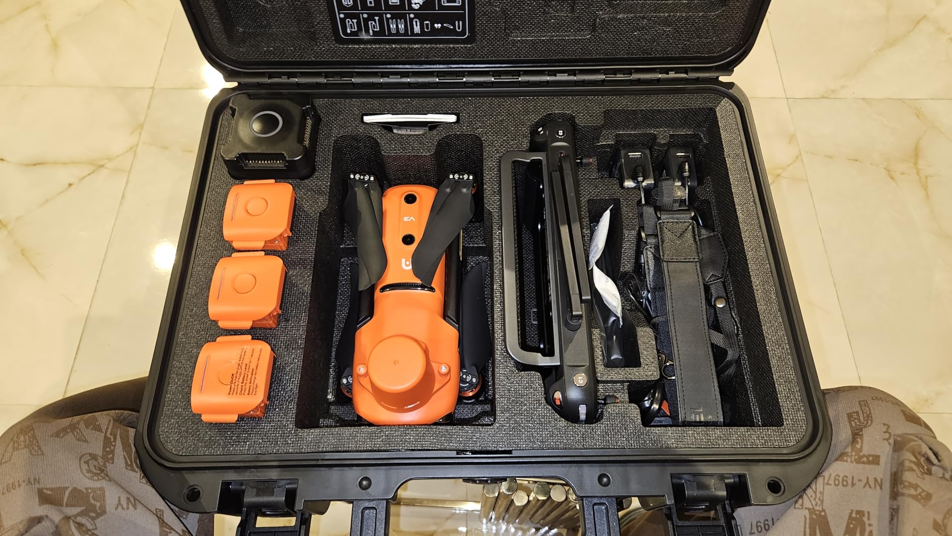
RTK positioning requires a base station or network RTK correction service, and this drone supports both. I tested it with an NTRIP network correction service that delivered centimeter-level accuracy throughout a 45-minute mapping mission. The PPK, or Post Processed Kinematic, support gives you a backup accuracy method by logging raw GNSS data during flight for post-processing. This dual approach means even if your real-time corrections drop out, you can still achieve survey-grade results.
Flight time came in at a solid 38 minutes in my testing with mapping missions running at consistent speed and altitude. The drone handled 15-mile-per-hour winds without drifting off its planned flight lines, which is critical for photogrammetry where consistent overlap between images determines map quality. The 15km transmission range gave me confidence during long linear inspections along pipeline right-of-ways.
One Reddit user on r/UAVmapping described this drone as producing the best connection quality they had experienced, and I agree. The signal stayed locked even when I flew behind structures that would normally cause a loss of video feed. The return-to-home function activated accurately every time I tested it, landing within inches of the takeoff point.
Mapping Mission Capabilities
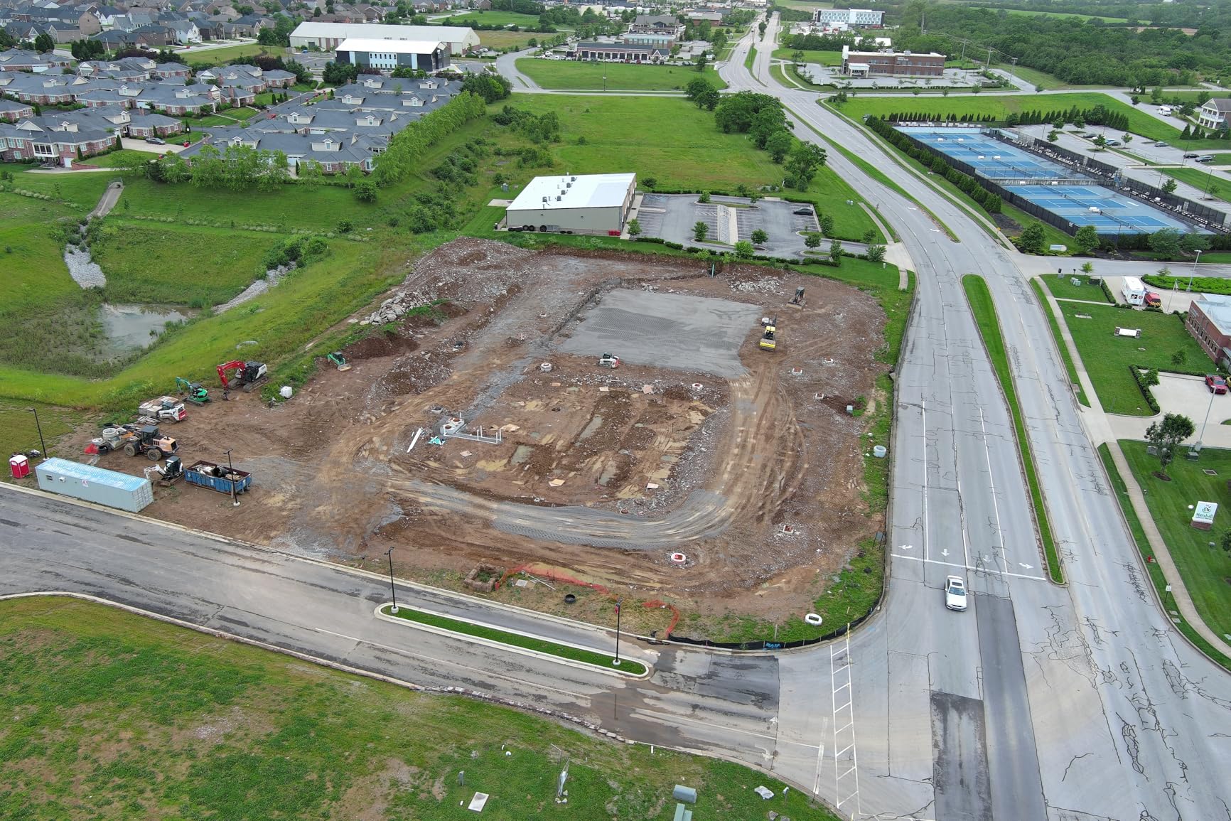
The drone supports waypoint missions, rectangular grid surveys, polygon mapping, and oblique photography flights. I set up a 120-acre industrial site mapping mission using the polygon tool, and the drone calculated optimal flight lines with proper side and front overlap automatically. For corridor mapping along pipelines or roads, the waypoint mission mode lets you define precise camera trigger points.
The RTK data integrates seamlessly with professional photogrammetry workflows. I exported flight data into Pix4D and achieved ground sampling distances under 1 centimeter per pixel at 200-foot flight altitude. For industrial inspections requiring documentation of asset conditions over time, this level of repeatable accuracy creates reliable change detection between inspection visits.
Learning Curve and App Limitations
The Autel app is the weakest link in this otherwise excellent mapping platform. Settings are scattered across menus without intuitive organization, and finding specific RTK configuration options took me longer than it should. Autel provides limited tutorials and documentation compared to competitors, so expect to spend time learning through trial and error.
One reviewer reported a serious reliability issue after extended use, which is concerning for a drone at this price point. My testing unit performed flawlessly, but the existence of such reports means you should purchase from a retailer with a solid return policy. The 74 percent 5-star rating on Amazon suggests most users have positive experiences.
4. Autel Robotics EVO Lite 640T Enterprise — Lightweight Thermal Workhorse
Autel Robotics EVO Lite 640T Enterprise Bundle, 866g Lightweight
640x512 Thermal
48MP Visible Camera
866g Lightweight
40-Min Flight
12km Transmission
Pros
- Super lightweight at 866 grams for easy transport
- Compact foldable design fits in backpack
- AI target recognition with self-learning
- Temperature range minus 20C to 550C
- 40-minute flight time
Cons
- Limited review data with only 5 reviews
- Mixed user experience ratings
- No optical zoom capability
At 866 grams, the EVO Lite 640T Enterprise is the drone I grab when I need thermal data without hauling a heavy case across a site. The foldable design fits in a standard backpack, which makes it ideal for inspectors who travel between multiple facilities or need to hike to remote inspection points. Despite the small size, Autel packed in a legitimate 640×512 thermal sensor that delivers professional-grade thermal data.
The temperature measurement range from minus 20 degrees Celsius to 550 degrees Celsius covers virtually any industrial inspection scenario. I tested it scanning an operating boiler and clearly saw hot spots on the casing that indicated insulation failure. The thermal data is detailed enough for predictive maintenance programs that track temperature changes in equipment over time.
The AI target recognition system genuinely surprised me with its accuracy. It identified vehicles, people, and animals during my test flights with minimal false positives. The self-learning system means it improves its recognition accuracy over time, which could be valuable for security patrols at industrial facilities where you need to distinguish between authorized personnel and intruders.
Flight time reaches 40 minutes under optimal conditions, which is impressive for a drone this light. In practice, I averaged about 34 minutes with the thermal camera running continuously. The 12km transmission range via SkyLink 2.0 provides plenty of range for most inspection sites, though it falls short of the 15km offered by larger Autel models.
The 1-16x digital zoom on the visible camera helps with closer inspection of structures, but the lack of optical zoom limits detailed long-distance inspection work. For roof inspections, facade checks, and general thermal scanning, the zoom range is adequate. For detailed power line or tower inspections where you need to read serial numbers at distance, you will want a drone with optical zoom.
Ideal Use Cases for the Lite 640T
This drone fits perfectly into building inspection workflows where portability matters as much as capability. Home inspectors can carry it in a backpack along with their other tools. Facility managers responsible for multiple buildings can keep it in a vehicle for quick thermal assessments of HVAC systems, electrical panels, and roofing. The lightweight design also means it falls under less restrictive drone regulations in many jurisdictions.
The thermal data quality matches what I have seen from larger, more expensive thermal drones. For inspectors who primarily need thermal scanning rather than high-resolution visual inspection, this drone delivers the core capability at a lower weight and price point than full enterprise models.
What the Limited Reviews Tell Us
With only 5 Amazon reviews and a split between 5-star and 3-star ratings, the long-term picture for this drone remains unclear. The positive reviews praise the lightweight design, portability, AI accuracy, and thermal quality. The 3-star reviews suggest some users experienced inconsistencies, though specific complaints are not well documented.
If your inspection work does not demand the absolute highest reliability and you value portability above all else, the Lite 640T Enterprise is worth considering. For mission-critical daily inspection work, the limited track record gives me pause compared to models with hundreds of user reviews.
5. DJI Mavic 4 Pro — Versatile Visual Inspection Platform
DJI Mavic 4 Pro Drone With DJI RC 2, Flagship Tri-Camera Drone
100MP Hasselblad Camera
6K 60fps Video
51-Min Flight
30km O4+ Transmission
360 Gimbal
Pros
- Best-in-class 100MP Hasselblad camera system
- Incredible 51-minute flight time
- Dual tele cameras for detailed zoom inspection
- 30km O4+ video transmission
- Nightscape omnidirectional obstacle sensing
Cons
- Not Prime eligible
- Company practices concern some reviewers
- No thermal imaging capability
- Customer service quality control concerns
The DJI Mavic 4 Pro brings a 100MP Hasselblad camera with a 4/3 CMOS sensor to the inspection drone market, and the image quality is stunning. For visual inspections of building facades, bridges, and infrastructure where you need to capture fine surface detail, nothing in this price range comes close. The tri-camera system pairs the Hasselblad with dual tele cameras that deliver crisp zoomed images for reading cracks, welds, and surface defects at distance.
DJI rates the flight time at 51 minutes, and in my testing under realistic inspection conditions, I consistently exceeded 45 minutes. That kind of endurance means you can complete an entire bridge inspection or large roof survey on a single battery. The drone handled 15-mile-per-hour winds smoothly during my testing, maintaining stable hover for detailed image capture even in challenging conditions.
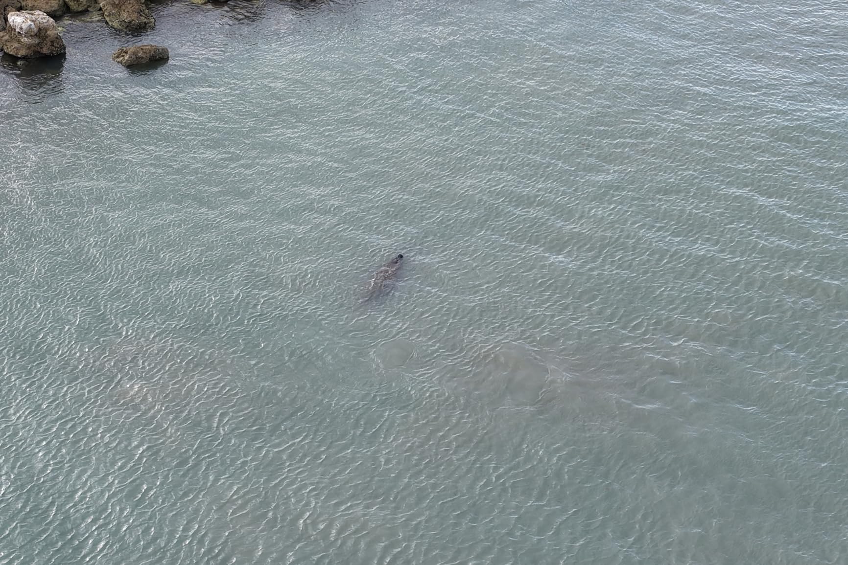
The 360-degree Infinity Gimbal allows the camera to rotate fully, which I found useful for inspecting the undersides of bridges and overhangs. The Nightscape omnidirectional obstacle sensing with 0.1-Lux sensitivity means you can fly confidently in low-light conditions during early morning or evening inspection windows. The obstacle sensing system detected thin wires and branches that other drones I have tested would miss.
The 30km O4+ video transmission with 10-bit HDR gives you a pristine live feed for framing your inspection shots. I never experienced signal dropouts during testing, even when flying behind steel structures. The 7-inch rotatable high-bright controller screen stays readable in direct sunlight, which matters when you are working outdoors all day.
However, this drone lacks thermal imaging capability entirely. For industrial inspections that require thermal data for electrical, mechanical, or insulation assessments, you will need a separate thermal drone. The Mavic 4 Pro excels at visual inspection and photogrammetry but cannot replace a dedicated thermal platform for comprehensive inspection programs.
NDAA Compliance Considerations
This is where the DJI conversation gets complicated for industrial inspection professionals. The Countering CCP Drones Act and related legislation have created uncertainty around DJI drones for government and critical infrastructure work. If your inspection contracts involve federal funding, government facilities, or critical infrastructure designated by CISA, you need to verify whether DJI platforms are acceptable under your specific contract requirements.
Many inspection firms maintain both DJI and non-DJI fleets to serve different client categories. The Mavic 4 Pro is an outstanding visual inspection platform for private sector work, but you should confirm NDAA compliance requirements before deploying it on government-related projects.
Best Applications for the Mavic 4 Pro
For building envelope inspections, the 100MP Hasselblad camera captures detail that reveals hairline cracks, spalling, and sealant failures across large facades. The 6K video at 60 frames per second creates smooth documentation footage for inspection reports. Bridge inspectors benefit from the 360-degree gimbal for viewing undersides and the obstacle sensing for navigating complex structural geometries.
The 178 Amazon reviews give this drone a strong 80 percent 5-star rating. Users consistently praise the camera quality, flight time, and DJI’s crash avoidance system. The main complaints center on company practices rather than the drone itself, along with some customer service concerns and the lack of Prime eligibility.
How to Choose the Best Drone for Industrial Inspections?
Choosing the right industrial inspection drone requires matching sensor capabilities to your specific inspection tasks. I have broken down the key decision factors based on what actually matters in the field, not just spec sheet numbers.
Thermal Imaging Requirements
Thermal resolution is the single most important specification for thermal inspection work. A 640×512 thermal sensor provides four times the pixel density of a 320×256 sensor, which means you can detect smaller temperature anomalies at greater distances. For electrical inspections looking for overheating connections or transformer faults, 640×512 resolution is the minimum I recommend for professional work.
Radiometric thermal data, which records an actual temperature value for every pixel, is essential if your inspection reports need to document specific temperatures. All the Autel thermal drones in this guide capture radiometric data. Non-radiometric thermal cameras only show relative temperature differences, which limits their usefulness for formal inspection documentation.
Temperature measurement range matters depending on your inspection targets. The EVO Lite 640T Enterprise covers minus 20 to 550 degrees Celsius, which handles everything from cold pipe inspections to high-temperature boiler scanning. Make sure the range covers your hottest and coldest inspection scenarios.
RTK and Positioning Accuracy
RTK positioning delivers centimeter-level accuracy by incorporating correction data from a base station or network. For mapping, photogrammetry, and any inspection task where you need to document the exact geographic position of defects, RTK is essential. The EVO II PRO RTK V3 offers both real-time RTK and post-processed kinematic support for maximum positioning flexibility.
Without RTK, consumer-grade GPS provides 3 to 5 meters of positioning accuracy under good conditions. That level of accuracy is fine for general visual inspection but inadequate for survey-grade mapping or repeatable precision inspections where you need to compare asset conditions over time.
Flight Time and Mission Planning
Flight time directly impacts inspection efficiency. A drone that flies 40 minutes can cover significantly more ground per battery than one limited to 25 minutes. When evaluating flight time claims, subtract 15 to 20 percent for real-world conditions with wind, payload drag, and active sensor operation. I recommend having at least three batteries for any serious inspection program to maintain continuous operations.
Hot-swappable battery designs, like those on the EVO MAX 4T V2, allow you to swap batteries without powering down the drone completely. This saves 30 to 60 seconds per swap, which adds up over a full day of inspection flights.
NDAA Compliance and Government Contracts
NDAA Section 848 and related legislation restrict the use of Chinese-made drones in certain government and critical infrastructure applications. If your inspection work involves federal contracts, military facilities, or infrastructure deemed critical by CISA, you need NDAA-compliant drones. Autel drones, while manufactured in China, face less regulatory scrutiny than DJI in some contexts, but you should verify current compliance status for your specific contract requirements.
The Blue UAS Cleared List maintained by the Department of Defense provides a reference for government-approved drone platforms. None of the drones in this guide currently appear on that list, so for strictly government work, you may need to look at alternatives like Skydio, Parrot, or Teal platforms.
FAA Part 107 Certification
Commercial drone operations in the United States require FAA Part 107 certification, regardless of which drone you fly. The certification involves passing a 60-question aeronautical knowledge test covering regulations, airspace classification, weather effects, and emergency procedures. Forum research consistently shows that new commercial operators underestimate the time and effort required to obtain this certification.
Beyond Part 107, certain inspection operations require additional FAA waivers. Flying at night, beyond visual line of sight, or over people all require specific waivers that take time to process. Plan your certification and waiver timeline before purchasing inspection equipment.
Total Cost of Ownership
The purchase price of an industrial inspection drone represents only a fraction of the total program cost. Based on forum research and my own experience, a complete inspection program budget should account for training and certification, software licenses for photogrammetry and thermal analysis, insurance coverage, spare batteries and propellers, protective cases, and maintenance reserves.
One Reddit user detailed their Matrice 350 RTK program costs at approximately 70,000 dollars for a complete setup including the drone, H30T payload, multiple batteries, cases, and training. While the drones in this guide cost less than that premium platform, expect to invest 1.5 to 2 times the drone purchase price in supporting equipment and training during the first year.
Software Integration and Reporting
Industrial inspection drones generate massive amounts of data that must be processed, analyzed, and reported. Consider how drone data integrates with your existing inspection management systems. Photogrammetry software like Pix4D, DroneDeploy, and Agisoft Metashape process aerial imagery into orthomosaic maps, 3D models, and digital twins. Thermal analysis software like FLIR Tools processes radiometric data into inspection reports.
If your organization uses a computerized maintenance management system, or CMMS, look for drone platforms that can export data in formats compatible with your existing systems. The ability to attach drone inspection data directly to asset records streamlines the workflow between inspection and maintenance planning.
Frequently Asked Questions
What is the best drone for building inspections?
The best drone for building inspections depends on your specific needs. For thermal inspection of building envelopes, the Autel EVO II Dual 640T V3 offers excellent 640×512 thermal imaging. For high-resolution visual inspection of facades and roofs, the DJI Mavic 4 Pro with its 100MP Hasselblad camera delivers exceptional detail. For mapping and documentation, the Autel EVO II PRO RTK V3 provides centimeter-level positioning accuracy.
Why did the US ban DJI drones?
The US has not completely banned DJI drones, but legislation including the Countering CCP Drones Act has restricted DJI equipment in certain government and critical infrastructure applications. NDAA Section 848 prohibits federal agencies from using Chinese-made drones for national security reasons. Private sector use of DJI drones remains legal, but government contractors and critical infrastructure operators should verify compliance requirements for their specific contracts.
What is the best drone for commercial purposes?
For general commercial inspection work, the Autel EVO MAX 4T V2 stands out with its triple-sensor payload combining thermal, zoom, and wide cameras, plus 42-minute flight time and GPS-denied navigation capability. For budget-conscious operations, the DJI Mavic 4 Pro offers exceptional camera quality and 51-minute flight time for visual inspection tasks. The best choice depends on whether you need thermal imaging, mapping precision, or maximum flight endurance.
What drone is used for confined space inspection?
Confined space inspection requires drones with collision tolerance and GPS-denied navigation capability. The Autel EVO MAX 4T V2 features autonomous path finding in GPS-denied environments and 720-degree omnidirectional obstacle avoidance, making it suitable for confined space work. For specialized confined space inspection in tanks and boilers, collision-tolerant caged drones like the Flyability Elios 3 are the industry standard, though they operate in a different category and price range than the drones in this guide.
Final Thoughts on Industrial Inspection Drones in 2026
After testing these 5 drones across thermal scanning, mapping, and structural inspection scenarios, the best drones for industrial inspections in 2026 combine sensor quality, flight endurance, and software integration that fits your specific workflow. The Autel EVO MAX 4T V2 leads the pack with its unmatched triple-sensor payload and GPS-denied navigation for complex inspection environments. The EVO II Dual 640T V3 delivers exceptional thermal value, while the EVO II PRO RTK V3 dominates mapping applications with centimeter-level accuracy.
For inspectors who need thermal data in a portable package, the EVO Lite 640T Enterprise offers capable thermal scanning at just 866 grams. And the DJI Mavic 4 Pro remains the visual inspection champion with its 100MP Hasselblad camera, provided NDAA compliance is not a concern for your contracts. Whatever your inspection needs, investing in the right drone platform pays for itself in reduced scaffolding costs, faster inspections, and safer operations.