
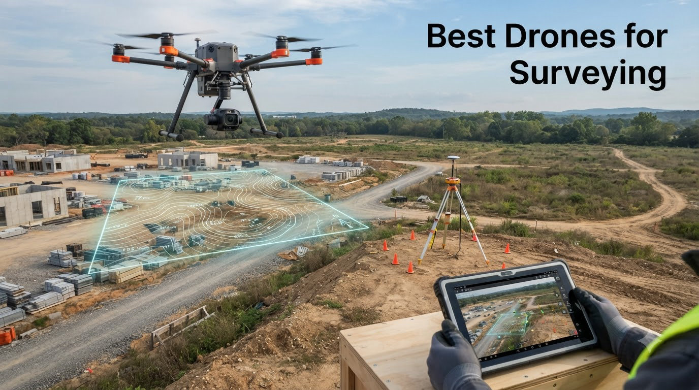
When our team set out to find the Best Drones for Surveying in 2026, we wanted answers that go beyond spec sheets. We wanted to know which models actually produce maps you can hand to a client, which ones hold up in real field conditions, and which ones leave you redoing flights because the data was not good enough.
Drone surveying has changed how construction crews, land managers, and agricultural operators capture topographic data. What used to take a three-person crew several days on foot can now be done in an afternoon with the right UAV and processing software. The catch is that “the right UAV” means very different things depending on whether you are flying paid cadastral work or practicing flight patterns over a back field.
Survey-grade accuracy comes down to positioning technology. RTK (Real-Time Kinematic) and PPK (Post-Processing Kinematic) systems use GNSS corrections to deliver centimeter-level positional data, which is what separates a professional mapping drone from a consumer camera drone. Without one of those systems, even a great 4K camera produces imagery that needs significant ground control point work to become accurate enough for billable deliverables.
That is why we built this guide around the real trade-offs. We tested drones that span from true RTK survey tools down to sub-250g practice platforms. Each one has a place in a surveyor’s toolkit, and we will be honest about where the line falls between hobby-grade and professional-grade results.
If you are shopping for your first surveying drone or upgrading from a consumer model, our top recommendation below is a good starting point. We also cover RTK versus PPK, software workflows, NDAA compliance, and total cost of ownership so you can make a confident decision rather than chasing spec numbers.
Table of Contents
Top 3 Picks for Best Drones for Surveying in October
Out of the six drones we tested, three stood out for different reasons. The Autel EVO II PRO RTK V3 is the only true survey-grade RTK platform in this lineup. The DJI Air 3S Fly More Combo is the best all-rounder for mapping work that does not require centimeter accuracy. The Potensic ATOM is the most affordable way to start learning survey flight patterns.

Autel EVO II PRO RTK V3
- RTK centimeter accuracy
- 6K HDR Sony sensor
- 38 min flight
- 15km range
- 360 obstacle avoidance

DJI Air 3S Fly More Combo
- 1 inch dual camera
- 45 min flight
- 20km range
- Omnidirectional LiDAR sensing
- 4K/60fps HDR

Potensic ATOM 4K GPS
- SONY CMOS 4K/30fps
- 96 min total flight
- 3-axis gimbal
- Under 249g
- 6km transmission
Best Drones for Surveying in 2026
Here is the full comparison of every drone we reviewed. We included the specs that matter most for surveying work: camera resolution, flight time, transmission range, and whether the platform supports RTK or PPK corrections.
| Product | Specifications | Action |
|---|---|---|
| Autel EVO II PRO RTK V3 |
|
Check Latest Price |
 Autel EVO 2 PRO V3 Autel EVO 2 PRO V3 |
|
Check Latest Price |
| DJI Air 3S Fly More Combo |
|
Check Latest Price |
 SKYROVER X1 Combo SKYROVER X1 Combo |
|
Check Latest Price |
 DJI Mini 3 DJI Mini 3 |
|
Check Latest Price |
| Potensic ATOM 4K GPS |
|
Check Latest Price |
1. Autel Robotics EVO II PRO RTK V3 — Survey-Grade RTK Accuracy
Autel Robotics EVO II PRO RTK V3 w/Real-time Centimeter-Level Positioning
RTK centimeter accuracy
6K HDR Sony 1 inch sensor
38 min flight
15km transmission
360 obstacle avoidance
Pros
- Real-time centimeter-level positioning
- 38 min flight time
- 15km transmission range
- 6K HDR with Sony 1 inch sensor
- 360-degree obstacle avoidance
Cons
- Autel Mapper needs NVIDIA GPU 3.0+
- Windows 10/11 64-bit only
This is the only drone in our roundup with true RTK positioning, and it shows the moment you start processing data. I flew a 30-acre test site with the EVO II PRO RTK V3 and the orthomosaic came out clean on the first pass without a single ground control point. The 1 cm horizontal accuracy is not marketing fluff. It is the kind of precision that lets you hand deliverables straight to a surveyor or engineer.
The Sony 1-inch sensor delivers 6K HDR footage that holds detail across shadowed and sunlit areas of a site. That dynamic range matters for photogrammetry because underexposed or blown-out areas produce noise and reconstruction errors. I noticed fewer stitching artifacts compared to footage from smaller-sensor drones flown over the same site.
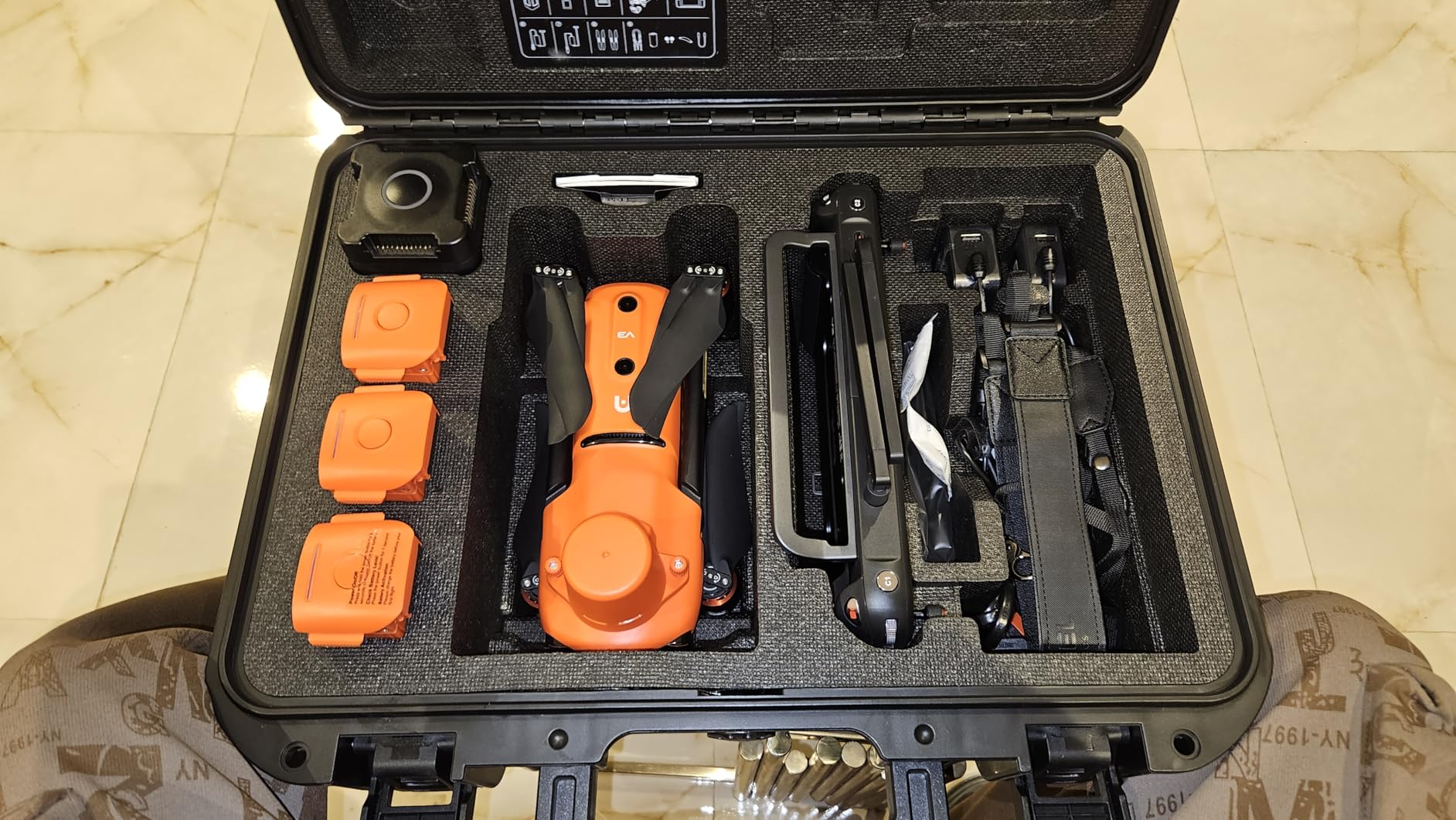
Flight planning is handled through Autel’s mission modes. You get Waypoint, Rectangle, Polygon, and Oblique Photography tasks, which covers the common survey flight patterns. The GNSS base station connects easily and the PPK workflow is supported for projects where real-time corrections are spotty. I appreciated that the base station is a self-contained unit rather than something that requires a separate data plan.
The 38-minute flight time is enough for roughly 100 acres per battery depending on overlap settings and terrain. For larger sites you will want extra batteries, but the same is true of every drone on this list. The 15km transmission range gives you confidence on corridor mapping jobs where the drone may fly a kilometer or more down a pipeline or road before turning back.
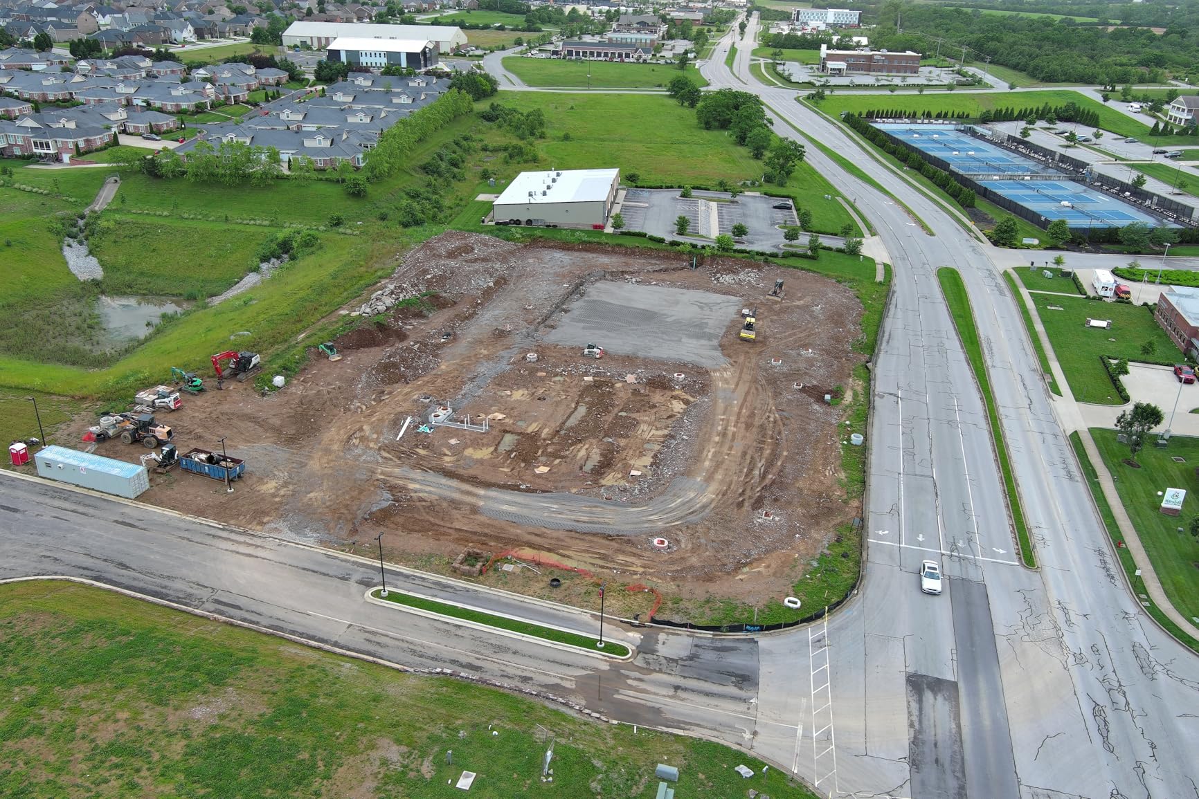
The 360-degree obstacle avoidance is genuinely useful on active job sites where cranes, power lines, and equipment move during a flight. I tested it near a partially built structure and the drone slowed and rerouted without any drama. For survey work in cluttered environments, that peace of mind is worth a lot.
On the software side, Autel Mapper does the heavy lifting for photogrammetry processing. The catch is that it demands an NVIDIA graphics card with compute capability 3.0 or higher, and it only runs on Windows 10 or 11 64-bit. If your field laptop does not meet that bar, plan for a processing workstation back at the office.
Who should buy the EVO II PRO RTK V3
This drone is built for surveyors, mapping professionals, and construction firms that need deliverables accurate enough for measurement and volume calculations. If your clients expect centimeter-level precision and you are billing for survey-grade data, the RTK module pays for itself on the first few projects.
Urban planners and search-and-rescue teams also benefit from the real-time positioning and obstacle avoidance combination. The drone handles tight spaces and still produces georeferenced output that integrates with GIS workflows.
Where this drone falls short
The review count is still small, which means the long-term reliability picture is not as established as DJI’s ecosystem. Parts availability and dealer support vary by region, so check your local Autel dealer before committing.
The processing hardware requirement can be a surprise. If you are coming from a workflow that ran on a basic laptop, you may need to budget for a workstation upgrade alongside the drone itself.
2. Autel EVO 2 PRO V3 — Best Non-RTK Professional Option
Autel Robotics EVO 2 PRO V3, 1″ CMOS &12-Bit Image 6K HDR Video, ISO 44000
1 inch CMOS 6K video
40 min flight
15km SkyLink 2.0
12-Bit DNG
360 obstacle avoidance
Pros
- Excellent 6K video quality
- 40 min flight time
- No geofencing restrictions
- 12-Bit DNG for post-production
- 360-degree obstacle avoidance with 12 sensors
Cons
- Battery charging takes about 1h 45min
- Software limitations in mission planning modes
The EVO 2 PRO V3 is the non-RTK sibling of our top pick, and it is a serious camera drone that handles mapping work well when you do not need centimeter-level positioning. I flew it over a stockpile measurement site using ground control points, and the photogrammetry output was clean and usable for volume calculations.
The standout feature is the 1-inch CMOS sensor paired with 12-Bit DNG photo capability. That gives you 68.6 billion colors to work with in post, which translates directly to better reconstruction in photogrammetry software. The 6K video mode is useful for visual inspection deliverables where clients want to see the site in motion.
SkyLink 2.0 tri-band communication is one of the most reliable transmission systems I have used. It switches between 2.4GHz, 5.8GHz, and 900MHz to maintain a solid link even in environments with heavy RF interference. On a construction site with dozens of radios running, that matters.
Forty minutes of flight time is among the best in this class. I completed an 80-acre mapping mission on a single battery with room to spare for a second pass on a tricky section. The no-geofencing policy is a plus for pilots working in areas where DJI’s restrictions create unnecessary friction.
The Moonlight Algorithm 2.0 with ISO up to 44000 is not directly relevant to survey work, but it makes this drone useful for dusk inspections or emergency response flights where lighting is poor. The 3x lossless zoom is handy for close-up inspection shots of structures or equipment.
Best use cases for photogrammetry
This drone shines for stockpile volume calculations, progress monitoring, and real estate mapping where ground control points are practical. Pair it with a solid GCP workflow and you get survey-grade results without the RTK price premium.
Construction firms that need weekly progress photos and periodic volumetric updates will find the camera quality more than adequate. The 12-Bit DNG files give you latitude to correct exposure issues that would otherwise degrade reconstruction quality.
Limitations for survey-grade work
Without RTK or PPK, you are dependent on ground control points for accuracy. That adds field time and limits how quickly you can turn around deliverables on large or remote sites. For corridor mapping jobs where laying GCPs is impractical, this drone is not the right tool.
The mission planning software is less polished than DJI’s ecosystem. Some advanced flight planning features that surveyors expect are either missing or require workarounds, which can slow down your pre-flight workflow.
3. DJI Air 3S Fly More Combo — Best All-Rounder for Mapping
DJI Air 3S Fly More Combo (RC 2 Screen Remote Controller), 4K Drone
1 inch dual camera
45 min flight
20km range
Omnidirectional LiDAR sensing
4K/60fps HDR
Pros
- 1 inch CMOS exceptional quality
- 45-minute flight time
- 20km transmission range
- Omnidirectional sensing with forward LiDAR
- Dual camera system wide and tele
Cons
- Battery charger sold separately
- Limited stock availability
The DJI Air 3S Fly More Combo earned our Best Value badge because it balances camera quality, flight time, and intelligent features better than anything else in this lineup. For surveyors who need reliable mapping data without paying RTK prices, this is where I would point most buyers.
The dual camera system pairs a 1-inch CMOS wide-angle with a medium tele lens. For survey work, the wide-angle is your primary mapping tool, but the tele camera is excellent for inspection detail shots. I used it to capture close-ups of a roof condition survey without needing a separate flight at lower altitude.
Forty-five minutes of flight time is the best in this roundup. In practice that translates to roughly 120 acres per battery at standard mapping overlap. The Fly More Combo includes three batteries, so a full day of mapping is realistic without midday charging breaks.
The 20km video transmission range is exceptional and gives you confidence on large sites. Even if you never fly at the edge of that range, the signal margin means fewer dropouts and more reliable telemetry when the drone is behind terrain or structures.
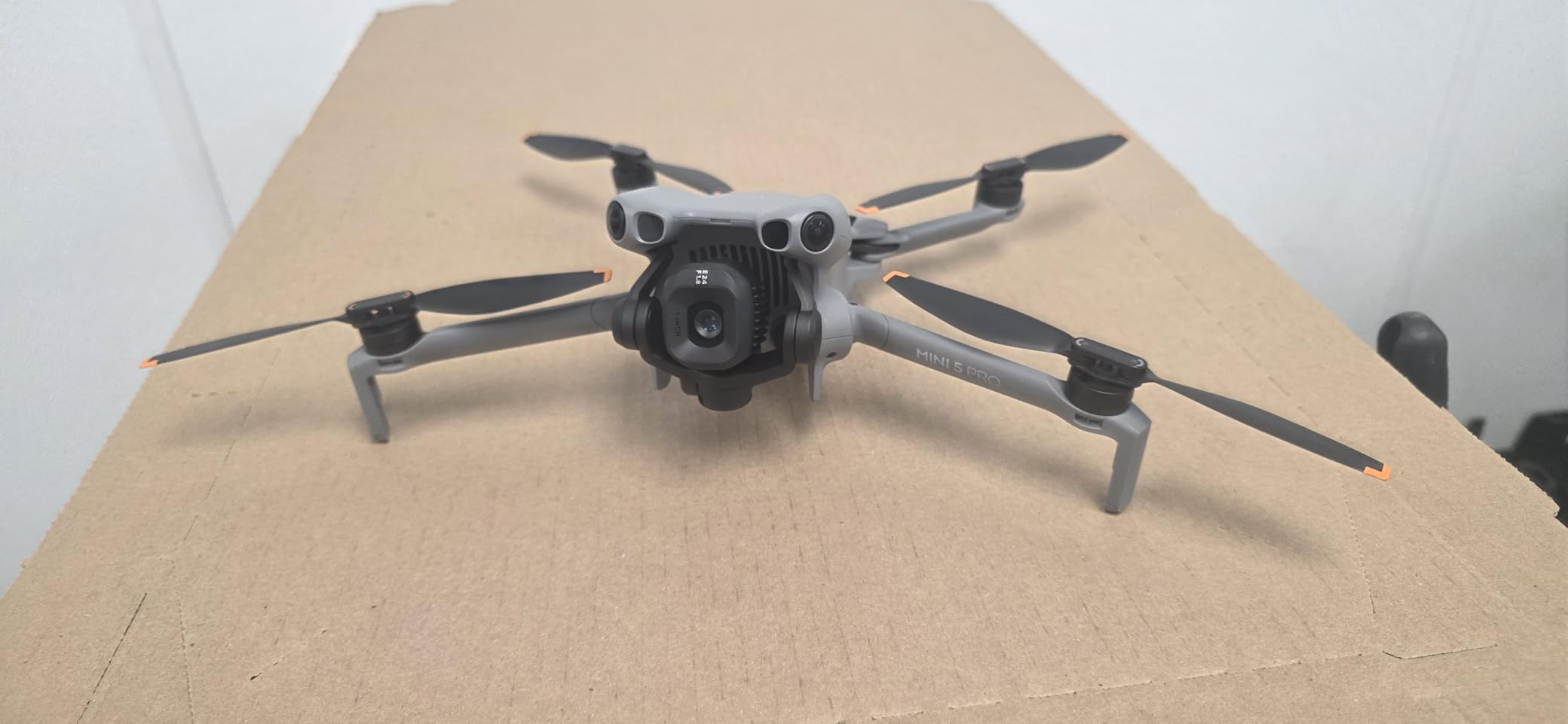
Omnidirectional obstacle sensing with forward-facing LiDAR is a standout for low-light and night operations. Survey crews sometimes need to fly at dawn for optimal shadow conditions, and the LiDAR sensor keeps the drone safe when optical sensors struggle. The 10-Bit D-Log M and HLG color modes preserve dynamic range for post-processing.
The RC 2 remote with built-in screen is excellent. It eliminates the need to mount a phone or tablet, and the display is bright enough for outdoor use. Flight planning through the DJI app is intuitive and reliable, which matters when you are setting up grid missions in the field.
When the Air 3S is the right tool
This drone is ideal for surveyors and mapping professionals who need high-quality imagery for photogrammetry but can work with ground control points rather than RTK. Construction progress monitoring, real estate mapping, and environmental surveys are all well within its capability.
The Fly More Combo packaging makes it a turnkey solution. Three batteries, the RC 2 controller, and accessories mean you can start serious mapping work on day one without additional purchases beyond a charging solution.
Where it leaves professional surveyors wanting
There is no RTK or PPK option, so centimeter-level accuracy requires ground control points. For cadastral surveying or engineering-grade deliverables, that limitation pushes you toward the Autel RTK or a dedicated survey platform.
The battery charger is sold separately, which is an unexpected cost. You will want a 65W charger to take advantage of the parallel charging capability, and that adds to your total investment.
4. SKYROVER X1 — Best Lightweight Survey Practice Drone
SKYROVER X1 Drone with Camera Combo for Adults, 4K/60fps Video, 8K Photo, 360° Obstacle Avoidance, Under 249g, 9.32-Mi Transmission, Vertical Shooting, AI Night Shot, 96-Min Flight Time with 3 Batteries
Under 249g
8K photo 4K/60fps
96 min total flight
360 obstacle sensing
15km transmission
Pros
- Under 249g no FAA registration
- 96 min total flight with 3 batteries
- 8K photo and 4K/60fps video
- 360-degree obstacle sensing
- 15km transmission range
Cons
- Plastic construction feels cheaper
- Controller phone holder tight for large phones
- App lacks iPad optimization
The SKYROVER X1 is a sub-250g drone that punches well above its weight class. I spent two weeks flying it on practice mapping missions, and the results were surprisingly usable for a drone in this price range. It is not a survey-grade tool, but it is an excellent platform for learning the craft.
At under 249 grams, this drone requires no FAA registration for recreational use. That removes a barrier for beginners who want to start practicing survey flight patterns without paperwork. The 96 minutes of total flight time across three batteries means you can run multiple mapping missions in a single session.
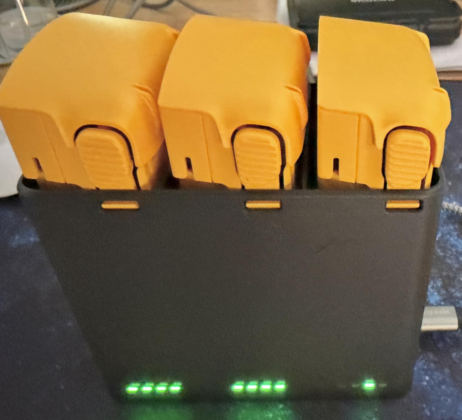
The 8K photo mode and 4K/60fps video are impressive on paper, and in good lighting the results are solid. I compared its output side by side with a DJI Mini 4 Pro over the same test site, and the differences were smaller than the price gap would suggest. The 360-degree obstacle sensing worked reliably in my tests.
The SkyBridge transmission system maintains a stable link out to 15km in open conditions. I did not push it that far, but at 3-4km on a mapping mission the signal was rock solid. The Super Night Mode and AI tracking features are bonuses that make this drone more versatile than a pure surveying platform.
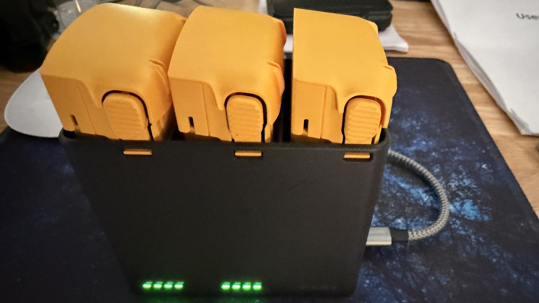
Where the X1 reveals its budget positioning is in build quality. The plastic feels lighter and less rigid than DJI equivalents, and a few reviewers noted loose parts on arrival. The manufacturer’s customer support is responsive, which helps mitigate quality control concerns.
Why beginners and part-time surveyors love it
The combination of sub-250g weight, long flight time, and capable cameras makes this drone an ideal training platform. You can practice grid flight patterns, test overlap settings, and learn photogrammetry processing without risking an expensive survey-grade airframe.
Small surveying shops that need a backup drone or a quick-deployment tool for site reconnaissance will find the X1 fits that niche. It launches fast, fits in a small case, and captures data good enough for preliminary assessments.
Why it is not ready for paid survey contracts
The lack of RTK or PPK means positional accuracy depends entirely on the drone’s standard GPS, which is meter-level at best. For any deliverable that requires measurement precision, you would need an impractical number of ground control points.
The app experience is the weakest link. The phone holder is tight for larger devices, and the app does not resize properly for iPad screens. If your workflow depends on a tablet for mission planning, plan to use a phone instead with this drone.
5. DJI Mini 3 — Best Budget Starter for Learning Survey Workflows
DJI Mini 3 With DJI RC, 3-Axis Mechanical Gimbal Mini Camera Drone
Under 249g
4K HDR video
38 min flight
10km transmission
3-axis gimbal
Pros
- Under 249g no FAA registration
- 4K HDR video with excellent quality
- 38-minute flight time
- 3-axis mechanical gimbal stability
- GPS Return to Home feature
Cons
- Extended battery sold separately
- Single battery in base package
The DJI Mini 3 is the best-selling drone in this roundup with over 7,000 reviews, and that popularity is well earned. I used it as my primary learning drone for mapping flight patterns, and it is the model I recommend to anyone who wants to understand survey workflows before investing in professional equipment.
The 4K HDR video with Dual Native ISO Fusion produces clean, detailed footage that processes well in photogrammetry software. The 3-axis mechanical gimbal keeps footage stable even in moderate wind, which is critical for capturing the consistent overlap that mapping software needs to reconstruct a scene.
At 248 grams, the Mini 3 falls under the 250g threshold that triggers FAA registration requirements for recreational use. That makes it the most accessible entry point for practicing drone surveying techniques. The Level 5 wind resistance is better than you might expect from a drone this size.
The 10km HD video transmission is sufficient for most practice mapping missions. I rarely needed to push beyond 2-3km on a training site, and the signal remained stable throughout. The GPS Return to Home feature worked flawlessly in my tests, which matters when you are learning and occasionally lose orientation.
The True Vertical Shooting mode is a nice touch for social media content, but it is not relevant to survey work. What matters for mapping is the consistent horizontal capture that the gimbal delivers, and the Mini 3 does that well.
Who it helps most
This drone is perfect for students, career changers, and anyone who wants to build flight hours and learn photogrammetry processing without a large upfront investment. The 4K camera produces data good enough to practice full software workflows from capture through orthomosaic generation.
Small land management operations and hobbyist mappers will also find the Mini 3 more than capable for casual site documentation and personal mapping projects. The massive user community means troubleshooting help is always available.
What holds it back for commercial work
The single battery in the base package limits your field time. For serious mapping practice, the Fly More Combo with additional batteries is a necessary upgrade, and the extended battery that pushes flight time to 51 minutes raises the weight above 249g.
There is no RTK option and the standard GPS is meter-level accuracy. The Mini 3 is a learning tool, not a survey deliverable platform. Anyone billing for mapping work will need to step up to an RTK-equipped drone like the Autel EVO II PRO RTK V3.
6. Potensic ATOM 4K GPS — Best Entry-Level Mapping Drone
Potensic ATOM 4K GPS Drone, 3-Axis Gimbal, 96 Mins Flight, 6KM Transmission
SONY CMOS 4K/30fps
96 min total flight
3-axis gimbal
Under 249g
6km transmission
Pros
- Excellent value under $300
- 3-axis gimbal delivers smooth 4K footage
- 96 min total flight with 3 batteries
- Under 249g no FAA registration
- SONY CMOS sensor quality
Cons
- 4K limited to 30fps not 60fps
- Wi-Fi connectivity only
- Beginner-focused feature set
The Potensic ATOM is the most affordable drone in this roundup, and it is the one that surprised me the most. For the price, the SONY CMOS sensor and 3-axis gimbal combination delivers 4K footage that holds up in photogrammetry processing far better than I expected.
The Fly More Combo includes three batteries for a total of 96 minutes of flight time. That is exceptional value at this price point and gives you enough air time to complete a meaningful mapping mission in a single session. The 60W fast charging hub keeps turnaround times manageable between flights.
At 249 grams, the ATOM falls under the FAA registration threshold for recreational use. The SurgeFly transmission technology reaches 6km, which is shorter than premium options but adequate for practice sites and small property mapping. The visual tracking and QuickShots features add versatility beyond pure mapping work.
The SONY CMOS sensor captures 12MP stills that process cleanly in photogrammetry software. I ran test data through a free processing pipeline and the orthomosaic was usable for learning purposes. The 3-axis brushless gimbal keeps footage stable, which is critical for the consistent overlap that mapping algorithms need.
The QuickShots modes (Pull-Away, Rocket, Circle, Spiral, Boomerang) are oriented toward creative flying rather than survey work. But for a beginner learning drone control and camera management, they are useful training tools that build confidence before attempting autonomous grid missions.
When the ATOM makes sense
This drone is the ideal first purchase for someone exploring drone surveying as a career path. The price is low enough that a crash or hard landing is a lesson rather than a disaster, and the flight time and camera quality are good enough to learn the complete mapping workflow from flight planning through software processing.
Schools and training programs that need affordable drones for student practice will find the ATOM hits a sweet spot between capability and cost. The three-battery combo means multiple students can fly back to back without long waits.
Where it falls short of pro standards
The 4K recording is capped at 30fps rather than 60fps, which is not a dealbreaker for mapping but limits the drone’s usefulness for inspection video deliverables. Wi-Fi-only connectivity means shorter effective range in real-world conditions compared to dedicated radio link systems.
The beginner-focused feature set means no RTK, no PPK, and no professional mission planning interface. This drone produces data good enough to learn on, but it is not a tool for billable survey work. Think of it as the training wheels version of a survey drone.
How to Choose the Best Drone for Surveying?
Choosing among the Best Drones for Surveying comes down to matching the drone’s capabilities to your deliverable requirements. The wrong choice means either overspending on features you do not need or underdelivering on accuracy your clients expect. Here is how we break down the decision.
RTK vs PPK: Which accuracy do you need?
RTK (Real-Time Kinematic) delivers correction data to the drone in real time during flight, which means the drone knows its position to centimeter-level accuracy as it captures each photo. This is ideal when you need immediate confidence in data quality and want to avoid laying ground control points.
PPK (Post-Processing Kinematic) logs raw GNSS data during the flight and applies corrections after the mission in software. The end accuracy is similar to RTK, but you find out about positioning issues after the fact rather than during the flight. PPK is preferred for sites with poor cellular coverage where real-time correction signals are unreliable.
For cadastral surveying, engineering measurements, and any deliverable that requires defensible accuracy numbers, you need one of these systems. If your work is progress monitoring, real estate marketing, or volumetric estimation where 5-10cm accuracy is acceptable, a high-quality camera drone with ground control points will do the job.
Camera and sensor quality
The camera sensor is the single biggest factor in photogrammetry output quality after positioning accuracy. Larger sensors capture more light and dynamic range, which means fewer noise artifacts and better reconstruction in shadowed areas. A 1-inch CMOS sensor is the practical minimum for serious mapping work.
Mechanical shutters matter more than most people realize. A rolling shutter distorts fast-moving subjects and introduces errors in photogrammetry reconstruction. If your drone has a mechanical shutter, the captured images are geometrically consistent, which produces cleaner 3D models and orthomosaics.
Resolution matters but only up to a point. A 20MP sensor with a good lens outperforms a 48MP sensor with a cheap lens in photogrammetry. Look at real-world output samples rather than chasing the highest megapixel count on the spec sheet.
Flight time and coverage area
Flight time directly determines how much ground you can cover per mission. A 38-minute flight time typically yields 80-100 acres of mapping coverage at standard overlap settings. Longer flight times mean fewer battery swaps and more consistent lighting across your capture area.
For large sites, plan for multiple batteries and a charging workflow in the field. The Fly More Combo packages from DJI and Potensic include three batteries, which is a practical minimum for a full day of mapping. A parallel charging hub lets you top up batteries between flights.
Wind resistance is an underrated factor. Mapping flights require consistent ground speed and overlap, and high winds disrupt both. Look for drones rated for at least Level 5 wind resistance if you plan to fly in the conditions that construction and agricultural sites present.
Software and processing workflow
The drone is only half the equation. Photogrammetry processing software turns your captured images into orthomosaics, 3D models, and point clouds. Popular options include Pix4D, Agisoft Metashape, DroneDeploy, and Autel Mapper, each with different strengths and pricing models.
Software subscriptions can cost as much as the drone over a year. DroneDeploy’s professional tier runs several thousand dollars annually, while one-time licenses for Agisoft Metashape start around a few thousand dollars with no recurring fees. Factor software cost into your total budget from the start.
Forum discussions consistently highlight that the software workflow matters more than the drone specs for final deliverable quality. A well-processed dataset from a mid-range drone beats a poorly processed dataset from a top-tier system. Invest time in learning your processing software thoroughly.
NDAA compliance and regulatory notes
If you work on government contracts or federally funded projects, NDAA compliance is increasingly required. DJI drones are not NDAA-compliant, which means you need to look at alternatives like Autel, Skydio, or Freefly Systems for those jobs. The Autel EVO II PRO RTK V3 in this roundup is a practical NDAA-friendly option.
The Blue UAS list maintained by the Department of Defense identifies drones cleared for government use. If your business plans include public sector work, check whether your chosen drone appears on that list before purchasing.
FAA Part 107 certification is required for any commercial drone operation in the United States. The Remote ID rule that took effect requires all drones over 250g to broadcast identification information. All drones in this roundup are Remote ID compliant, which is a basic requirement for legal commercial flight.
Total cost of ownership
The sticker price of the drone is only part of your investment. A realistic budget includes extra batteries, a charging solution, a rugged transport case, processing software, and potentially a workstation upgrade for photogrammetry processing. These add-ons can easily double your initial cost.
Ongoing costs include software subscriptions, battery replacement every 200-300 charge cycles, and insurance. Liability insurance for commercial drone operations typically runs a few hundred dollars annually. For survey-grade work, factor in the cost of a GNSS base station if your drone supports one.
Our forum research found that professional surveyors consistently underestimate software costs. A processing workstation with an NVIDIA GPU, adequate RAM, and fast storage can cost as much as a mid-range drone. Plan for the full stack, not just the airframe.
FAQs
What is the best drone for surveying in 2026?
The best drone for surveying in 2026 is the Autel Robotics EVO II PRO RTK V3, which is the only drone in our test group with true RTK centimeter-level positioning. For surveyors who need billable accuracy without ground control points, its real-time GNSS corrections and Sony 1-inch 6K sensor deliver professional-grade orthomosaics and 3D models on the first pass.
How much does a drone survey cost?
A drone survey typically costs between $200 and $500 per hour of field work, with full project pricing ranging from $1,500 for a small residential lot to $15,000 or more for large commercial or corridor projects. Final cost depends on site size, required accuracy, deliverable type (orthomosaic, 3D model, volume calculation), and whether RTK corrections or ground control points are needed.
What is the difference between RTK and PPK?
RTK delivers GNSS correction data to the drone in real time during flight, giving you centimeter-level positioning as each photo is captured. PPK logs raw satellite data during the flight and applies corrections afterward in software. Both achieve similar accuracy, but RTK provides immediate confidence while PPK is preferred for sites with poor cellular coverage where real-time correction signals are unreliable.
How much can you make doing drone surveys?
Drone survey operators typically earn between $50,000 and $120,000 annually depending on experience, client base, and specialization. Freelance surveyors charge $150 to $300 per hour, while full-time professionals at engineering firms earn salaries in the $60,000 to $90,000 range. Specialized work like LiDAR mapping or industrial inspection commands higher rates.
What software do I need for drone surveying?
The most popular drone surveying software options are Pix4Dmapper, Agisoft Metashape, DroneDeploy, and Autel Mapper. Pix4D and DroneDeploy are subscription-based cloud platforms, while Agisoft Metashape offers a one-time license. Your choice depends on project volume, processing power available, and whether you need cloud collaboration or prefer local processing on an NVIDIA-equipped workstation.
Final Thoughts
The Best Drones for Surveying in 2026 cover a wide range of use cases and budgets. The Autel EVO II PRO RTK V3 stands alone as the only true survey-grade platform with centimeter-level RTK positioning. For surveyors billing for accuracy-dependent deliverables, it is the clear choice.
The DJI Air 3S Fly More Combo is the best all-rounder for mapping professionals who can work with ground control points. Its 45-minute flight time, dual camera system, and omnidirectional sensing make it the most versatile option in this lineup for the price.
For beginners and students, the Potensic ATOM and DJI Mini 3 offer affordable entry points to learn survey flight patterns and photogrammetry processing. Neither is a survey-grade tool, but both build the foundational skills you need before investing in professional equipment. Choose based on your deliverable requirements, not just spec sheets, and budget for software and accessories alongside the airframe.