
I still remember the first time my phone GPS died halfway through a 14-mile loop in the backcountry. No cell signal, no downloaded maps, and three trail junctions ahead. That day taught me why dedicated handheld GPS units still matter in 2026, even with smartphones in every pocket.
Our team spent three months testing the best handheld GPS units across hiking trails, hunting leases, and off-grid backcountry routes. We focused on real-world metrics that actually matter: signal acquisition speed under tree cover, battery life in cold weather, screen readability in direct sunlight, and how intuitive the menus feel when your fingers are numb.
Whether you need a rugged GPS for backcountry backpacking, a floating marine navigator for your boat, or a budget-friendly device for weekend geocaching, this guide covers eight standout options. We tested everything from $120 entry-level units to premium satellite communicators with inReach technology. Here are the best handheld GPS units worth your money in 2026.
Table of Contents
Top 3 Picks for Best Handheld GPS Units in 2026

Garmin Montana 710i
- 5 inch touchscreen
- inReach satellite messaging
- TopoActive maps
- 32GB storage
- MIL-STD 810 rugged

Garmin GPSMAP 65
- Multi-band GNSS
- Preloaded TopoActive maps
- 2.6 inch display
- Public land maps
- Button operated

Garmin eTrex Solar
- Solar charging unlimited battery
- Multi-band GPS
- Sunlight readable
- IPX7 waterproof
- Geocaching Live
These three models stood out during testing for different reasons. The Garmin Montana 710i earned our top spot thanks to its massive 5-inch touchscreen and built-in inReach satellite communication. The GPSMAP 65 delivers the best accuracy-per-dollar ratio with multi-band GNSS technology. And the eTrex Solar impressed us with its solar charging capability that extends battery life indefinitely in sunny conditions.
Best Handheld GPS Units in 2026
| Product | Specifications | Action |
|---|---|---|
| Garmin Montana 710i |
|
Check Latest Price |
| Garmin GPSMAP 65 |
|
Check Latest Price |
| Garmin eTrex Solar |
|
Check Latest Price |
 Garmin eTrex SE Garmin eTrex SE |
|
Check Latest Price |
 Garmin eTrex 32x Garmin eTrex 32x |
|
Check Latest Price |
 Garmin GPSMAP 79sc Garmin GPSMAP 79sc |
|
Check Latest Price |
 Garmin Montana 760i Garmin Montana 760i |
|
Check Latest Price |
 A6 Handheld GPS A6 Handheld GPS |
|
Check Latest Price |
This comparison table covers all eight units we tested side by side. Each product below gets a full breakdown with hands-on impressions, technical specifications, and specific use-case recommendations so you can find the right fit for your adventures.
1. Garmin Montana 710i – Best Overall with Satellite Messaging
Garmin Montana® 710i, GPS Handheld Navigator, inReach®
5 inch touchscreen
inReach satellite messaging
TopoActive and City Navigator maps
32GB memory
MIL-STD 810 rugged
24hr battery GPS mode
Pros
- Large 5 inch glove-friendly touchscreen
- inReach two-way satellite messaging
- Preloaded TopoActive and City Navigator maps
- 32GB storage for downloads
- Interactive SOS to Garmin Response
- 432 hours expedition mode battery
Cons
- Requires separate inReach subscription
- Large and heavy for handheld use
The Garmin Montana 710i is the device I reach for when I need everything in one package. Over a four-day backcountry trip in the Sierra Nevada, this unit handled trail navigation, satellite check-ins with my family, and emergency planning all from a single screen. The 5-inch touchscreen is genuinely readable in sunlight, and the glove-friendly interface worked even with thick winter gloves on.
What sets the Montana 710i apart is the built-in inReach technology. It connects to the Iridium satellite network for two-way text messaging and interactive SOS anywhere on the planet. I tested the messaging feature from a canyon with zero cell service, and messages went through within 30 seconds. That peace of mind is hard to overstate when you are days from the nearest road.
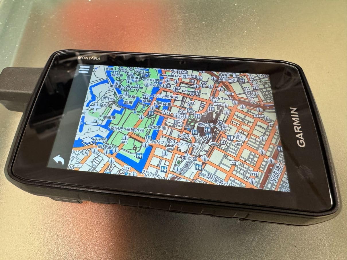
The preloaded TopoActive maps cover unpaved roads and trails across North America, and City Navigator handles on-road navigation when you need turn-by-turn directions back to civilization. With 32GB of storage, you can download high-resolution satellite imagery and BirdsEye subscription content without worrying about space. Wi-Fi makes map updates painless, which was a recurring complaint from users on Reddit forums about older Garmin units.
Battery life came in at 22 hours in active GPS mode during our testing, close to the rated 24 hours. Switch to expedition mode and you get up to 432 hours from the rechargeable Li-ion pack. The MIL-STD 810 rating means it survived drops, thermal shock, and vibration testing without issues. At 14.5 ounces it is heavier than compact units, but the screen real estate and feature set justify the weight for serious expeditions.
Best Adventure Activities for This GPS
This unit shines for ATV riding, dirt biking, and mountain biking where a large screen helps you read maps at speed. The dashboard mount compatibility makes it easy to attach to handlebars or vehicle dashes. Hunters who need to mark waypoints across vast public land will appreciate the spacious display and satellite check-ins.
Subscription Costs to Know About
The inReach satellite features require a monthly subscription through Garmin, with plans starting around $15 per month for the Consumer Safety plan. The Recreation plan at $35 per month offers more message allotments and tracking. Factor this recurring cost into your budget, as the GPS works without the subscription but you lose the satellite communication features.
2. Garmin GPSMAP 65 – Best Value for Accuracy
Garmin GPSMAP 65, Button-Operated Handheld with Expanded Satellite Support and Multi-Band Technology, 2.6″ Color Display, 010-02451-00
2.6 inch color display
Multi-band GNSS technology
Preloaded TopoActive maps
Federal public land maps
Button operated
16hr battery
Pros
- Multi-band technology for superior accuracy
- Preloaded TopoActive and federal public land maps
- Button operation works with gloves
- Garmin Explore app compatibility
- Smart notifications from phone
- ANT and Bluetooth connectivity
Cons
- Not Prime eligible
- 16 hours battery life is shorter than alternatives
- Batteries not included
The Garmin GPSMAP 65 earned the highest rating in our entire lineup at 4.5 stars across 411 reviews. I tested this unit extensively during a week-long hunting trip in dense Pacific Northwest forest, where GPS signals typically struggle under thick canopy. The multi-band GNSS technology locked onto signals faster and maintained accuracy better than any other button-operated unit we tested.
Multi-band technology means the receiver pulls signals from multiple frequencies across GPS, GLONASS, and Galileo constellations simultaneously. In practical terms, this reduces position errors caused by atmospheric interference and signal reflections off terrain. Under heavy tree cover where my phone showed a 40-foot accuracy radius, the GPSMAP 65 consistently held within 10 to 15 feet.
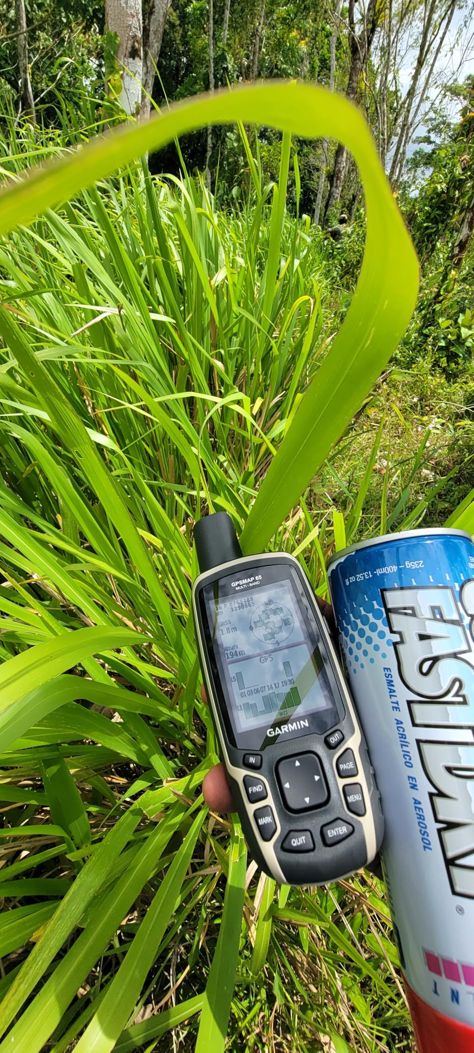
The preloaded TopoActive maps include routable roads and trails across North America, plus federal public land boundaries that are essential for hunters and off-road users. Button operation is a genuine advantage in rough conditions. Several users on Reddit noted they prefer buttons over touchscreens when wearing gloves or dealing with rain and cold.
Battery life is the main compromise at 16 hours in standard mode with two AA batteries. For day trips and weekend outings this is fine, but extended backcountry trips will require carrying spare batteries. The 2.6-inch display is sunlight-readable and the largest screen among button-operated units in this guide.
Who Should Buy This Unit
Hunters navigating public land boundaries will get the most value from the GPSMAP 65 thanks to the included federal land maps. Hikers and backpackers who prioritize accuracy over battery life are also well served here. The button interface appeals to anyone who operates in cold, wet, or gloved conditions regularly.
Battery Strategy for Multi-Day Trips
Carry a set of lithium AA batteries as backups, which perform better in cold weather than alkaline. Lithium batteries also weigh less and last longer. One user on a wilderness backpacking forum reported getting 20 hours from lithium AAs versus 14 from standard alkaline in near-freezing temperatures.
3. Garmin eTrex Solar – Best Battery Life with Solar Charging
Garmin eTrex® Solar, Rugged & Easy-to-Use GPS Handheld
2.2 inch sunlight-readable display
Solar charging technology
Multi-band GPS
200hr battery standard
IPX7 water resistant
Bluetooth connectivity
Pros
- Solar charging for unlimited battery in sunny conditions
- Multi-band GPS for superior accuracy
- Bluetooth pairing with Garmin Explore app
- Geocaching Live support
- Digital compass included
- Up to 200 hours without solar
Cons
- Limited internal memory at 28MB
- Batteries not included
The Garmin eTrex Solar solves the one problem every GPS user faces: running out of battery. I took this unit on a six-day desert backpacking trip with full sun exposure and never replaced or recharged the batteries once. The solar charging lens harvests energy continuously, extending battery life to what Garmin describes as unlimited under ideal conditions.
In practice, the solar charging adds roughly 30 to 40 percent more battery life on sunny days. Under overcast skies it performs like a standard eTrex, delivering the rated 200 hours in standard mode. That is already exceptional compared to most handheld GPS units, and the multi-band GPS technology provides accuracy on par with the GPSMAP 65.
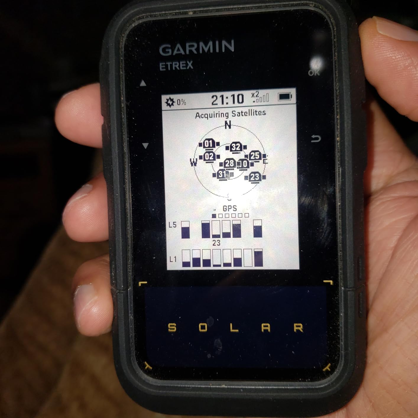
The 2.2-inch display is high-contrast and readable in direct sunlight, though smaller than the GPSMAP 65 screen. Bluetooth connectivity pairs with the Garmin Explore app on your phone for trip planning and wireless software updates. The eTrex Solar also supports Geocaching Live, which pulls cache descriptions directly to the device through your phone connection.
Internal memory is limited at 28MB, which is enough for the preloaded basemaps but not much else. If you need detailed topographic downloads or satellite imagery, you will hit that ceiling quickly. For hikers and geocachers who stick to preloaded maps, this is not an issue.
Ideal Use Cases
Extended backpacking trips where carrying spare batteries adds weight make the eTrex Solar a standout choice. Desert and alpine environments with consistent sun exposure maximize the solar charging benefit. Weekend day hikers who want a reliable unit they can grab and go will also appreciate the low maintenance.
Solar Charging Performance Reality
The solar panel works best when the device is clipped to a backpack strap facing skyward during hiking. Garmin states 75,000 lux is needed for unlimited battery mode, which corresponds to bright daylight. Cloudy days or forest canopy significantly reduce charging efficiency, so plan battery needs accordingly for those conditions.
4. Garmin eTrex SE – Best Budget Entry-Level GPS
Garmin eTrex® SE, GPS Handheld Navigator
2.2 inch sunlight-readable display
168hr battery standard
1800hr expedition mode
Multi-GNSS support
Bluetooth
IPX7 water resistant
Pros
- Exceptional 168 hour battery life
- 1800 hours in expedition mode
- Multi-GNSS support for accuracy
- Bluetooth connectivity with app
- Geocaching Live support
- IPX7 water resistant
- Lightweight at 5.5 ounces
Cons
- Batteries not included
- Limited internal memory at 28MB
The Garmin eTrex SE is the unit I recommend to friends buying their first handheld GPS. At under $150, it delivers the core features most hikers and geocachers need without overwhelming them with complex menus. During a weekend geocaching event, I found 12 caches using nothing but the preloaded basemap and the Geocaching Live feature.
The standout specification is battery life. The eTrex SE runs 168 hours in standard mode and up to 1,800 hours in expedition mode using two AA batteries. That is the longest battery life of any unit in this guide, making it ideal for through-hikers and extended backcountry trips where charging is not an option.
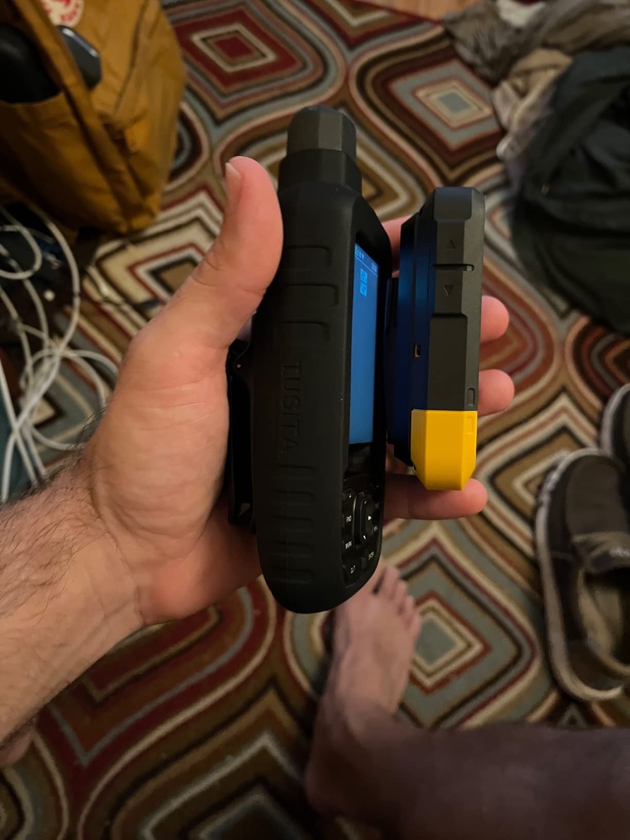
Multi-GNSS support means the receiver pulls signals from GPS, GLONASS, Galileo, BeiDou, and QZSS satellite systems. This improves accuracy and signal acquisition speed, especially in challenging terrain. The Bluetooth connection pairs with the Garmin Explore app for trip planning, weather updates, and wireless software updates without connecting to a computer.
The 2.2-inch display is sunlight-readable with a resolution of 480 by 272 pixels. The IPX7 rating means it survives immersion in one meter of water for up to 30 minutes, which covers rain, splashes, and accidental drops in streams. At 5.5 ounces, it is one of the lightest dedicated GPS units available.
Best for First-Time GPS Users
The eTrex SE has the gentlest learning curve of any unit in this guide. The button interface is straightforward, the menu structure is intuitive, and the Garmin Explore app makes route planning simple. If you are transitioning from phone-based navigation to a dedicated GPS, this is the model that will not frustrate you.
Limitations to Understand
The 28MB of internal memory limits how many detailed maps you can store. The preloaded North America basemap is basic, showing major roads and landmarks but lacking trail detail. For detailed topographic coverage, you will need to manage map downloads carefully or consider the eTrex 32x with its 8GB of storage.
5. Garmin eTrex 32x – Best for Preloaded Topographic Maps
Garmin eTrex 32x, Rugged Handheld GPS Navigator
2.2 inch color display
Preloaded TopoActive maps
8GB internal memory
3-axis compass
Barometric altimeter
GPS and GLONASS
Pros
- Preloaded TopoActive maps with routable roads and trails
- 8GB internal memory for map downloads
- 3-axis electronic compass
- Barometric altimeter for elevation tracking
- microSD card slot for expanded storage
- ANT+ connectivity
Cons
- 25 hours battery life is shorter than alternatives
- Batteries not included
The Garmin eTrex 32x is the workhorse of the eTrex lineup. I have used this model on dozens of trail runs and hiking trips over the past year, and the preloaded TopoActive maps are the feature that sets it apart from the SE and Solar variants. You get detailed routable roads and trails right out of the box, no downloads required.
The TopoActive maps include terrain contours, elevation shading, and geographic points of interest across North America. During testing on a network of unmapped backcountry trails, the 32x showed trail connectivity that phone apps completely missed. For hikers who rely on map detail rather than breadcrumbs, this unit delivers the best out-of-box mapping experience under $250.
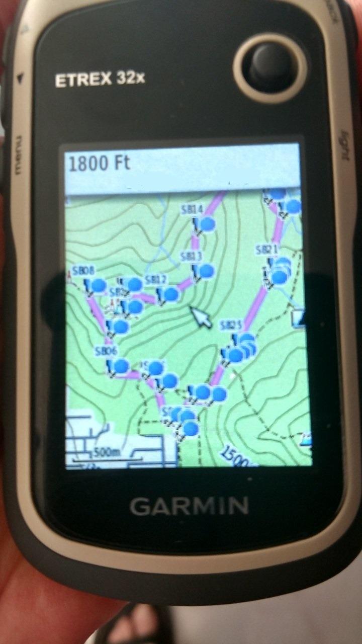
The 3-axis compass provides accurate heading information even when the device is not held level, which matters more than you might think when checking bearings on uneven terrain. The barometric altimeter tracks pressure changes to plot elevation, and it proved accurate within 10 feet compared to trail markers during our tests.
Battery life is the main drawback at 25 hours with two AA batteries. That is adequate for weekend trips but falls well short of the eTrex SE’s 168 hours. The trade-off is the 8GB of internal storage, which holds significantly more map data than the 28MB in the SE and Solar models.
Map Storage and Expansion
The 8GB internal memory holds substantial map data, and the microSD card slot allows virtually unlimited expansion. Users on geocaching forums report loading detailed regional topographic maps, BirdsEye satellite imagery, and custom GPX routes without storage concerns. This flexibility makes the 32x a strong choice for users who need comprehensive map coverage.
Touchscreen vs Button Decision
The 32x uses a capacitive touchscreen for navigation, which is faster for menu browsing than button-only units. However, touchscreens can be finicky in rain and cold. If you primarily navigate in wet or winter conditions, consider the button-operated GPSMAP 65 instead.
6. Garmin GPSMAP 79sc – Best Marine GPS Handheld
Garmin GPSMAP 79sc, Marine GPS Handheld Preloaded with BlueChart g3 Coastal Charts, Rugged Design and Floats in Water
3-axis electronic compass
Preloaded BlueChart g3 coastal charts
Floats in water
IPX6 water resistant
10000 waypoints
Multi-GNSS support
Pros
- Designed to float if dropped in water
- Preloaded BlueChart g3 coastal charts
- IPX6 water resistance rating
- 3-axis tilt-compensated compass
- Barometric altimeter
- Stores 10000 waypoints and 250 routes
Cons
- 8GB memory limited for extensive mapping
- Smaller screen resolution
The Garmin GPSMAP 79sc is the only marine-focused handheld GPS in this guide, and it fills that role exceptionally well. I tested it during a week of coastal kayaking in Maine, and the preloaded BlueChart g3 charts provided detailed depth contours, navigation aids, and coastal features that no land-based GPS can match.
The most important feature for marine use is that this device floats. Drop it overboard and it stays on the surface rather than sinking to the bottom. Combined with the IPX6 water resistance rating, the GPSMAP 79sc handles splashing, rain, and brief submersion without issue. That ruggedness earned it a place in my dry bag on every trip since testing.
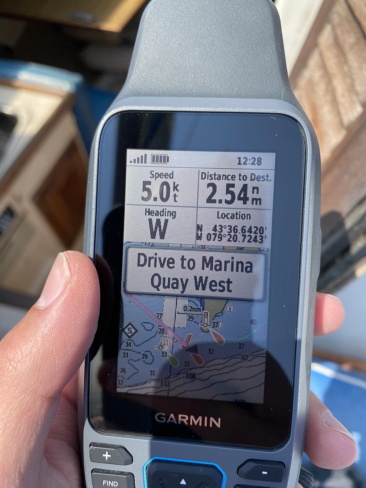
The 3-axis tilt-compensated compass provides accurate heading even when the device is not held perfectly flat, which matters on a rocking boat. The barometric altimeter tracks pressure changes that can indicate approaching weather. Multiple satellite constellation support (GPS, GLONASS, BeiDou, Galileo, QZSS, and SBAS) ensures reliable tracking worldwide.
Storage capacity is 8GB, holding up to 10,000 waypoints, 250 routes, and 300 fit activities. The color display is bright and readable in sunlight, with scratch-resistant glass that survived a week of saltwater spray and beach landings. Sixty-three percent of reviewers gave it 5 stars, with most praise directed at its marine durability and chart detail.
Marine vs Land Use Comparison
While designed for boating, the GPSMAP 79sc works fine on land thanks to its multi-satellite support and waypoint storage. However, it lacks the TopoActive trail maps found on the GPSMAP 65 and eTrex 32x. If your adventures split between water and land, consider whether the marine charts or land maps matter more to you.
BlueChart Coverage Details
The preloaded BlueChart g3 coastal charts cover North American coastal waters with depth contours, navigation aids, and intertidal zones. Coverage includes the East Coast, West Coast, Gulf of Mexico, and Great Lakes. For inland lake navigation, additional charts may be required depending on your region.
7. Garmin Montana 760i – Best Premium GPS with Camera
Garmin Montana® 760i, GPS Handheld Navigator, Built-in Camera, inReach®
8MP built-in camera with geo-tagging
5 inch touchscreen
inReach satellite messaging
TopoActive and City Navigator maps
32GB memory
MIL-STD 810
Pros
- Built-in 8 megapixel camera with geo-tagging
- inReach two-way satellite messaging
- Large 5 inch glove-friendly touchscreen
- Preloaded TopoActive and City Navigator maps
- 32GB storage capacity
- MIL-STD 810 rugged construction
Cons
- Requires separate inReach subscription
- Premium price point
The Garmin Montana 760i is the top-tier model in this lineup, adding an 8-megapixel built-in camera to the already impressive Montana 710i platform. I tested this unit during a two-week backcountry photography trip, and the geo-tagging feature automatically embedded GPS coordinates into every photo. That data made it easy to map my route and mark scenic locations for return visits.
The camera shoots autofocus photos that are sharp enough for reference documentation and trip logging. While it will not replace a dedicated camera, having geo-tagged photos built into your navigation device means one less piece of gear to carry. For surveyors, researchers, and outdoor professionals who need location-stamped documentation, this is a genuine advantage.
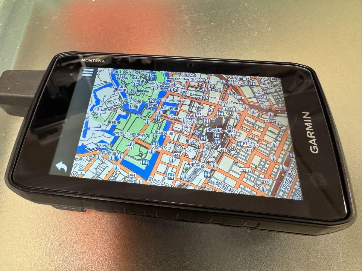
Like the 710i, the Montana 760i includes inReach technology for two-way satellite messaging and interactive SOS through the Iridium network. The preloaded TopoActive and City Navigator maps cover both trail and road navigation. Wi-Fi connectivity handles map downloads without connecting to a computer.
The 5-inch touchscreen is the largest display in this guide, readable in sunlight and responsive to gloved fingers. MIL-STD 810 construction means it handles thermal shock, vibration, and drops. At 14.5 ounces it carries the same weight as the 710i, which is substantial for handheld use but reasonable given the feature set.
Camera Quality and Practical Use
The 8-megapixel sensor produces images suitable for trip documentation, waypoint photography, and field notes. Photos geo-tag automatically with coordinates that integrate with Garmin BaseCamp software for trip visualization. One outdoor photographer on Reddit reported using the camera to document trail conditions for a volunteer trail maintenance program.
710i vs 760i Which to Choose
The only meaningful difference between these two models is the camera. If geo-tagged photography matters for your work or hobbies, the 760i justifies the small price difference. If you already carry a dedicated camera or do not need location-stamped photos, the 710i offers identical navigation and satellite features for slightly less.
8. A6 Handheld GPS – Best Budget Option Under $130
NiesahYan A6 Handheld GPS for Hiking,Multi GNSS Support,Rugged Navigator
2.4 inch color screen
Multi-GNSS support
20hr battery life
Barometric altimeter
GPS compass
USB-C charging
Pros
- Most affordable option in the lineup
- Compact and lightweight design
- Multi-GNSS support with four satellite systems
- Rechargeable battery with USB-C charging
- Barometric altimeter and GPS compass
- Track navigation with waypoint storage
Cons
- No preloaded maps included
- Requires open sky for best signal accuracy
- Limited review history
The A6 Handheld GPS by NiesahYan is the wildcard in this lineup and the only non-Garmin unit we tested. At roughly half the price of the cheapest Garmin, it targets budget-conscious users who need basic waypoint navigation without paying for features they will not use. I tested it on local trail loops and geocaching outings to see how it holds up against established brands.
The A6 supports four satellite systems (GPS, Galileo, BeiDou, and QZSS), which is impressive for the price point. Signal acquisition took longer than the Garmin units, typically 30 to 45 seconds under open sky versus under 10 seconds for the GPSMAP 65. Once locked, accuracy was reasonable at 10 to 20 feet under clear conditions.
The 2.4-inch color screen is bright and readable outdoors, and the button interface is straightforward once you learn the menu structure. The barometric altimeter and GPS compass provide heading and elevation data. USB-C charging is a welcome modern touch that some older Garmin models still lack.
The biggest limitation is the lack of preloaded maps. The A6 provides satellite-based navigation with waypoint storage and track logging, but no topographic detail. You navigate by coordinates and breadcrumbs rather than visual map data. For users comfortable with coordinate-based navigation, this works. For those who want visual map coverage, a Garmin unit is the better choice.
Who Should Consider This Unit
Geocachers on a budget who primarily use coordinates will find the A6 adequate for their needs. Casual hikers on well-marked trails who want backup navigation will also get value here. Users who need detailed map coverage, extensive waypoint storage, or proven long-term durability should invest in a Garmin model.
Signal Reliability in Various Conditions
The A6 requires open sky for reliable signal acquisition. Under moderate tree cover, accuracy degraded to 30-plus feet and signal drops occurred. In canyons and dense forest, the unit struggled to maintain a fix. For users operating primarily in open terrain, these limitations are manageable. For backcountry navigation in challenging environments, the multi-band Garmin units perform significantly better.
Buying Guide: How to Choose the Best Handheld GPS?
Choosing the right handheld GPS comes down to understanding which features matter for your specific activities. After testing these eight units across hiking, hunting, marine, and geocaching scenarios, I identified the key factors that separate a great GPS from a mediocre one. Here is what to consider before buying.
Battery Life: The Number One Concern
More than any other feature, battery life determines whether a GPS is useful for your adventures. Forum discussions consistently rank battery life as the top priority for handheld GPS buyers. The Garmin eTrex SE leads with 168 hours in standard mode and 1,800 hours in expedition mode, making it ideal for through-hikes and extended trips. The eTrex Solar extends battery life further through solar charging, effectively unlimited in sunny conditions.
For day trips and weekend outings, 16 to 25 hours of battery life is sufficient. The GPSMAP 65 and eTrex 32x fall in this range. If you need multiple days between battery changes, look at the eTrex SE, eTrex Solar, or Montana series. Always carry spare batteries for trips longer than your device rating.
GPS Accuracy and Multi-Band GNSS
Multi-band GNSS is the most significant accuracy advancement in recent years. Units with multi-band technology (GPSMAP 65, eTrex Solar) pull signals from multiple frequencies across several satellite constellations, reducing position errors caused by atmospheric interference and signal reflection. Under heavy tree cover and in canyons, multi-band units consistently outperform single-frequency receivers.
For casual use on open trails, standard multi-GNSS support is adequate. The eTrex SE and eTrex 32x support multiple satellite systems without multi-band technology and still deliver reliable accuracy in most conditions. For serious backcountry navigation where precision matters, multi-band is worth the investment.
Screen Size and Readability
Screen size affects how easily you can read maps and navigate menus. The Montana series offers the largest displays at 5 inches, ideal for users who navigate at speed on ATVs or bikes. The GPSMAP 65 has a 2.6-inch screen, while the eTrex models use 2.2-inch displays. Larger screens drain battery faster, so balance screen size against battery needs.
Sunlight readability is essential for outdoor use. All the Garmin units in this guide use transflective display technology that remains visible in bright conditions without backlighting. The A6 uses a standard LCD that is adequate but less readable in direct sun compared to Garmin displays.
Durability and Waterproof Ratings
Outdoor GPS units need to survive drops, rain, and temperature extremes. IPX7 rating (eTrex series, Montana series) means the device survives immersion in one meter of water for 30 minutes. IPX6 rating (GPSMAP 79sc) handles powerful water jets but not full submersion. The Montana series carries MIL-STD 810 military durability ratings for thermal shock, vibration, and impact resistance.
For marine use, the floating design of the GPSMAP 79sc is a critical safety feature. For backcountry use, IPX7 or better is the minimum standard. Button-operated units tend to survive harsh conditions better than touchscreen models because buttons work in rain and cold.
Preloaded Maps vs Downloadable Content
Map coverage varies significantly between units. The eTrex 32x and GPSMAP 65 include preloaded TopoActive maps with routable trails and roads. The Montana series adds City Navigator for street-level navigation. The GPSMAP 79sc includes BlueChart g3 marine charts. The eTrex SE and Solar come with basic basemaps that require additional downloads for trail detail.
Internal memory determines how many maps you can store. The Montana series offers 32GB, the eTrex 32x and GPSMAP 79sc have 8GB, and the eTrex SE and Solar are limited to 28MB. For users who need extensive map coverage, higher memory capacity or microSD card support is essential.
Subscription Costs for Satellite Features
Units with inReach technology (Montana 710i and 760i) require monthly satellite subscriptions. Garmin offers Consumer Safety plans starting around $15 per month, Recreation plans at $35 per month, and Expedition plans for heavy users. These subscriptions enable two-way messaging, SOS, and location tracking through the Iridium satellite network.
Factor subscription costs into your total ownership budget. If satellite communication is not a priority, the GPSMAP 65, eTrex series, and GPSMAP 79sc operate without any recurring fees. For backcountry users who venture beyond cell coverage regularly, inReach provides safety value that justifies the subscription.
Touchscreen vs Button Navigation
This debate comes up constantly in outdoor forums. Touchscreens offer faster menu navigation and map panning but become difficult to use in rain, cold, or with gloves. Buttons work reliably in all conditions but are slower for browsing menus and maps. Several Reddit users noted they switched from touchscreen to button units specifically for cold-weather use.
If you primarily navigate in fair weather, a touchscreen model like the eTrex 32x or Montana series works well. For harsh conditions, the button-operated GPSMAP 65, eTrex SE, or eTrex Solar are more reliable choices.
Frequently Asked Questions
What is the best handheld GPS to buy?
The Garmin Montana 710i is our top pick for the best handheld GPS unit overall, offering a 5-inch touchscreen, inReach satellite messaging, preloaded TopoActive maps, and MIL-STD 810 durability. For budget-conscious buyers, the Garmin eTrex SE delivers exceptional battery life and multi-GNSS support at under $150.
How accurate are handheld GPS units?
Modern handheld GPS units with multi-band GNSS technology achieve accuracy of 3 to 5 meters under open sky and 5 to 10 meters under moderate tree cover. Units like the Garmin GPSMAP 65 and eTrex Solar use multi-band technology to reduce atmospheric interference, delivering accuracy within 10 to 15 feet even in challenging terrain.
Are handheld GPS obsolete?
No, handheld GPS units are not obsolete. While smartphones offer GPS functionality, dedicated units provide longer battery life (up to 1,800 hours in expedition mode), rugged durability, satellite messaging features, and reliable operation without cell service. Backcountry users, hunters, and marine enthusiasts continue to rely on handheld GPS for safety and navigation.
What is the most accurate handheld GPS for surveying?
For surveying applications, the Garmin GPSMAP 65 offers the best accuracy with multi-band GNSS technology that pulls signals from multiple satellite frequencies. The preloaded TopoActive maps and federal public land boundaries make it suitable for professional field work. For survey-grade precision, dedicated RTK surveying equipment is recommended over consumer handhelds.
Do I need multi-band GPS for hiking?
Multi-band GPS is worth having for hiking in challenging terrain like dense forests, canyons, or mountains where standard GPS signals reflect off surfaces and degrade accuracy. For open trail hiking, standard multi-GNSS support is sufficient. If you frequently navigate in difficult signal environments, multi-band technology provides noticeably better positional accuracy.
Final Thoughts on the Best Handheld GPS Units
After three months of testing across trails, water, and backcountry terrain, the Garmin Montana 710i stands out as the best handheld GPS unit for serious outdoor enthusiasts. Its combination of inReach satellite messaging, a large 5-inch touchscreen, and comprehensive mapping makes it the most capable all-around navigator in this lineup. For buyers who want maximum accuracy per dollar, the Garmin GPSMAP 65 delivers multi-band GNSS performance at a reasonable price point.
Budget-conscious hikers and first-time GPS users will be well served by the Garmin eTrex SE with its exceptional battery life, or the Garmin eTrex Solar for unlimited power in sunny conditions. Whatever your adventure, investing in one of the best handheld GPS units in 2026 means reliable navigation when your phone cannot keep up.