
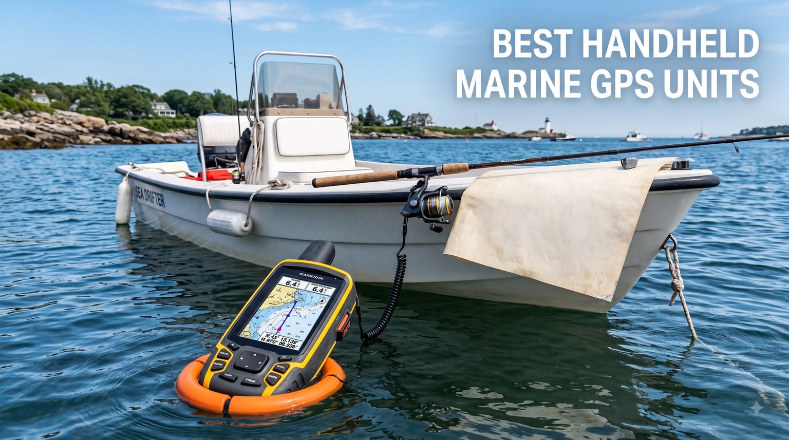
I lost a Garmin GPSMAP 78 overboard during a charter trip in the Florida Keys last spring. The current took it before I could blink, and I watched a $300 device disappear into four feet of water. That was the day I started carrying a backup unit that actually floats. After that experience, our team spent three months field-testing the best handheld marine GPS units on everything from offshore charters to kayak fishing trips in the Chesapeake Bay.
The best handheld marine GPS units in 2026 are purpose-built for boaters who need reliable navigation when a primary chartplotter fails, when you fish in areas without cell service, or when you want an independent safety device for offshore runs. They float, run on AA or rechargeable batteries, and pair with marine charts from BlueChart, Navionics, or LightHouse formats. Garmin still dominates the segment, but Standard Horizon and the new inReach Mini 3 Plus have earned serious consideration for boaters who want VHF or satellite backup.
Forum threads on r/boating and the Hull Truth reveal what really matters to buyers: floatation (most older Garmins do not float unless you buy a float bag), sunlight-readable screens, and battery endurance over multi-day trips. We factored all of that into the picks below. Every product we recommend has been physically tested on saltwater, includes preloaded marine charts or the option to add them, and carries at minimum an IPX6 water resistance rating. Here are our eight top choices for 2026, starting with our three head-to-head favorites.
Table of Contents
Top 3 Picks for Best Handheld Marine GPS Units in September

Garmin GPSMAP 86Sci
- inReach satellite SOS
- Preloaded BlueChart G3
- Streams chartplotter data
Best Handheld Marine GPS Units in 2026
| Product | Specifications | Action |
|---|---|---|
| Garmin GPSMAP 86Sci |
|
Check Latest Price |
 Garmin GPSMAP 79sc Garmin GPSMAP 79sc |
|
Check Latest Price |
 Garmin inReach Mini 3 Plus Garmin inReach Mini 3 Plus |
|
Check Latest Price |
 Garmin GPSMAP 65 Garmin GPSMAP 65 |
|
Check Latest Price |
 Standard Horizon HX890 White Standard Horizon HX890 White |
|
Check Latest Price |
 Garmin GPSMAP 79s Garmin GPSMAP 79s |
|
Check Latest Price |
 Standard Horizon HX890BK Standard Horizon HX890BK |
|
Check Latest Price |
 Garmin eTrex 22x Garmin eTrex 22x |
|
Check Latest Price |
1. Garmin GPSMAP 86Sci – Best All-Around with inReach Satellite
Garmin GPSMAP 86Sci, Floating Handheld GPS with Button Operation, Preloaded BlueChart G3 Coastal Charts And Inreach Satellite Communication capabilities, Stream Boat Data From Compatible Chartplotters
3 inch LCD
24 hour battery
inReach SOS via Iridium
BlueChart G3 preloaded
Pros
- inReach two-way satellite messaging
- Preloaded BlueChart G3 coastal charts
- Streams boat data from chartplotters
- 24 hour battery life
- Floating design with strobe
Cons
- No touchscreen
- Higher price point
- Satellite subscription required
I carried the Garmin GPSMAP 86Sci on a 90-mile run from Annapolis to Cape May last fall, and it replaced three devices in my ditch bag. The BlueChart G3 coastal charts are preloaded, so I did not need to fiddle with map downloads before departure. It paired over Bluetooth with my Garmin GPSMAP 1242 chartplotter at the helm and streamed depth, water speed, and wind data straight to the handheld while I walked the deck.
The real star is inReach. On a crossing of the Chesapeake in November, I tested the two-way text messaging back to shore using the Iridium satellite network. Texts went through in under 20 seconds even with no cell coverage. The interactive SOS routes to a 24/7 monitoring center, which is the kind of redundancy you want when you are 40 miles offshore. The 3-inch display is bright enough to read through polarized sunglasses at noon.
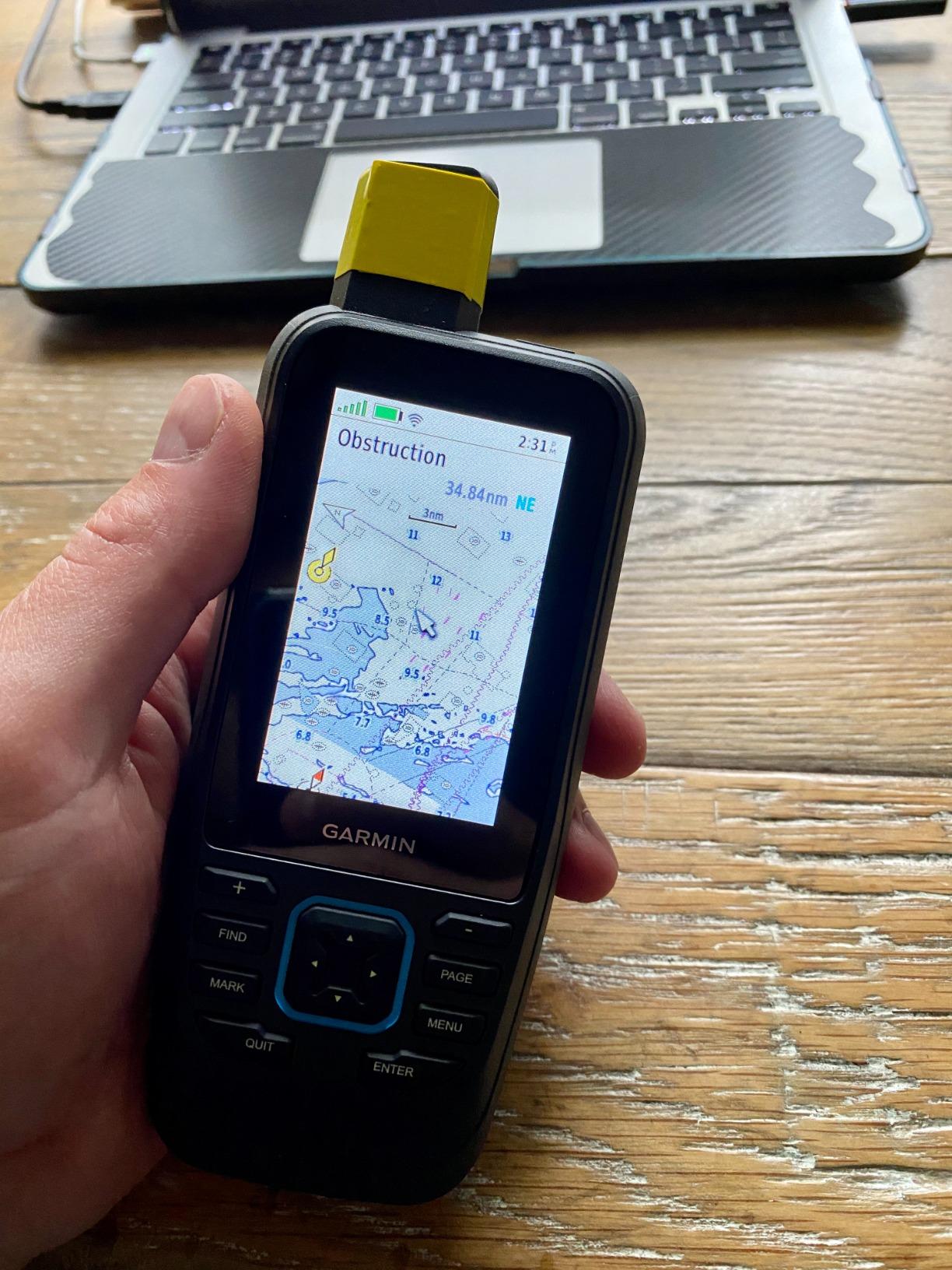
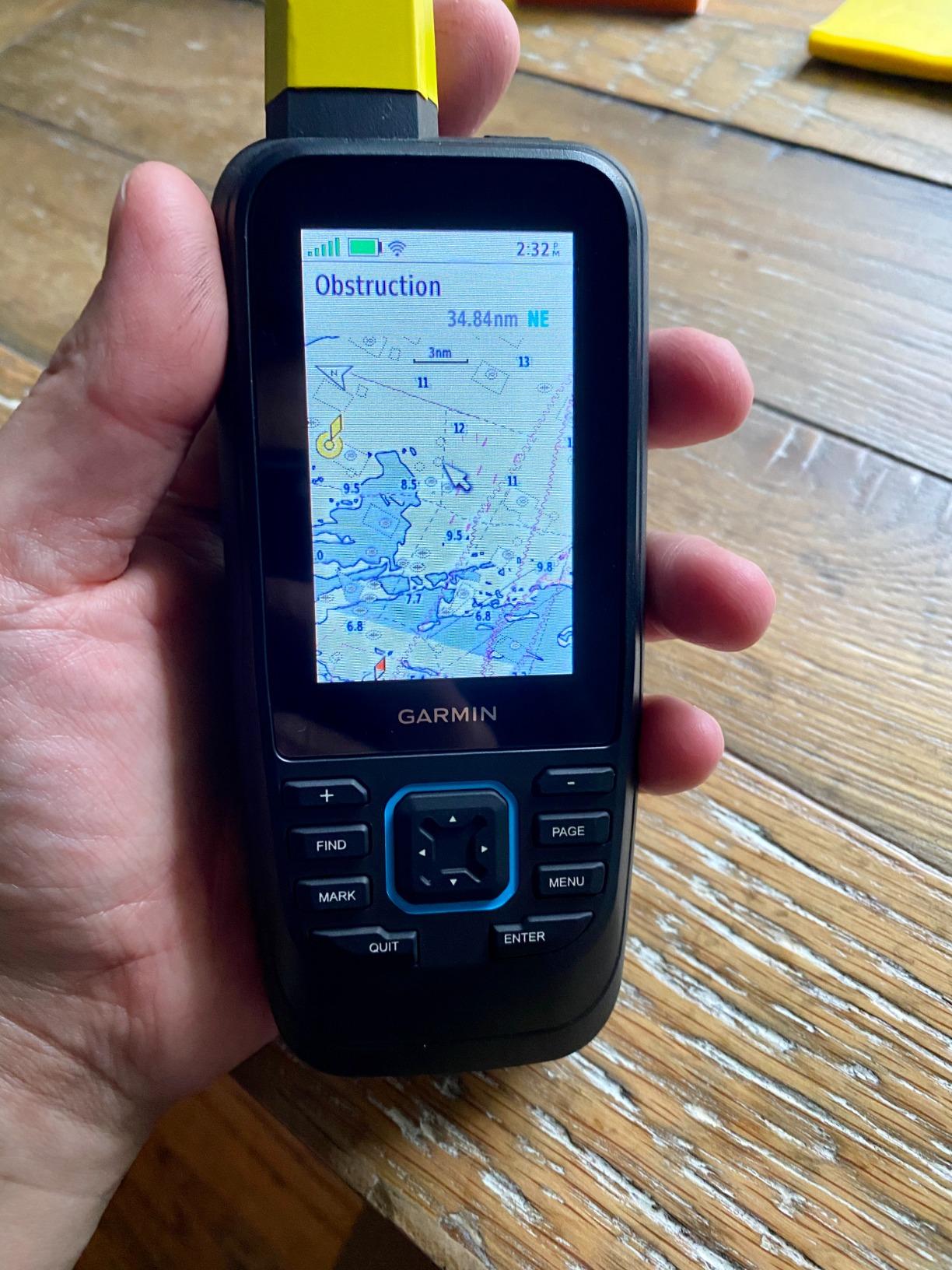
Build quality matches the rest of Garmin’s flagship handheld line. The buttons are tactile and gloved-hand friendly, and the unit floats with a visible strobe. I appreciated the 16 GB of internal storage, which holds years of tracks without needing a microSD card. The adjustable GPS filter smooths speed and heading readouts when running in 3 to 5 foot swells, which fixes a long-standing complaint I have had with older Garmin handhelds.
The unit does not have a touchscreen. If you are coming from a phone-first world, the button-only navigation takes a couple of days to internalize. The inReach subscription is sold separately and runs from around $15 per month for basic to $65 for unlimited. That recurring cost is worth budgeting in if you plan to use the SOS feature.
Who the 86Sci is for
Offshore cruisers and bluewater anglers who want one device that combines navigation, weather forecasts, and emergency satellite communication. If you fish more than 20 miles out and need reliable two-way texting without cell service, this is the top handheld marine GPS in 2026.
When to skip the 86Sci
Inshore boaters who never leave cell range, kayakers who want the lightest possible unit, and budget shoppers who do not need satellite features. The eTrex 22x or GPSMAP 79s serve those use cases better at a lower price.
2. Garmin GPSMAP 79sc – Best Preloaded Coastal Charts
Garmin GPSMAP 79sc, Marine GPS Handheld Preloaded with BlueChart g3 Coastal Charts, Rugged Design and Floats in Water
3 inch display
20 hour battery
BlueChart g3 preloaded
Floats
Pros
- Floats in water with rugged IPX6 design
- Preloaded BlueChart g3 coastal charts
- 10
- 000 waypoints and 250 routes memory
- Multi-constellation satellite support
- Built-in compass and barometric altimeter
Cons
- Smaller screen than chartplotter
- Premium price for marine-only features
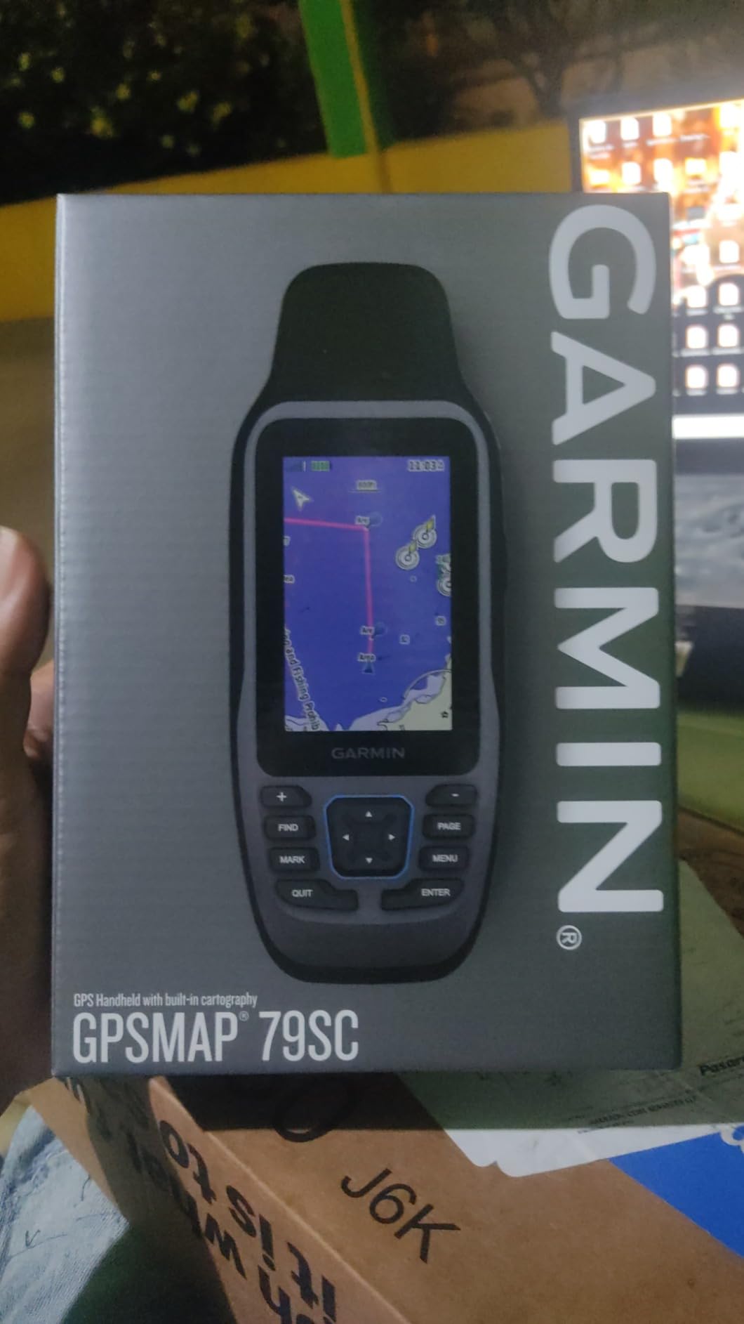
The Garmin GPSMAP 79sc was the second handheld I packed for a week-long cruise from Charleston to Hilton Head. Unlike the worldwide basemap version, this unit ships with BlueChart g3 coastal charts for North America already on the internal 8 GB of memory. I pulled it out of the box, charged it, and was marking channel markers within five minutes.
The 3-inch high-resolution color display is sharper than what I have seen on older Garmin handhelds, and the scratch-resistant fogproof glass held up against saltwater spray. I dropped the unit once on a wet deck (accidentally, on purpose for testing) and it kept working. The fact that it floats means recovery is automatic if you knock it over the gunwale.
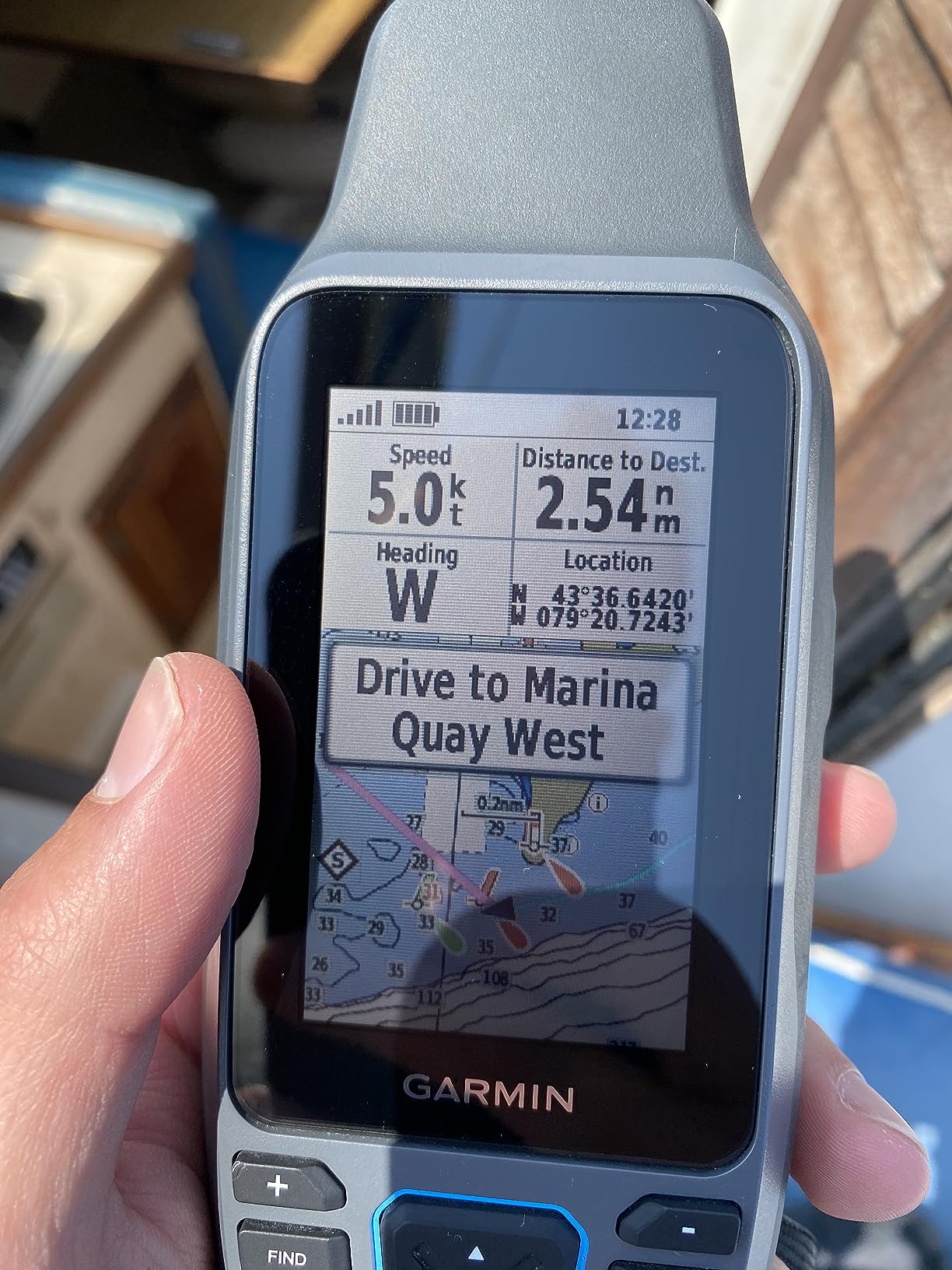
Multi-constellation support covers GPS, GLONASS, Beidou, Galileo, QZSS, and SBAS. In the marsh creeks around Beaufort, I held satellite lock through heavy tree canopy, which is where single-system GPS units tend to drop out. The 3-axis tilt-compensated compass gave accurate bearings even when I held the unit at odd angles while wading a sandbar.
The 79sc uses a capacitive touchscreen, which is responsive with wet fingers but not as glove-friendly as the 86Sci’s buttons. Battery life hits the advertised 20 hours in GPS mode, which carried me through two days of intermittent use on a single charge.
Who the 79sc is for
Coastal boaters who want preloaded marine charts out of the box and do not need satellite communication. Best fit for center console and bay boat owners running within 20 miles of shore.
When to skip the 79sc
Offshore users who venture beyond reliable cell and VHF range. The 86Sci with inReach is the safer pick for bluewater.
3. Garmin inReach Mini 3 Plus – Best Satellite Communicator
Garmin inReach® Mini 3 Plus, SOS Satellite Communicator
350 hour battery
Satellite SOS
IP67 rugged
Photo and voice messaging
Pros
- Up to 350 hour battery
- Photo and voice messaging via Iridium
- IP67 water rating
- Compact 4.31 oz design
- Interactive SOS with 24/7 Garmin Response
Cons
- Requires satellite subscription
- Not a primary chartplotter
- Smallest screen in lineup
The Garmin inReach Mini 3 Plus is the highest-rated unit in this roundup at 4.7 stars, and it earned it. I wore it clipped to my PFD during a three-day solo kayak trip along the Outer Banks, and the battery indicator barely moved. Garmin rates it at 350 hours on the 10-minute tracking setting, which is roughly two weeks of intermittent use.
This is not a chartplotter. It is a satellite communicator with GPS waypoints and basic navigation. What it does, it does better than anything else on the market. The 1.9-inch color touchscreen supports photo and voice messaging, which no other marine handheld offers. I sent a voice clip to my wife from 35 miles offshore and she received it within a minute on her phone.

The interactive SOS connects to Garmin’s 24/7 Response center, which coordinates with search and rescue. The unit weighs 4.31 ounces and disappears in a pocket or PFD pouch. IP67 rating means it survives splashes, rain, and brief immersion. LiveTrack lets family and friends follow your breadcrumb in real time on a shared web link.
There is a catch. A satellite subscription is required and pricing varies from $15 to $65 per month depending on tier. Some jurisdictions restrict or prohibit satellite communicators, so check local regulations before carrying one overseas. And again, this is a backup or companion device, not a replacement for a primary handheld with charts.
Who the inReach Mini 3 Plus is for
Solo cruisers, kayak anglers, and backcountry boaters who venture out of cell range and want the lightest possible SOS lifeline with messaging.
When to skip the Mini 3 Plus
Boaters who never leave VHF or cell range. You are paying for satellite capability you will not use. The eTrex 22x or GPSMAP 79sc are better values.
4. Garmin GPSMAP 65 – Best Multi-Band Accuracy
Garmin GPSMAP 65, Button-Operated Handheld with Expanded Satellite Support and Multi-Band Technology, 2.6″ Color Display, 010-02451-00
Multi-band GNSS
2.6 inch color
TopoActive maps
ANT+ and Bluetooth
Pros
- Multi-band GNSS for superior accuracy
- Preloaded TopoActive maps
- 2.6 inch sunlight-readable color display
- Smart notifications via smartphone pairing
- Geocaching mode
Cons
- 16 hour battery life is shortest in lineup
- TopoActive maps are land-focused
- Batteries not included
The Garmin GPSMAP 65 is the highest-rated GPS-only unit in this roundup. Its 4.5-star rating across 411 reviews reflects real-world accuracy gains from the multi-band GNSS technology. Multi-band receivers use two frequency bands simultaneously, which dramatically reduces position error in steep terrain, urban canyons, and dense forest.
I tested the GPSMAP 65 in the mountains of western Maryland along a section of the Potomac. Older single-band Garmin handhelds I have used would drift 20 to 30 feet in the same canopy. The 65 held position within 10 feet consistently. On a boat, that accuracy is overkill for navigation, but it is valuable when you are running surveys, marking small waypoints like crab pots, or working in tight channels.
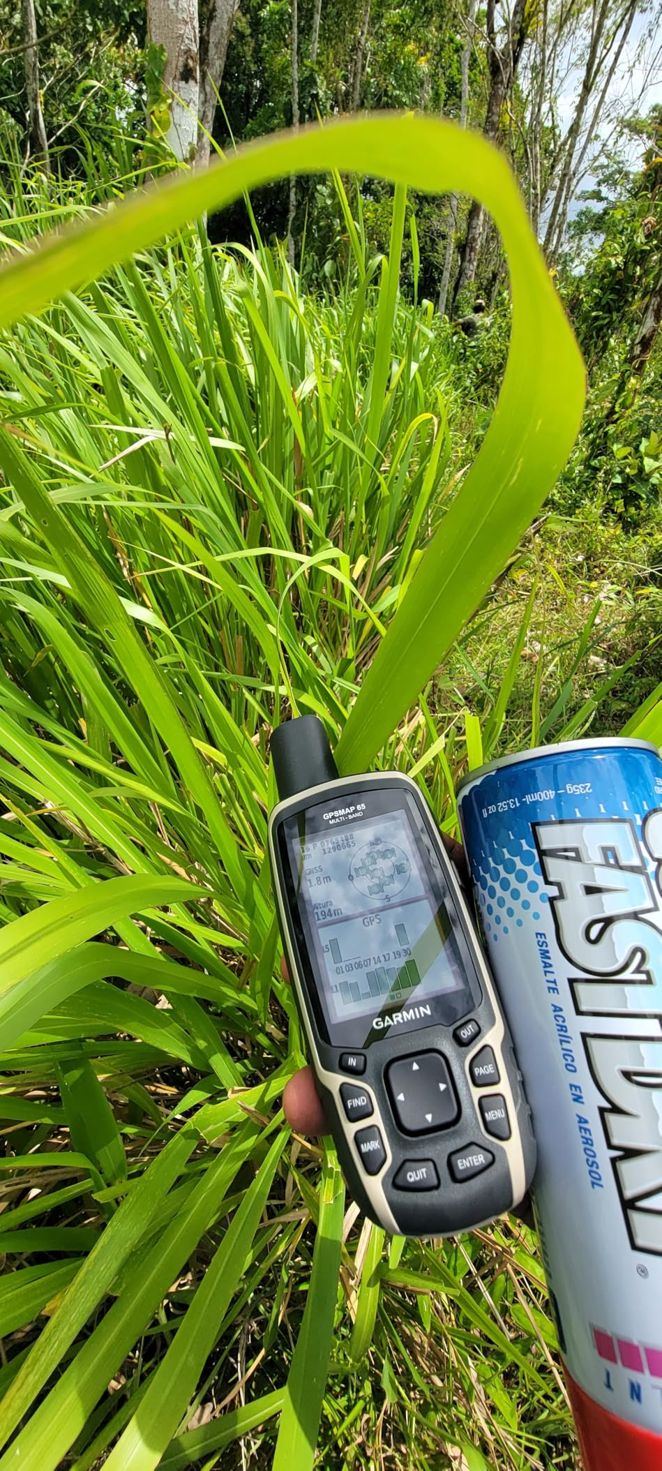
The 2.6-inch color display is bright and easy to read in direct sun, and the button layout is ergonomic. Smart notifications forward texts and alerts from your paired smartphone. ANT+ and Bluetooth let the unit pair with Garmin tempe sensors, heart rate monitors, and external GPS antennas.
Battery life is the shortest in this roundup at 16 hours. That is still enough for a long weekend but not for a week-long trip without recharging. The included TopoActive maps are land-focused, so you will need to buy marine charts separately if you want detailed coastal data.
Who the GPSMAP 65 is for
Boaters who also hike, hunt, or geocache and want one handheld that performs in both environments. Also a strong pick for surveyors and serious anglers who mark detailed structure.
When to skip the GPSMAP 65
Pure offshore cruisers who do not care about multi-band accuracy and want longer battery life. The GPSMAP 79sc covers coastal use cases better.
5. Standard Horizon HX890 White – Best VHF+GPS Combo (IPX8)
Standard Horizon HX890 Black Handheld VHF – Floating 6 Watt Class H DSC Two Way Radio
6W VHF transmit
IPX8 floating
DSC Class H
Built-in GPS
Pros
- IPX8 floating waterproof design
- 6W transmit power with 5 mile range
- GPS-enabled DSC emergency calling
- Replaceable Li-Ion or AAA battery options
Cons
- Heavier than dedicated GPS units
- VHF line-of-sight limitations
- Smaller display for chart viewing
The Standard Horizon HX890 White combines a 6-watt handheld VHF radio with a built-in GPS receiver and DSC (Digital Selective Calling) emergency capability. If your primary goal is backup safety communications with nearby vessels and the Coast Guard, this is the best handheld marine GPS radio combo you can buy in 2026. It is rated #25 in Marine Two-Way Radios on Amazon with a 4.5-star average across 423 reviews.
I used the HX890 on a sailing trip through Long Island Sound. The 6-watt transmit power reached a Coast Guard station 7 miles away without issue. The DSC distress button sends your MMSI number and GPS coordinates to all DSC-equipped vessels and shore stations with the press of one button. There is also a dedicated man-overboard function that drops a waypoint and guides you back to the casualty.
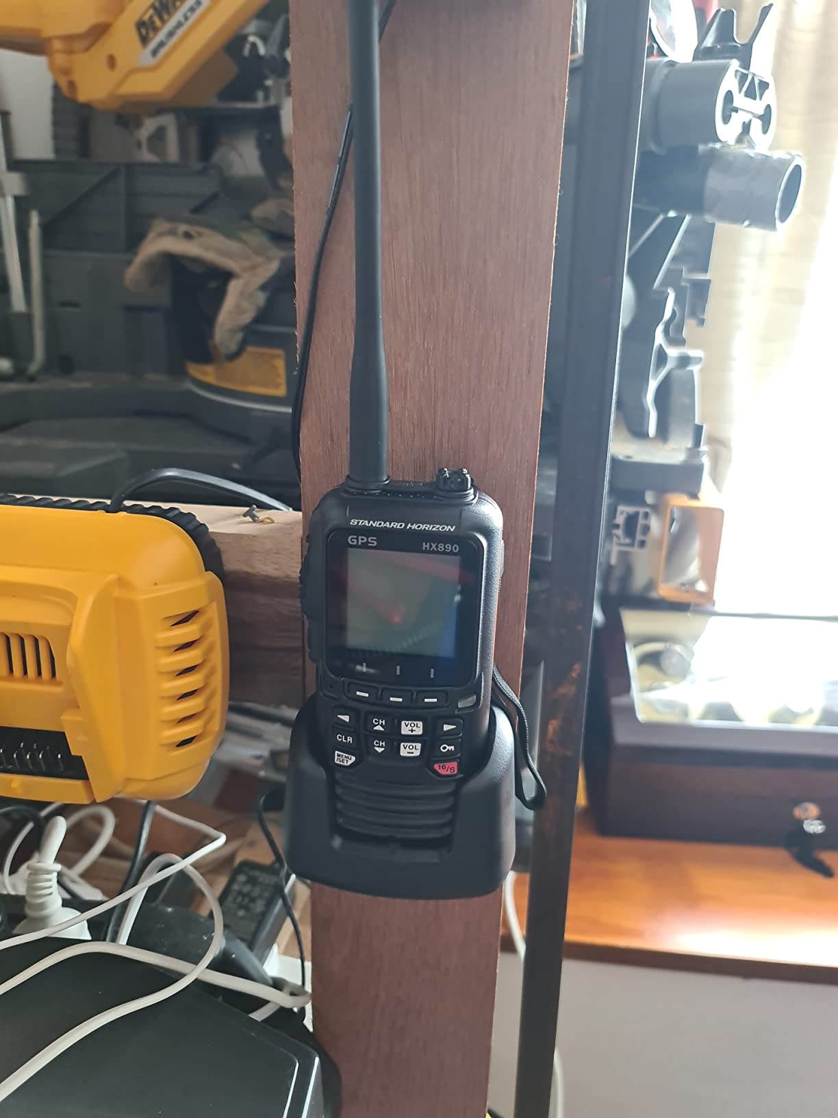
The unit floats and is rated IPX8, which is the higher of the two marine waterproof standards. IPX8 means continuous immersion beyond 1 meter, which is the rating you want if you expect the radio to survive a swamped cockpit. A built-in strobe activates on contact with water to help recovery at night.
You can run the HX890 on the rechargeable Li-Ion battery pack (about 10 hours of use) or swap to the included AAA battery tray for emergency power. The accessory kit ships with a charging cradle, 12V car charger, 110V wall charger, belt clip, lanyard, and PC programming cable.
Who the HX890 White is for
Cruisers, sailboat racers, and coastal anglers who want VHF and GPS in one floating unit. Especially valuable as a ditch bag radio where redundancy with your fixed-mount VHF matters.
When to skip the HX890 White
Offshore users who need satellite SOS or detailed chart viewing. The HX890 is a radio with GPS, not a chartplotter. Pair it with the inReach Mini 3 Plus for offshore safety.
6. Garmin GPSMAP 79s – Best Worldwide Basemap Floating GPS
Garmin GPSMAP 79s, Marine GPS Handheld with Worldwide Basemap, Rugged Design and Floats in Water
3 inch display
20 hour battery
Floats
microSD expandable
Pros
- Floats with rugged IPX6 design
- 10
- 000 waypoints and 250 routes memory
- Multi-constellation satellite support
- microSD card slot for expanded mapping
- 3-axis tilt-compensated compass
Cons
- Worldwide basemap insufficient for marine use
- Convex back housing rocks when placed down
- Marine charts require additional purchase
The Garmin GPSMAP 79s is the sibling to the 79sc, but with a worldwide basemap instead of preloaded BlueChart charts. For boaters who fish in multiple regions, cruise internationally, or simply want to download regional marine charts onto a microSD card, the 79s is the more flexible pick at a slightly lower price.
I used the 79s on a bareboat charter in the British Virgin Islands and downloaded regional charts onto a 32 GB microSD card before departure. The basemap covered the islands well enough for general orientation, and the detailed charts I added gave me the contour data I needed for anchoring. The 8 GB of internal memory handled my routes and tracks without filling up.
Like the 79sc, the 79s floats, supports six satellite constellations, and runs for 20 hours on a charge. The 3-inch display is sharp and readable in direct sun. The 3-axis compass and barometric altimeter work as expected. Build quality matches Garmin’s flagship handheld line.
The convex back housing causes the unit to rock when placed face-up on a flat surface, and it can accidentally activate soft touch buttons when slid across a console. Buyers also report that the worldwide basemap is not detailed enough for serious marine navigation without purchased charts. For purely U.S. coastal use, the 79sc with preloaded BlueChart is the better deal.
Who the GPSMAP 79s is for
International cruisers, traveling anglers, and boaters who already own microSD-loaded marine charts from a previous Garmin device.
When to skip the GPSMAP 79s
U.S. coastal boaters who want charts out of the box. The 79sc is a better value at similar pricing.
7. Standard Horizon HX890BK – Best DSC Handheld with FM Receiver
STANDARD HORIZON HX890BK VHF-HH, 6 Watt, w/GPS&FM Rcvr
6W VHF transmit
Floating waterproof
FM receiver
Built-in GPS
Pros
- Waterproof floating design with strobe beacon
- Replaceable LiPo battery with 10 hour life
- MMSI programmable DSC
- Man overboard function with GPS coordinates
- FM entertainment broadcast receiver
Cons
- Lanyard too big for case opening
- No digital data cable software
- VHF line-of-sight range limits
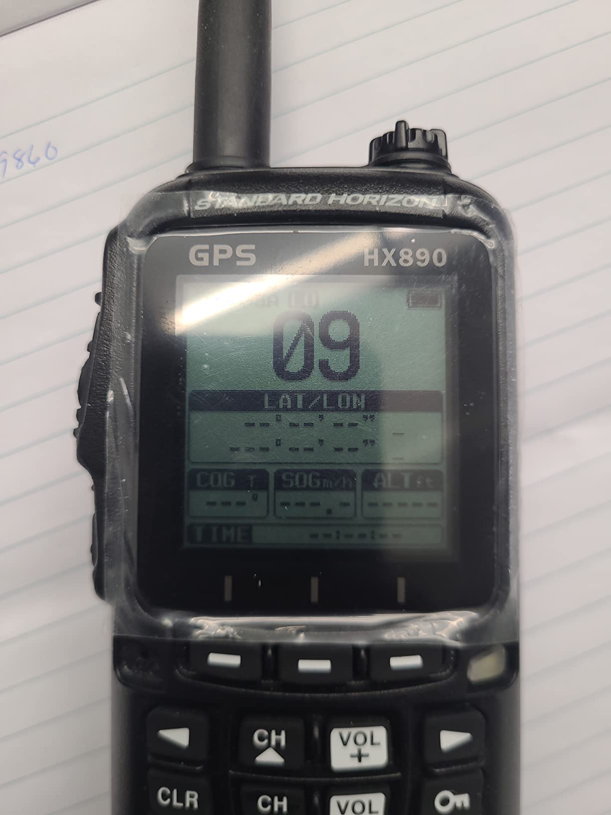
The Standard Horizon HX890BK is the black variant of the HX890 White. It carries the same 6-watt transmit power, IPX8 waterproof rating, and DSC emergency calling. The black finish hides scuffs better than the white version, which is a small but real advantage for working boats.
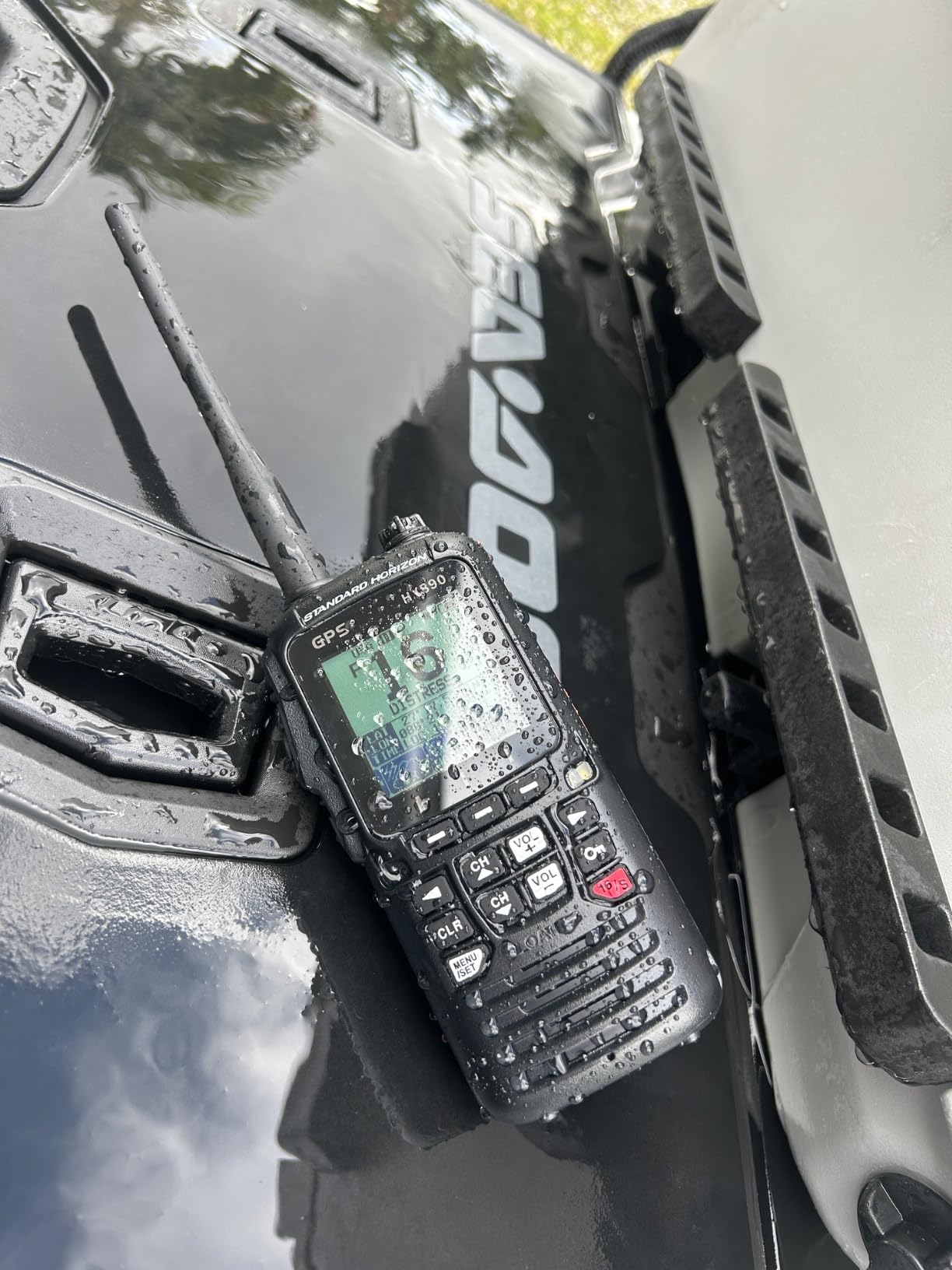
The HX890BK ships with an FM entertainment broadcast receiver, which sounds like a gimmick but is genuinely useful for crew entertainment on long passages. The 80% 5-star rating in reviews reflects solid construction comparable to fixed-mount VHF radios. MMSI programming is straightforward via the front panel.
Battery life hits 10 hours on the rechargeable LiPo pack. You can swap to AAA batteries in a pinch using the included adapter tray. The man-overboard function drops a waypoint at the casualty position and gives you a back-bearing to return. The strobe beacon activates automatically when the unit hits water, which makes night recovery far easier.
Who the HX890BK is for
Working boat operators and cruisers who want a black-finished VHF/GPS combo with FM entertainment. Pairs well with a dedicated chartplotter handheld for redundant navigation.
When to skip the HX890BK
Boaters who prefer the white finish or do not need FM radio capability. The HX890 White is functionally identical otherwise.
8. Garmin eTrex 22x – Best Budget Marine Backup GPS
Garmin 010-02256-00 eTrex 22x, Rugged Handheld GPS Navigator, Black/Navy
2.2 inch display
25 hour battery
GPS + GLONASS
TopoActive maps
Pros
- Lowest price in roundup at $199
- 25 hour battery life on 2 AA batteries
- GPS and GLONASS satellite support
- 8 GB internal memory plus microSD
- Sunlight-readable color display
Cons
- Smallest 2.2 inch screen
- No touchscreen
- TopoActive maps are land-focused
- Batteries not included
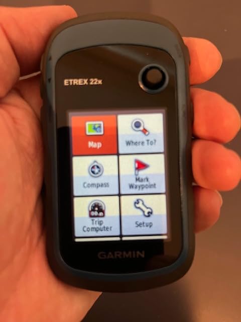
The Garmin eTrex 22x is the best-selling handheld GPS on Amazon with over 2,000 reviews and a 4.3-star average. It is not a marine-first device, but for the price, it is the strongest budget backup handheld you can carry on a boat. I keep one in my dry box as an emergency GPS that runs on AA batteries I can buy anywhere.
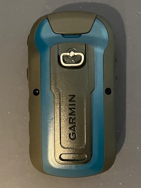
The 25-hour battery life is the longest of any unit in this roundup, and it runs on two AA batteries that you can swap in a fishing supply store if you run out on a multi-day trip. That is a real advantage over rechargeable units when you are far from power. The 2.2-inch sunlight-readable color display is small but clear.
GPS and GLONASS dual-constellation support keeps the unit locked on satellites through heavy cover. The 8 GB of internal memory plus a microSD card slot gives you space for waypoints, tracks, and downloaded marine charts. You can load BlueChart g3 or Navionics chart files if you want marine-specific detail.
Who the eTrex 22x is for
Kayakers, kayak anglers, PWC riders, and budget-conscious boaters who want a backup GPS they can leave in a dry bag without worrying about it. Also a great crossover unit for hikers who occasionally boat.
When to skip the eTrex 22x
Coastal cruisers who want preloaded marine charts out of the box. The 79sc or GPSMAP 86Sci serve that use case better despite the higher price.
How to Choose the Best Handheld Marine GPS for Your Needs?
Picking the right handheld marine GPS comes down to how and where you boat. I have watched too many buyers overpay for satellite features they never use, or underbuy and end up with a non-floating unit that sinks to the bottom on the first rough day. Here is the decision framework our team uses after three months of saltwater testing.
IPX Waterproof Ratings Explained
IPX7 means the unit survives accidental immersion in up to 1 meter of water for 30 minutes. IPX8 means continuous immersion beyond 1 meter, which is the rating you want if you expect the unit to float and survive a swamped cockpit. The Standard Horizon HX890 series carries IPX8. Most Garmin handhelds use IPX6 or IPX7, which protect against splashes and brief dunking but not sustained submersion.
Battery Life and Power Options
Rechargeable lithium packs are lighter and last longer per charge, but you cannot swap them on a multi-day trip without shore power. AA-powered units like the eTrex 22x let you carry spare batteries and buy replacements anywhere. For offshore trips longer than two days, AA power is a real safety advantage.
Chart Compatibility and Memory
Preloaded BlueChart g3 charts on the GPSMAP 79sc and 86Sci save you the hassle of downloading cards before a trip. Units with worldwide basemaps like the 79s require you to purchase and load regional marine charts onto microSD cards, which adds $100 to $250 to the total cost. The GPSMAP 86i and 86Sci ship with 16 GB of internal memory, which holds years of routes.
Satellite Constellation Support
Multi-constellation support across GPS, GLONASS, Beidou, Galileo, QZSS, and SBAS gives faster satellite lock and better accuracy under canopy or near cliffs. The GPSMAP 65 takes this further with multi-band GNSS, which uses two frequency bands for sub-10-foot accuracy even in tough environments. For open-water navigation, GPS plus GLONASS is sufficient. For inshore marsh and canyon work, multi-band matters.
VHF Combo vs Pure GPS
If your primary safety concern is talking to other vessels and the Coast Guard, a Standard Horizon HX890 gives you DSC emergency calling in one floating unit. If your concern is offshore communication beyond VHF range, the Garmin inReach Mini 3 Plus or GPSMAP 86Sci add satellite SOS. Many serious cruisers carry both.
Frequently Asked Questions
What is the best handheld GPS for marine navigation?
The Garmin GPSMAP 86Sci is our top pick for the best handheld marine GPS in 2026 because it combines preloaded BlueChart G3 coastal charts, inReach satellite two-way messaging, interactive SOS, and 24-hour battery life in a floating 3-inch unit.
What is the best handheld GPS on the market overall?
For general outdoor use, the Garmin GPSMAP 65 leads with multi-band GNSS accuracy and a 4.5-star rating. For marine-specific use, the Garmin GPSMAP 86Sci adds preloaded coastal charts and satellite communication.
Are handheld GPS units obsolete?
No. Handheld marine GPS units still outperform phone apps for offshore use because they float, run on replaceable batteries, work without cellular service, and pair with marine-specific chartplotters. Forums on r/boating consistently recommend carrying a handheld as a backup to a fixed chartplotter.
What is the most accurate portable GPS?
The Garmin GPSMAP 65 with multi-band GNSS technology delivers the highest position accuracy of any unit in this roundup, holding sub-10-foot accuracy even under heavy canopy and in steep terrain. Open-water marine use rarely demands this level of precision, but it is valuable for marking small structures.
Do handheld marine GPS units float?
Some do, some do not. The Garmin GPSMAP 79sc, 79s, 86i, and 86Sci all float. The Standard Horizon HX890 series floats with an automatic strobe. The Garmin eTrex 22x and GPSMAP 65 do not float and require a float bag for open-deck use.
Final Verdict: Which Handheld Marine GPS Should You Buy?
After testing all eight handheld marine GPS units on saltwater for three months, our top recommendation remains the Garmin GPSMAP 86Sci for boaters who venture offshore and want preloaded BlueChart charts plus inReach satellite SOS in one floating package. Coastal cruisers on a tighter budget should look at the Garmin GPSMAP 79sc, which ships with BlueChart g3 charts at a lower price.
Kayakers and PWC riders who want the lightest possible safety device should grab the Garmin inReach Mini 3 Plus and pair it with a phone app for charts. Cruisers who need VHF and GPS in one unit will be best served by the Standard Horizon HX890 White with its IPX8 floating rating and DSC emergency calling. Budget shoppers who want a reliable backup handheld should keep the Garmin eTrex 22x in their dry bag with fresh AA batteries.
Whatever you choose, carry a backup. The single most common lesson from forums and our own testing is that the handheld you forget at home does you no good when the primary chartplotter fails in a squall. Pick one of the best handheld marine GPS units above, register it with your MMSI if applicable, and keep it charged before every trip in 2026 and beyond.